Motorcycle Tour: The
Boonesborough-Clays Ferry Loop,
Kentucky
Copyrighted
©2014 by DRC
View
the Boonesborough
ride (Youtube).
View
the Clays
Ferry ride (Youtube).
View
the Grimes
Mill ride (Youtube).
Boonesboro-Clays
Ferry kml file for GPS
Grimes Mill
kml file for GPS
White
Hall kml file for GPS
Simpson Lane
kml file for GPS
The following
is a list of sites mentioned in the tour, in order visited, with
informative links.
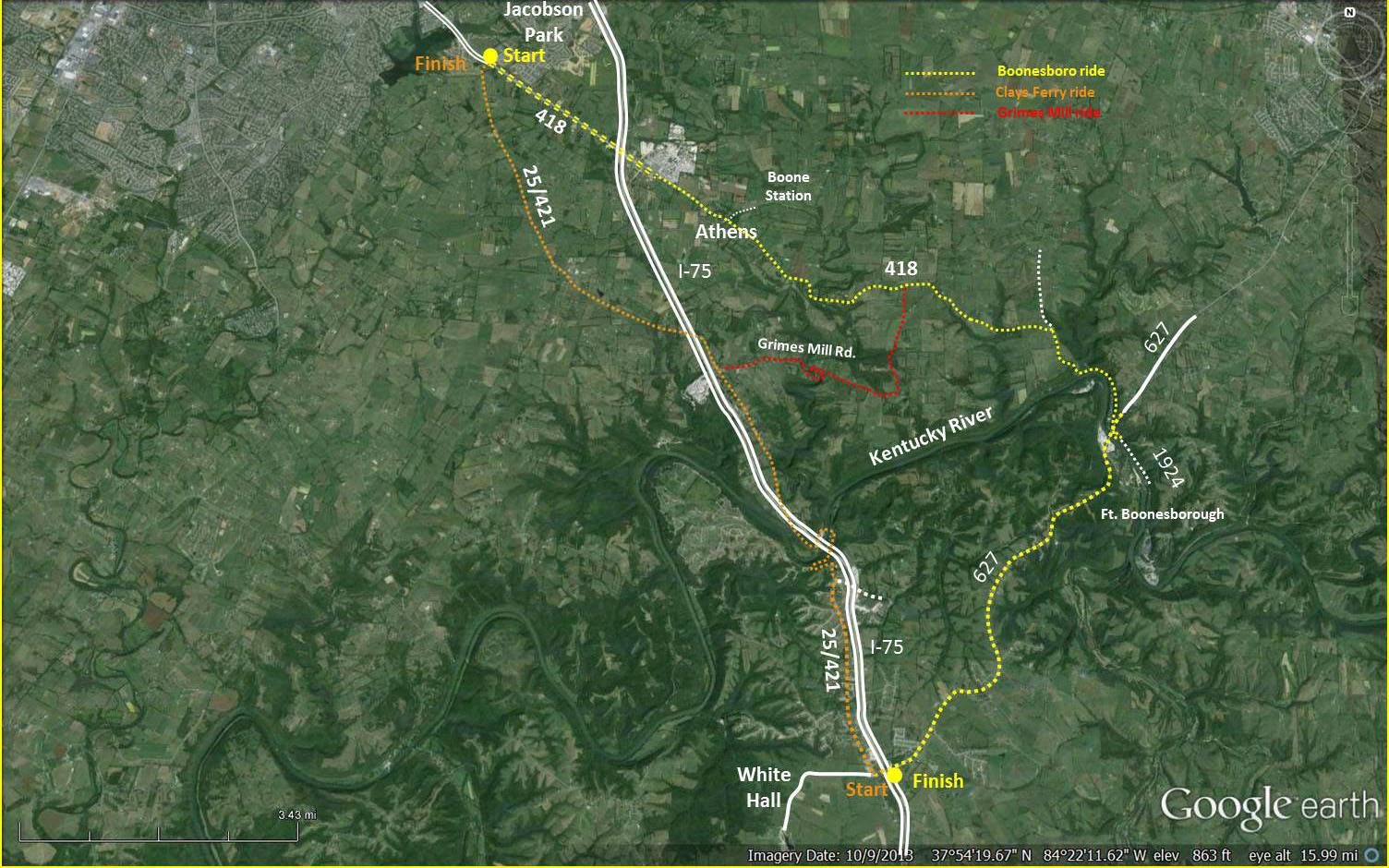
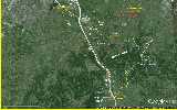
The
Boonesboro segment
(in
yellow on the first map)
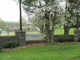
Jacobson
Park
- Jacobson
Park (Lexington government)
Athens,
KY
- Athens,
Kentucky (Wikipedia)
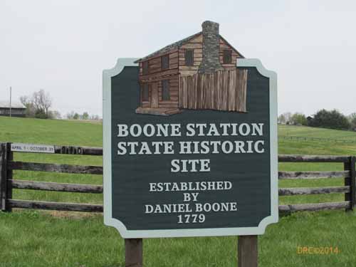
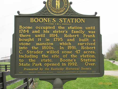
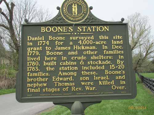
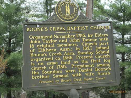
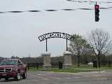
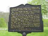
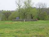
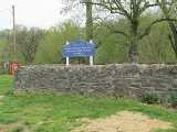
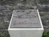
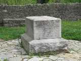
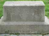
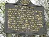
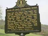
Boone
Station
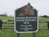
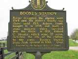
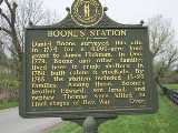
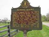
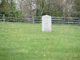
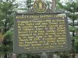
- Boone
Station (Wikipedia)
- Boone
Station (Ky. Dept. of Parks)
- Daniel
Boone (Wikipedia)
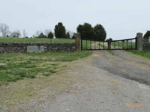
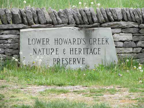
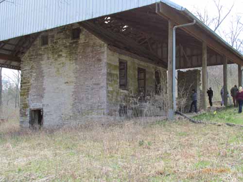
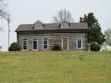
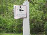
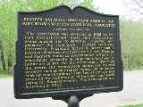
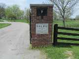
Lower
Howard's Creek Nature and Heritage Preserve
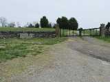
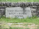
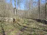
- Lower
Howard's Creek Nature and Heritage Preserve (official website)
- Lower
Howard's Creek Nature and Heritage Preserve (Ky. State Nature
Preserves Commission)
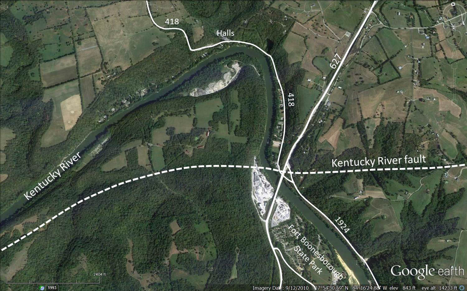
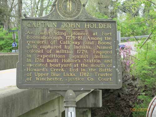
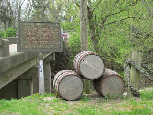
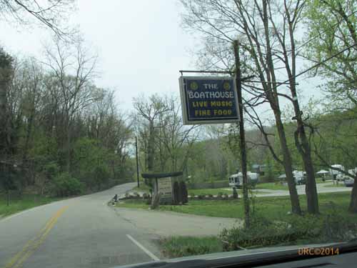
From
Holder's Station and Hall's on the River Restaurant to 627
- John
Holder Trail (Howard's Creek nature preserve above)
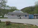
- Hall's
On the River (official website)
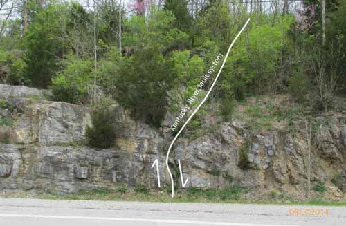
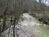
- Kentucky
River Palisades (Wikipedia)
- Kentucky
River (Wikipedia)
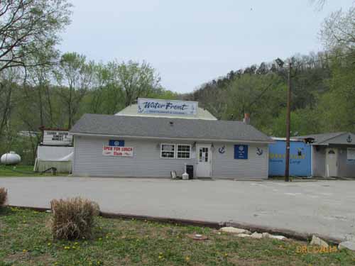
- Waterfront
Restaurant and Lounge (official website)
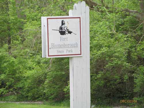
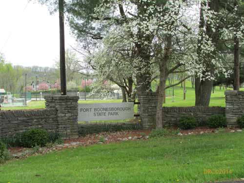
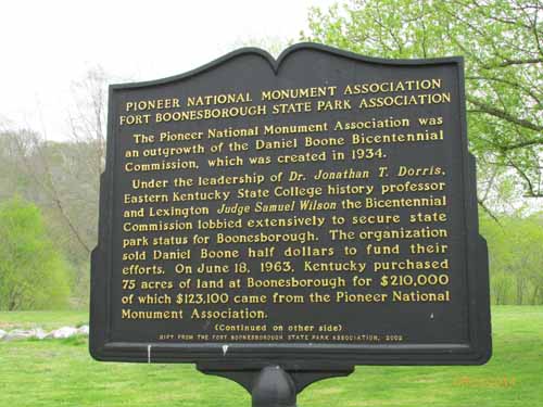
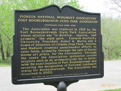
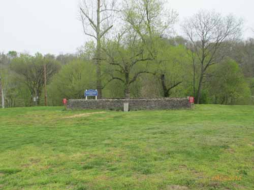
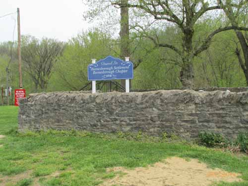
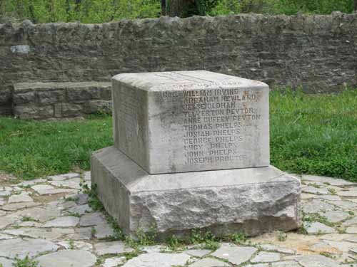
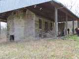
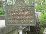
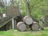
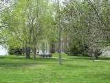
Fort
Boonesborough State Park
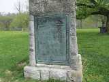
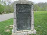
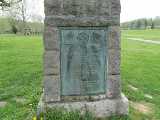
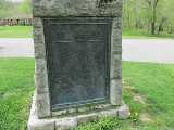
- Fort
Boonesborough State Park (Wikipedia)
- Fort
Boonesborough State Park (Ky. State Parks)
- Fort
Boonesborough Living History
- Daniel
Boone (Wikipedia)
- Boonesborough,
Kentucky (Wikipedia)
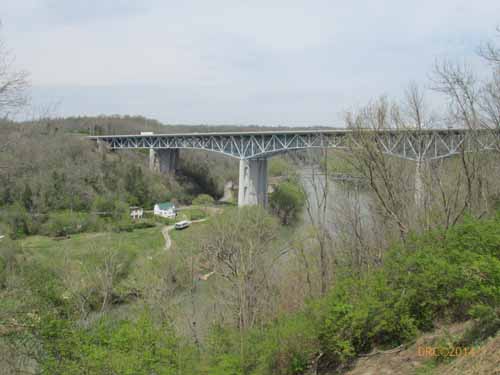
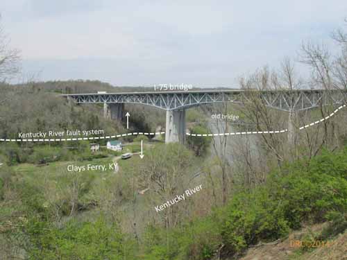
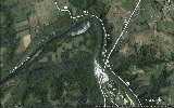
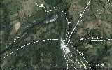
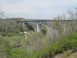
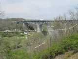
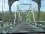
Clays Ferry
segment
(in orange on the
map)
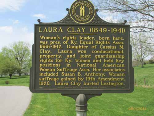
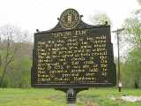
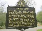
White
Hall
- White
Hall (Wikipedia)
- White
Hall (Ky. State Parks)
- Cassius
Marcellus Clay (Wikipedia)
- Green
Clay (Wikipedia)
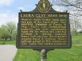
- Laura
Clay (Wikipedia)
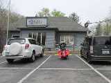
Clays
Ferry, Kentucky
- Riptide
on the River restaurant (official website)
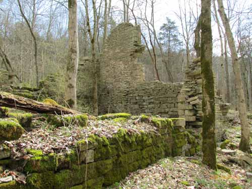
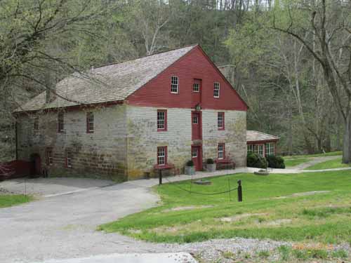
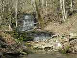
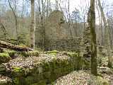
Grimes
Mill Road segment
(in red on the map)
Grimes
Mill and the Iroquois Hunt Club
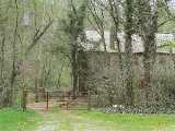
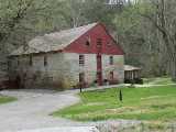
- Iroquois
Hunt Club (official website)