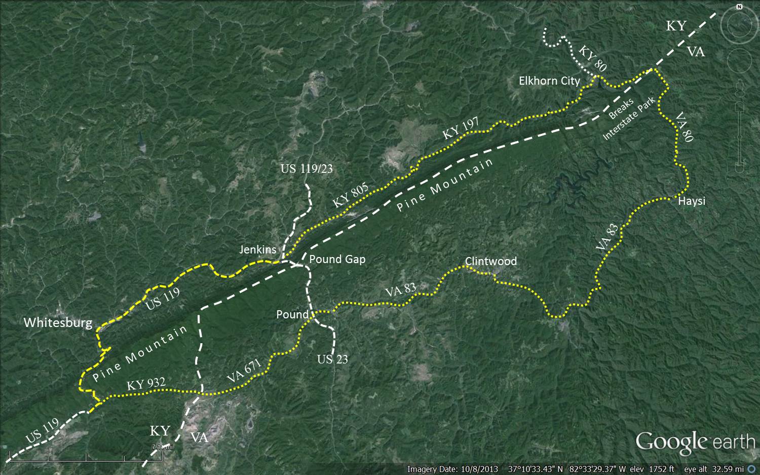
Jellico,
Tennesse to Siler, Kentucky (Doc Siler Road and KY-1595)
Siler to
Pineville (KY-92)
Jellico to Siler:
Siler to Pineville:
Middle
Segment
65 Miles
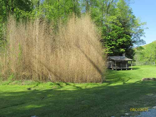
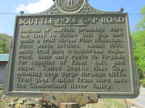
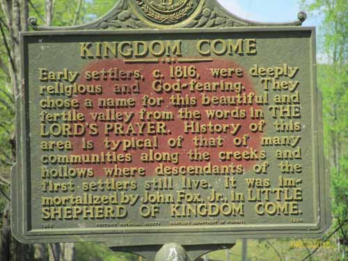
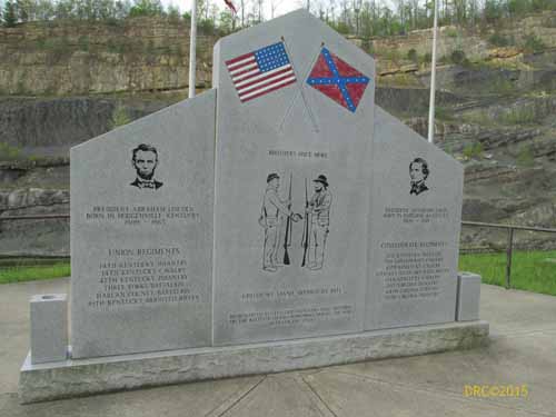
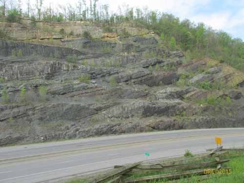
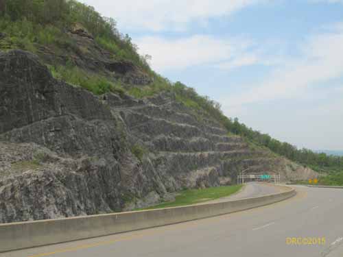
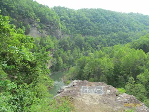
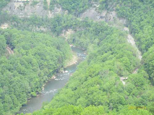
Click to see larger image.
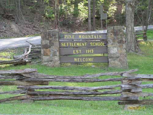
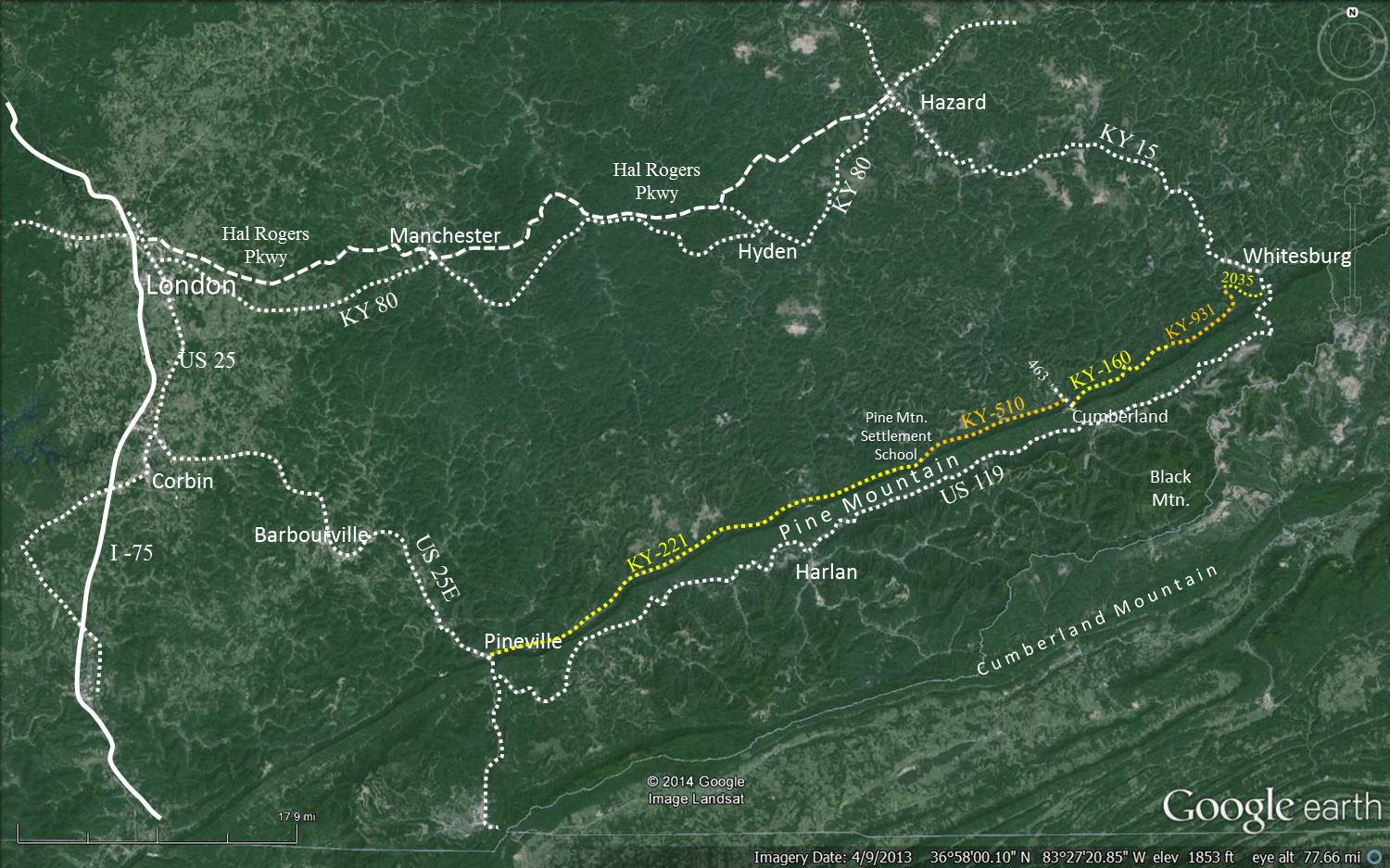
Pineville
to
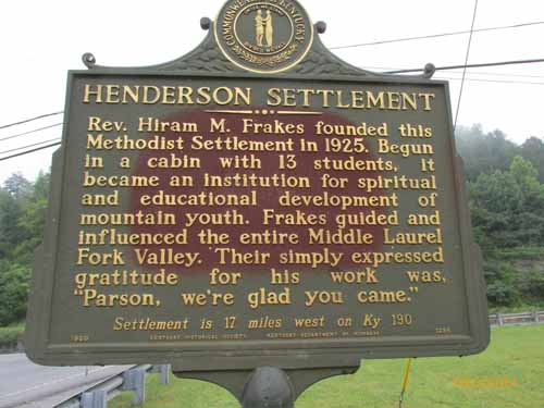
Pine Mountain Settlement School (KY-66 and KY-221, mostly
221)
Pine Mountain
Settlement School to Whitesburg
(KY-510, KY-160, KY-931, KY-2035 and US-119)
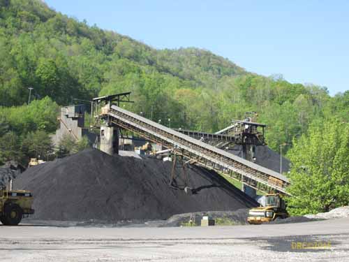
This segment is 65
miles long with no dependable gasoline stations between Pineville and
Whitesburg. One should obtain gas at Pineville or Whitesburg, or cross
the Pine Mountain gaps at US-421 to Harlan or KY-160 to Cumberland for
gas stations. This route changes highway numbers throughout the range.
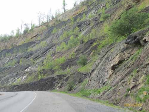
The entire road is paved, but some sections have no shoulder. Gravel
may appear on the pavement at mine entrances or at intersections. The
road may be busy with fast moving coal-haul trucks which may cross the
center line, therefore travel slowly and allow the trucks enough room
to get out of your way. The truck drivers are very good but are paid by
the number of trips that they make.Haul trucks do not operate on
Sundays and only partially on Saturdays. Travel slowly, be alert, and
enjoy the ride.