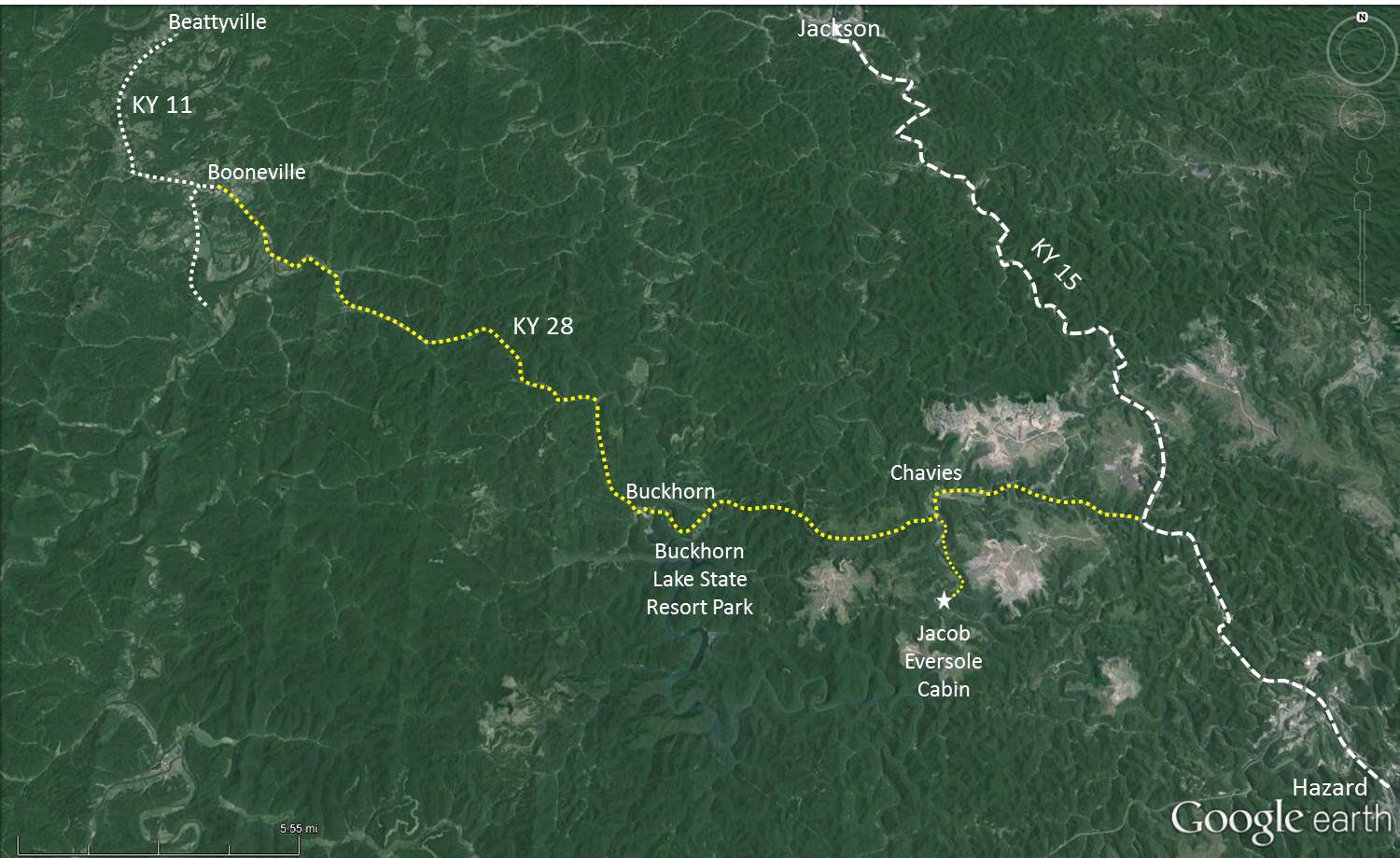
Kentucky Highway 28 from Kentucky 15 to Booneville
37 Miles
Copyrighted ©2015 by
DRC
The route is in yellow on the map below. Scroll down to see all the information.
Click to see larger image.
Ky-28 from Chavies to Booneville
kml file for GPS
Ky-28 from Ky-15 to Eversole cabin
kml file for GPS
Kentucky Highway 28
Kentucky 15 to Buckhorn
Buckhorn to Booneville
Kentucky 15 to Buckhorn
:
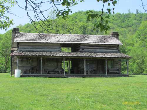
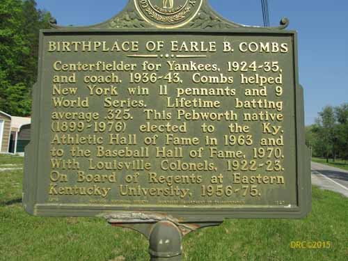
near Chavies
Jacob Eversole cabin, the oldest remaining building in Eastern Kentucky [lat 37°19'1.70"N, long 83°21'16.10"W]
The route to the cabin is in yellow on the map below. Scroll down to see all the information.
Click to see larger image.
Jacob Eversole cabin
, Perry County website
Jacob Eversole cabin
, Carlos Brock website
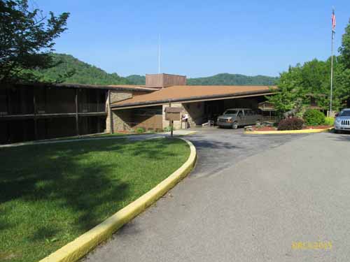
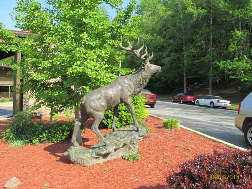
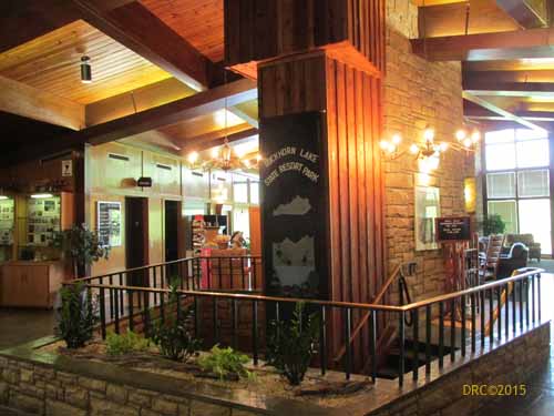
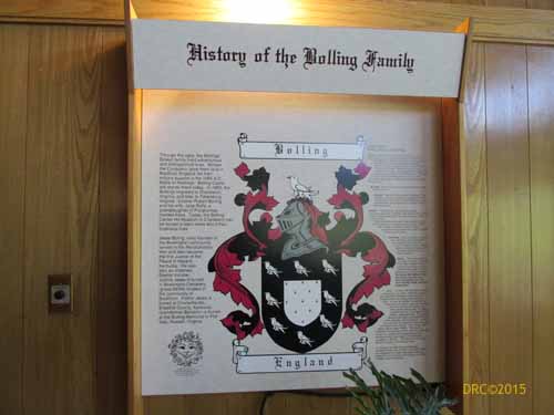
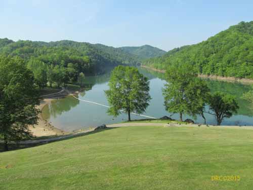
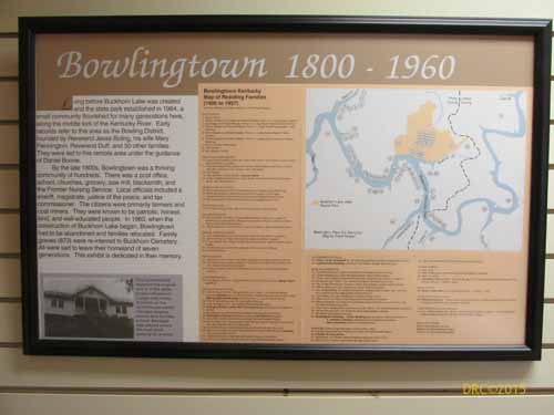
Buckhorn Lake State Resort Park
Buckhorn Lake State Resort Park
(Wikipedia entry)
Buckhorn Lake
(Kentucky State Park website)
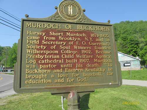
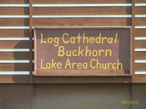
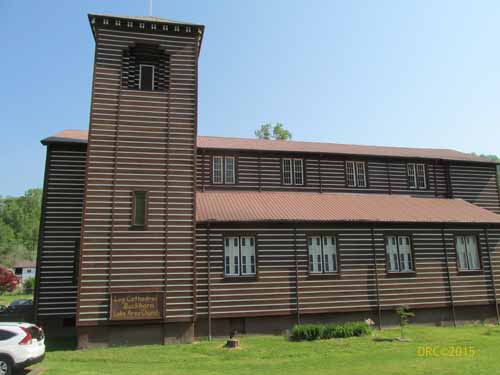
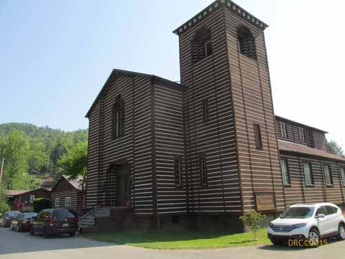
Buckhorn, Kentucky
Buckhorn to Booneville:
between Buckhorn and Booneville
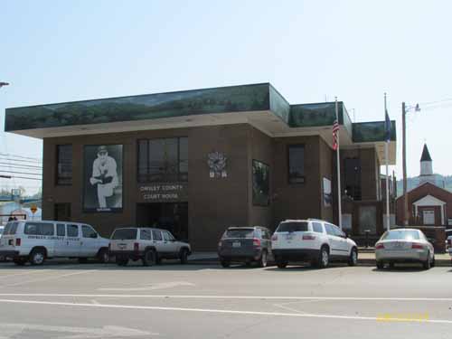
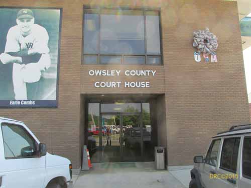
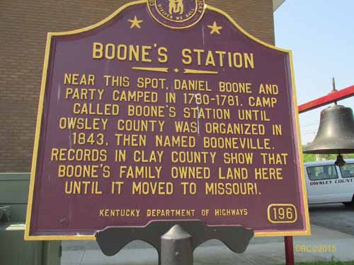
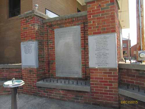
Booneville
Booneville
(Wikipedia entry)