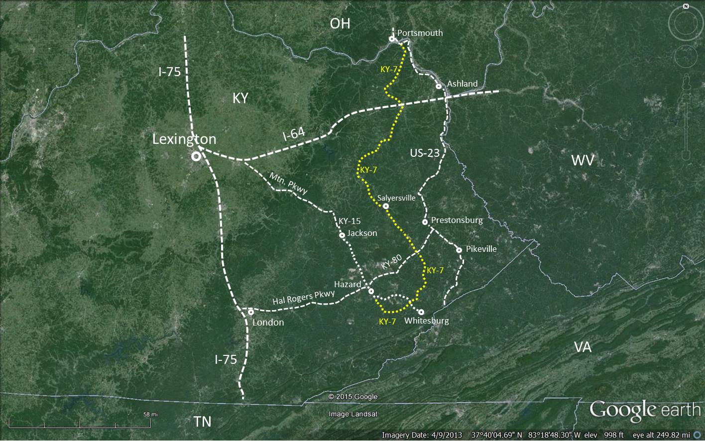
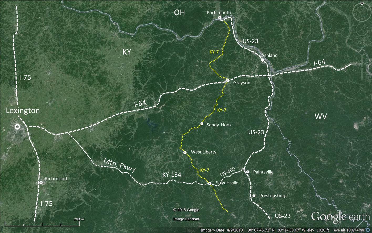
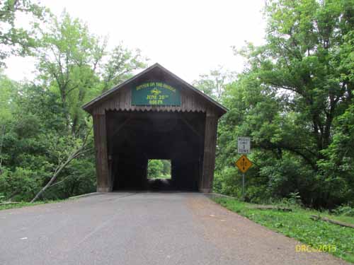
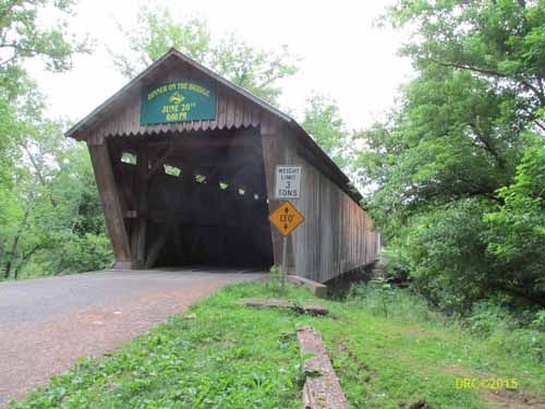
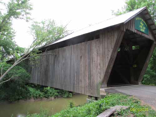
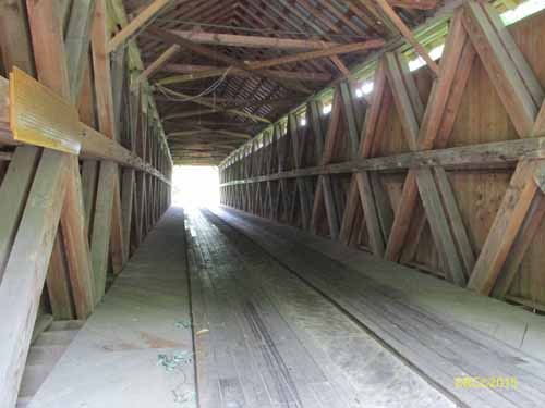
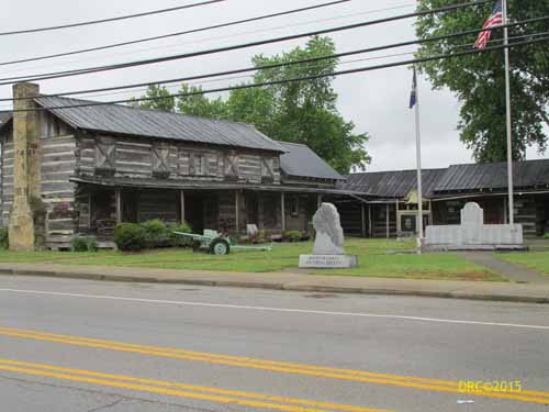
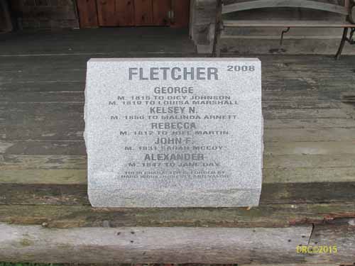
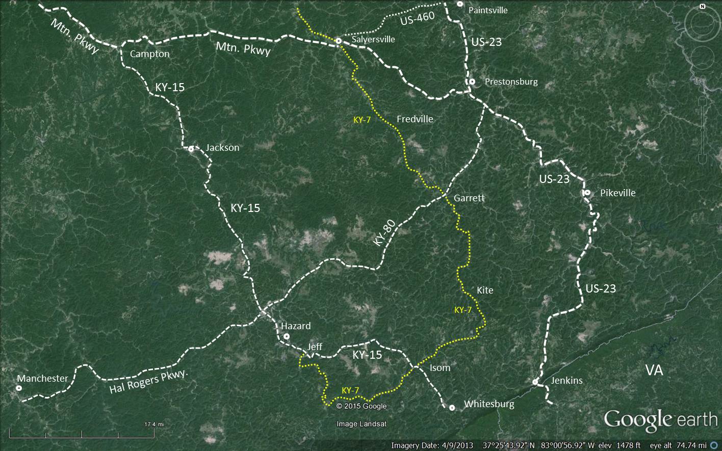
Kentucky 7: Southern
Part--Salyersville to Hazard (95 miles)
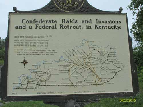
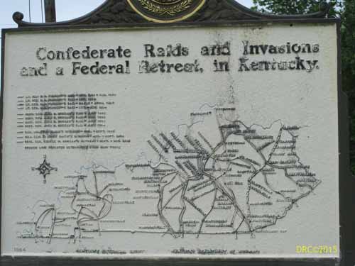
The route
is in yellow on the map below. Scroll down to see all
the information.
Click to see larger image.
Between Salyersville and
Isom:
Isom to Jeff:
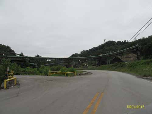
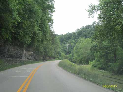
For several miles, the road near Isom closely follows the railway and
crosses the rail numerous times. Be
aware that there may be a sharp corner or curve at this
crossing that cannot be seen till you are on the crossing.