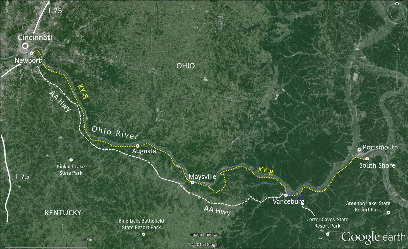
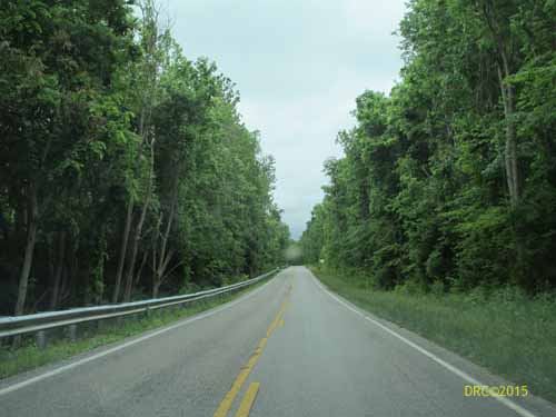
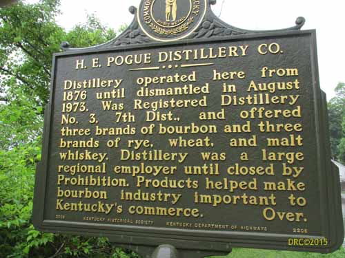
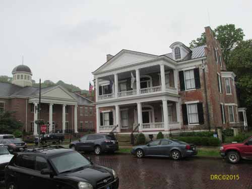
Kentucky Highway 8 (aka Mary Ingles Highway)
Note: The highway surface is very irregular and quite lumpy in some
areas because of slumping and compaction. Please use caution in these
areas.
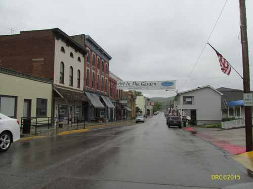
Augusta to Maysville Maysville to
South Shore (also 61 miles):
From Maysville to Vanceburg, it will be easier to take Ky-10 and then
Ky-9 to Vanceburg and there catch Ky-8. Kentucky Highway 8 from
Maysville to Concordia is a series of poorly marked, small roads and it
will be easy to get lost. Hopefully, in the future the state will make
the signs and roads for this segment more robust than they are now.
Ky-8 from Concordia to Vanceburg is fine, but one has to take Ky-57.