Argentina 1991
by Don Chesnut ©2005
The following is a listing of sites in Argentina that I visited
in 1991 while attending the International Carboniferous Congress.Or you may just want to view the photographs in the thumbnail directory (no maps or
descriptions).
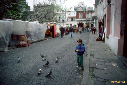
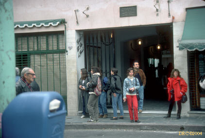
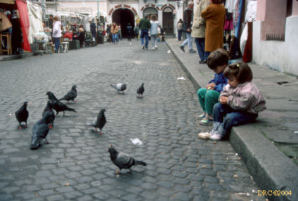
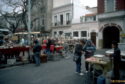
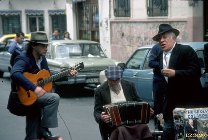
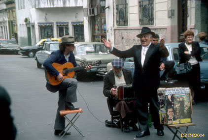
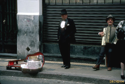
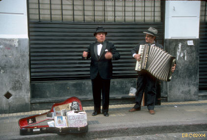
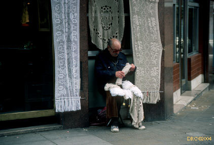
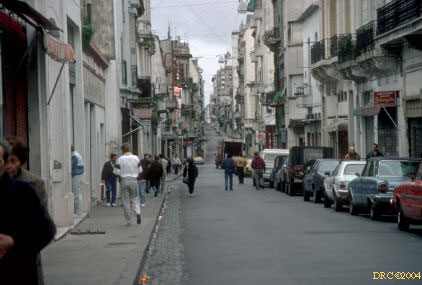
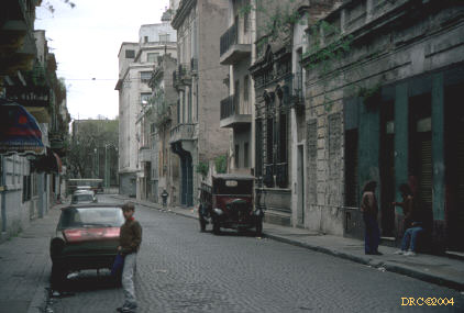
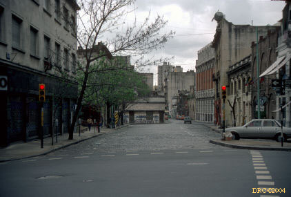
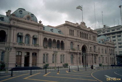
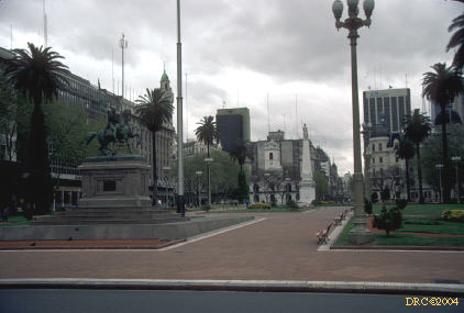
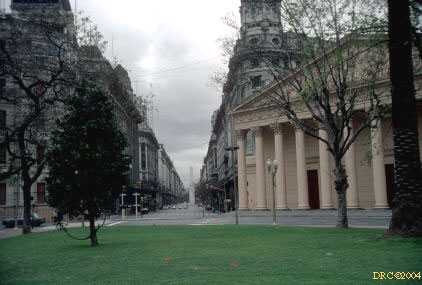
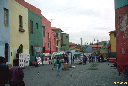
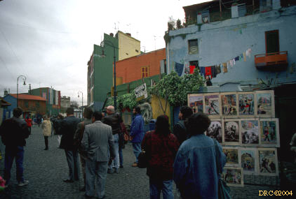
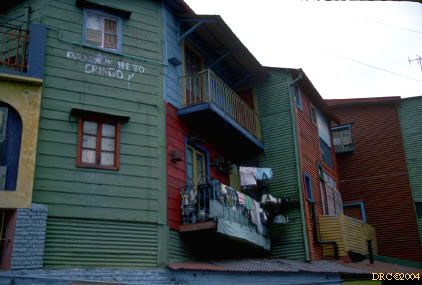
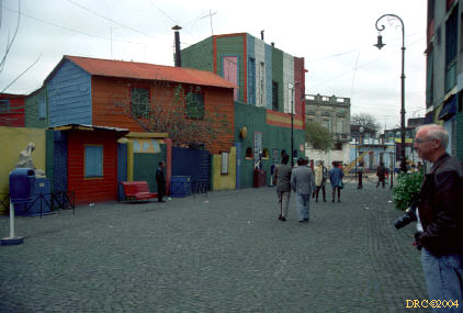
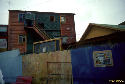
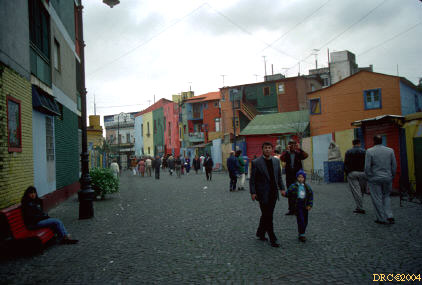
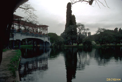
Buenos Aires
Field Trip 2A
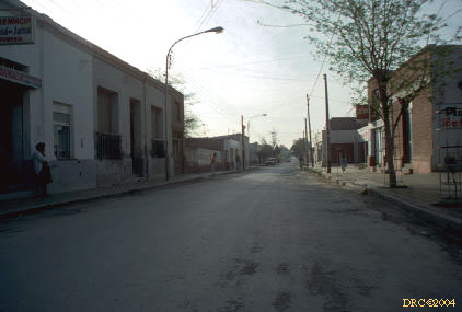
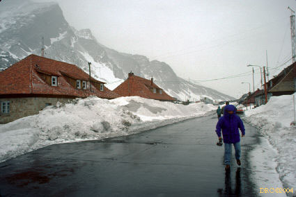
- main street of Jachal
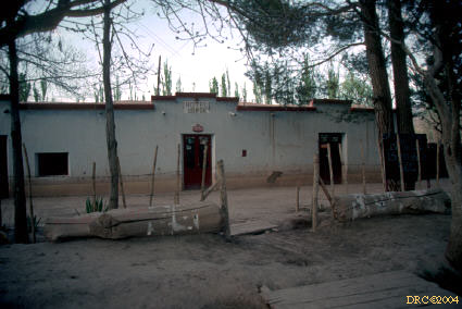
- Plaza Hotel in Jachal, San Juan province, no
heat, no hot water, and I had to share a bed with another fellow
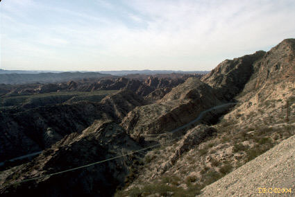
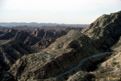
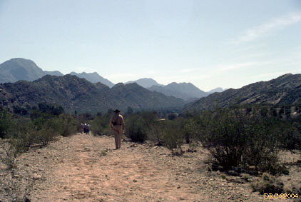
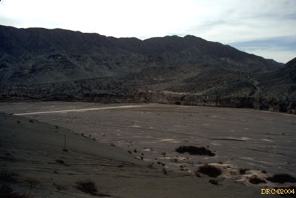
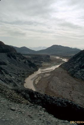
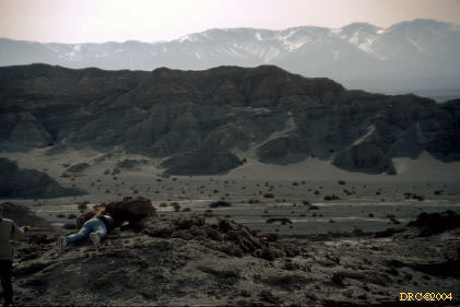
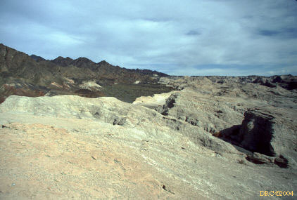
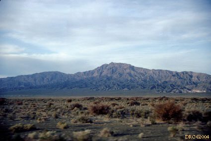
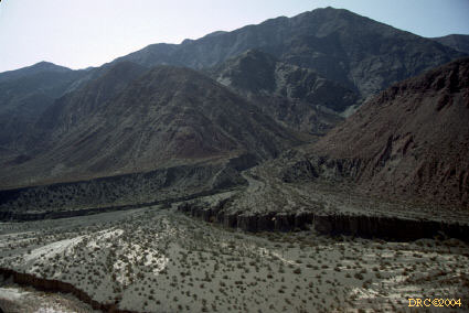
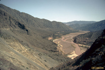
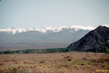
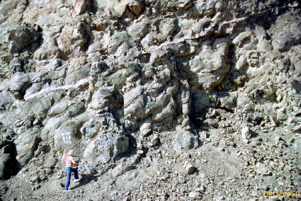
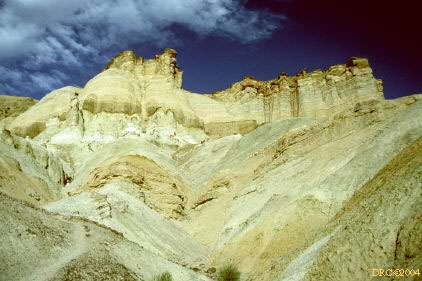
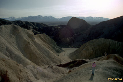
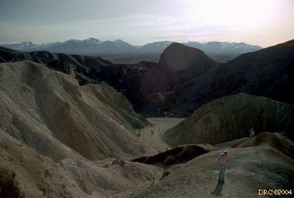
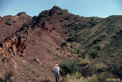
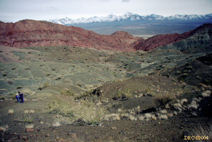
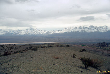
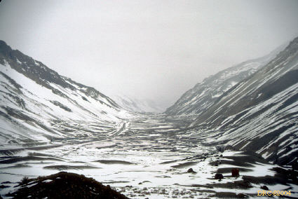
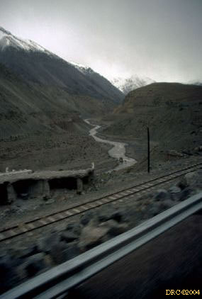
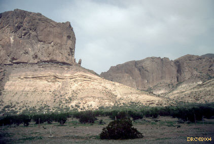
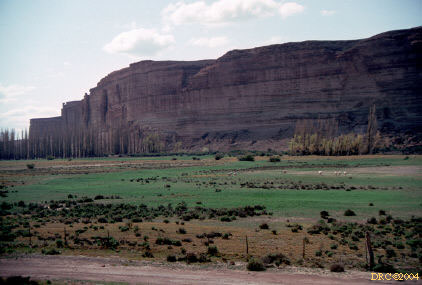
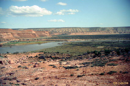
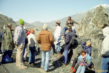
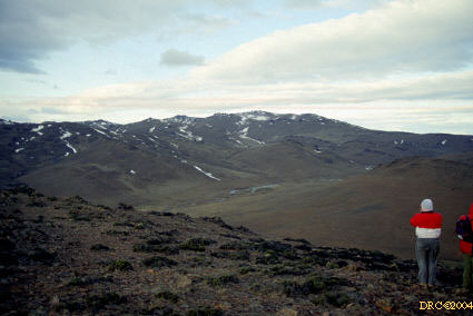
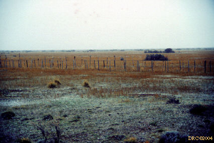
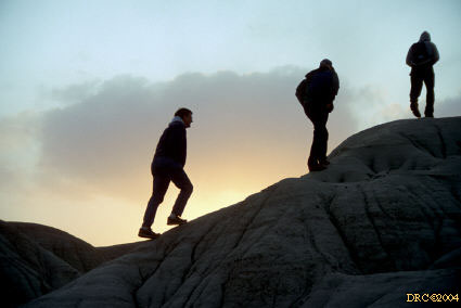
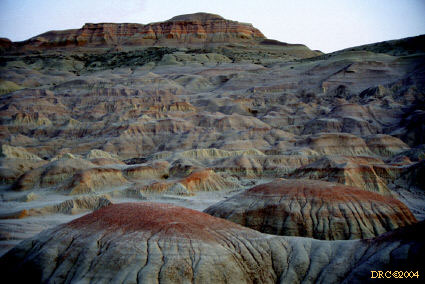
- Stop 1A, Day 1: Cuesto de Huaco, view from eastern limb
of anticline, overlooking Ishigualasto Valley, p. 7
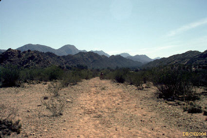
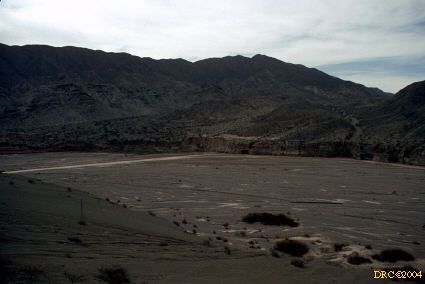
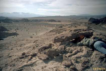
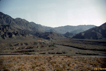
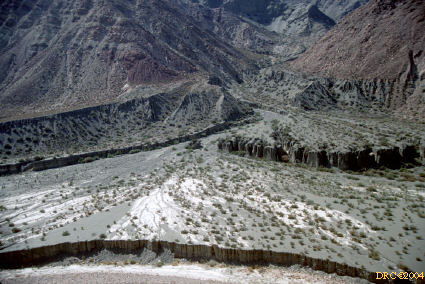
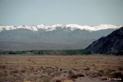
- Stop 1: Cuesta de Huaco, looking southeast in
the morning; Tertiary rocks in the background and Lower Paleozoic rocks in the
foreground
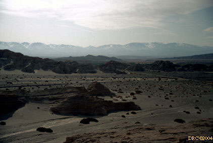
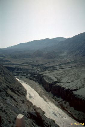
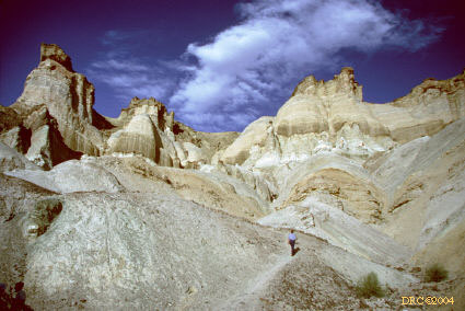
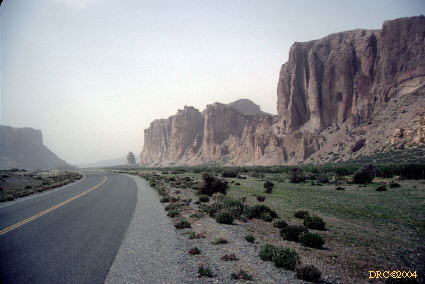
- Cuesto de Huaco, looking north on
the eastern limb of the anticline
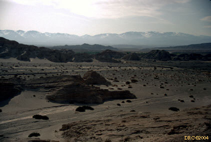
- same stop, looking SSW along the eastern limb of
Cuesta de Huaca anticline; Carboniferous sandstone? cliff
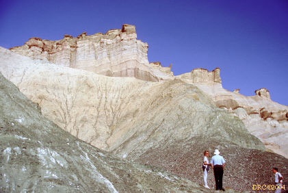
- same area, many memorials along roads where
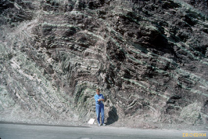
people had died
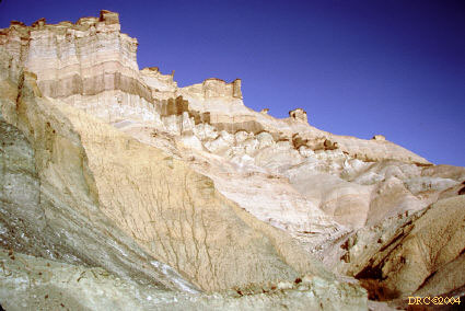
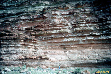
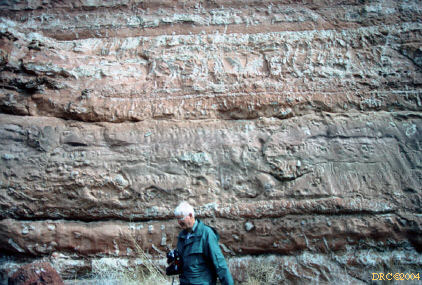
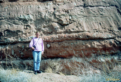
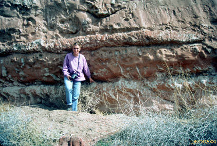
- same stop, contact between San Juan Limestone
(Ordovician) in the lower half and the Guandacol Formation (Namurian) in the
upper half
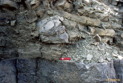
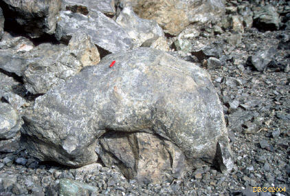
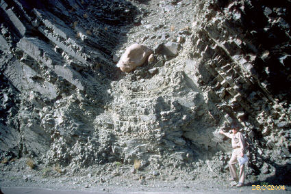
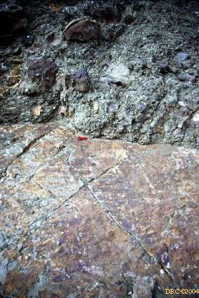
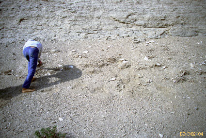
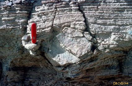
- same contact, note large dropstone
- dropstone in Guandacol Formation
- several dropstones in the Guandacol
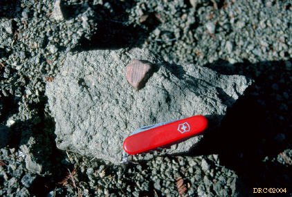
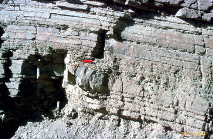
- Stop 2; on way back to Jachal, dropstone in
Guandacol Formation, also Orchestropus trace fossils here
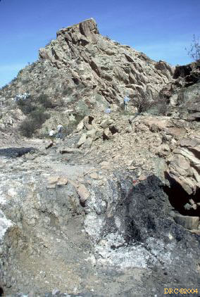
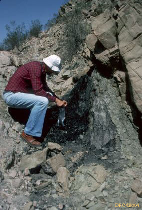
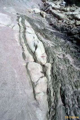
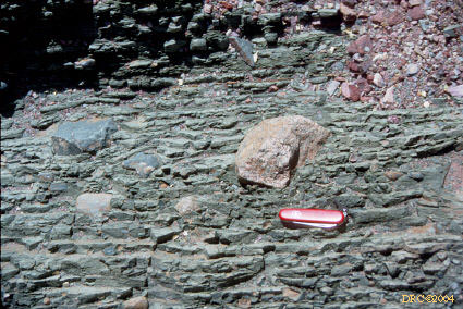
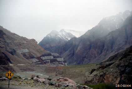
- Stop 3: La Cienaga Mine, lower Tupe Formation (Westphalian
here), unnamed coal at lower right
- Stop 4: eolian sandstone of the Patquia
Formation (Permian), upper member; these are fossil dunes, some of the dips
are part of dune slopes
- eolian dunes of Patquia
Formation, the dunes are at mid-ground, left center
- same stop, mule? rider and eolian facies of
Patquia Formation
- ranch house, on ride back to Jachal
- small ranch, ride back to Jachal
- ride back to Jachal
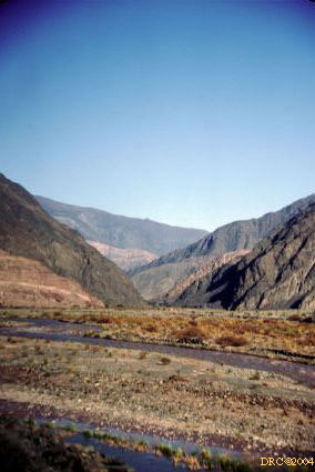
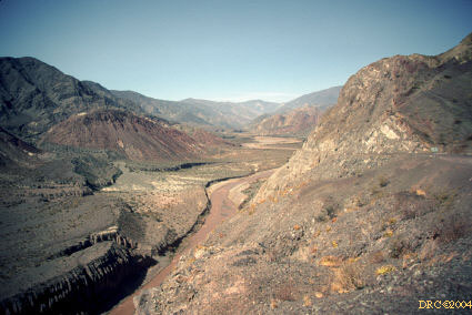
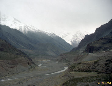
- Jachal River valley
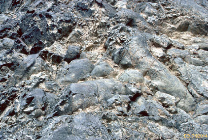
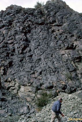
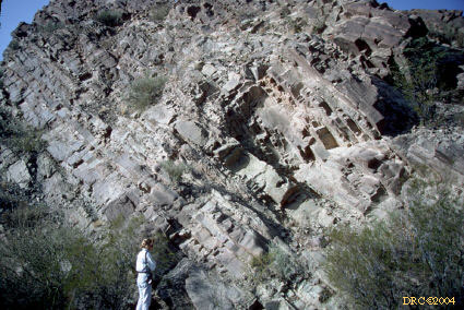
- Stop 5: Cuesto del Viento, Ordovician pillow
lava, Yerba Loca Formation
- same stop, close-up of pillow lava, Yerba Loca
Formation, deep marine sediments
- Cuesta del Viento, Ordovician pillow
lava of Yerba Loca Formation, Ralph Langenheim chasing his hat
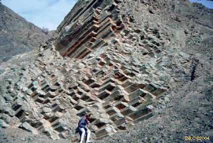
- basaltiform columns in Ordovician lava
- more pillow lava, same stop
- Ordovician basaltiform lava, Lynn
Soreghan for scale
- Cuesta del Viente, Tertiary
volcanoclastics (Rodeo Formation) covering Lower Paleozoic rocks here
- Rodeo Formation, Tertiary
volcanoclastics
- ventifacts on Rodeo surface
- light-colored Rodeo Formation (Tertiary)
unconformably overlying dark Lower Paleozoic rocks exposed on the left
- lighter Rodeo on Lower Paleozoic rocks (dark)
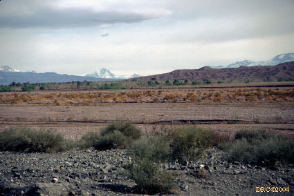
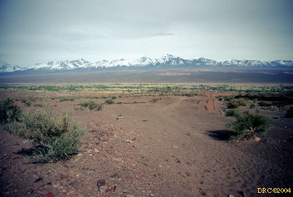
- Andes Cordillera in the background, Grace Ford
taking picture
- Andes in background, Rodeo Formation in
foreground (light colored rocks)
- dark ventifacts scattered on light Rodeo
surface
- ventifacts on surface of Rodeo Formation rocks
in foreground
- Rodeo Formation (white) unconformably overlying
the Ordovician (black) deep marine sediments, a Tertiary piggy-back basin
- white Rodeo Formation unconformably overlying
black Ordovician rocks
- dark ventifacts on light Rodeo surface,
ventifacts from Lower Paleozoics?
- more ventifacts on the Rodeo
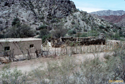
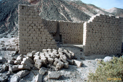
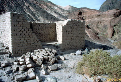
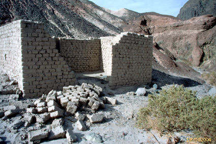
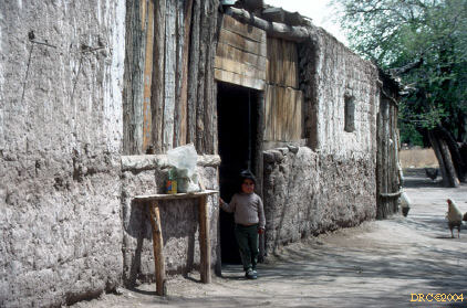
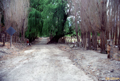
- old adobe building
- old adobe building,
another image
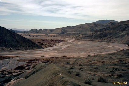
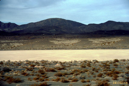
- Barreal Blanco, light area is small dry playa
lake (modern)
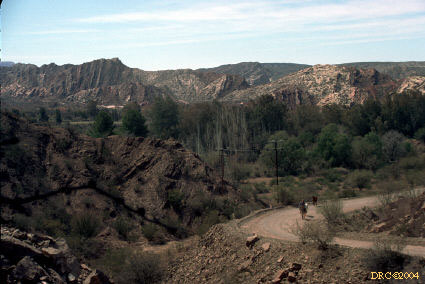
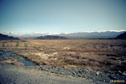
- view from road
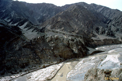
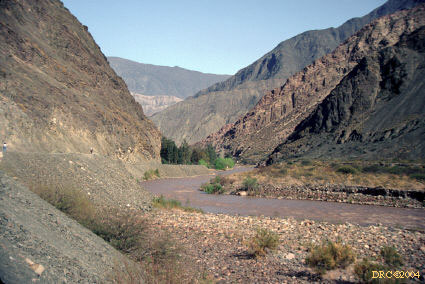
- along San Juan River
- driving along the San Juan River
- Stop 1, Day 2: Late Carboniferous fluvial
sandstones
- driving along the San Juan River
- San Juan River
- along San Juan River, nice alluvial fan from
tributary
- alluvial fan terraces over the San Juan
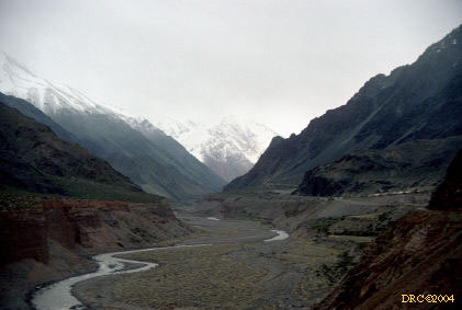
- along the San Juan
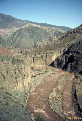
- Stop 2, view of San Juan
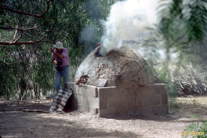
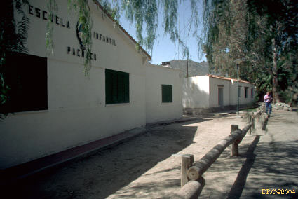
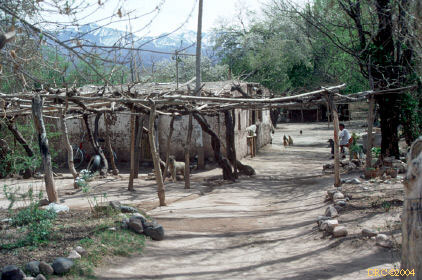
- Pachaco village: typical outdoor bread oven, el horno
- Andes in the background
- Stop 3: El Ratón Formation, continental
conglomerates, Early Carboniferous age
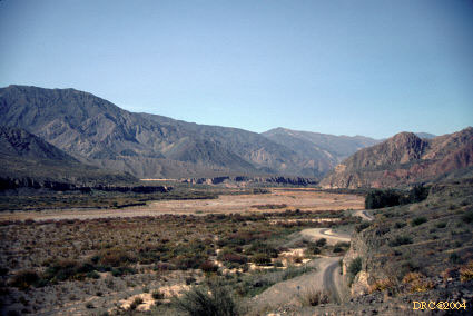
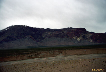
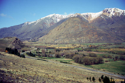
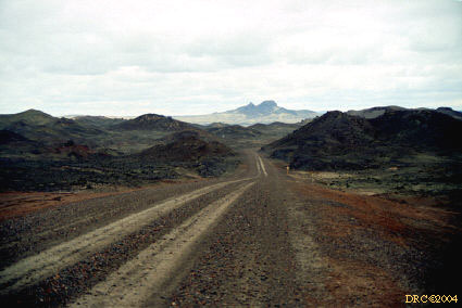
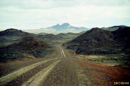
- Andean Cordillera from the road
- Andean Cordillera from the road, we are headed
south
- Andean cordillera
- Andes at a distance
- adobe houses, Andes in back
- another adobe house
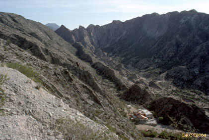
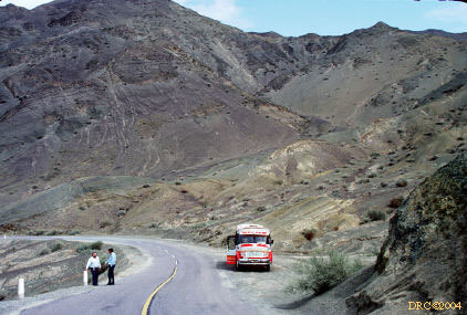
- lunch stop in Calingasta
- Optional stop, Ordovician pillow lavas,
Alcaparrosa Formation, near Los Patos River near Calingasta, p. 15
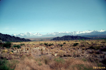
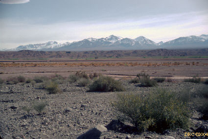
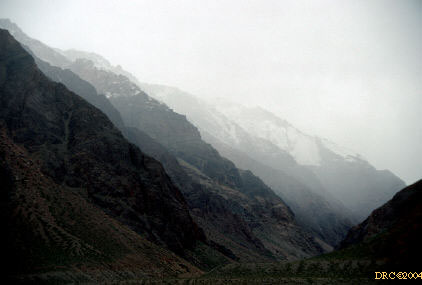
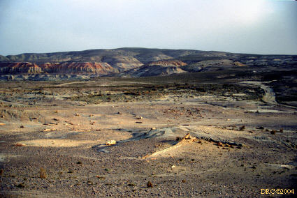
- Aconcagua from a distance (center left)
- Andes
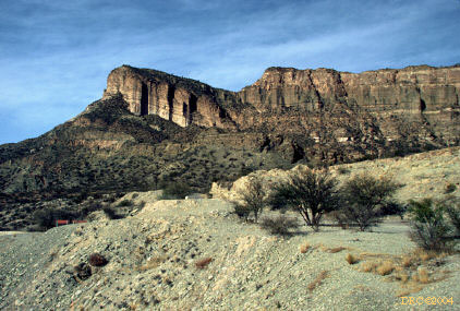
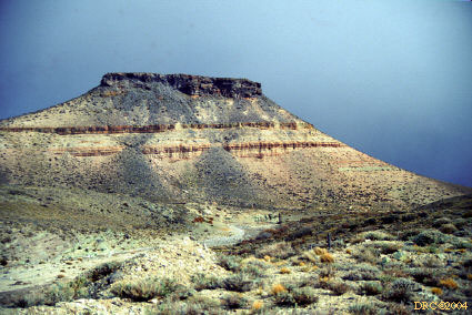
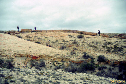
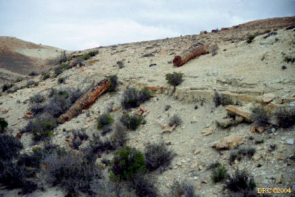
- Stop 4: Cerro el Alcazar, Rio Blanco Group
(Triassic) sandstones and tuffs
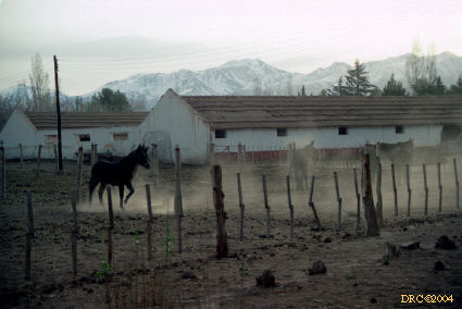
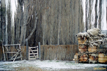
- stables near the hotel, Barreal was a military
town
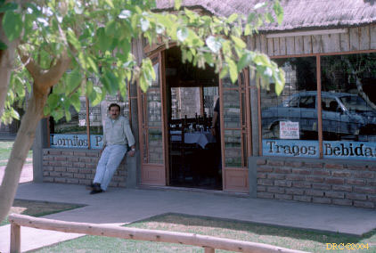
- tavern in Barreal, friendly tavern owner showed
us around, we had a few beers here
- our hotel at Barreal, an old military barracks
- view of Andes to the west, on road heading south
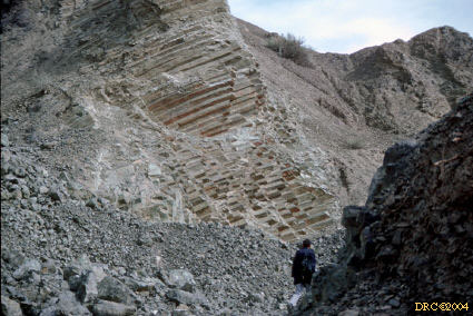
- Stop 1, Day 3: Tres Saltos Formation (Early Permian),
sandstone and conglomerates, Pituil Group on outer and western limb of Sierra
de Barreal anticline
- one of "three jumps" of the Tres
Saltes area
- upper part of Hoyada Verde Formation, up
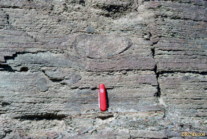
is to the left, glaciomarine deposits, this part is coarsening-upward sequence
- dropstones in the Hoyada Verde Formation, same
stop, p. 16
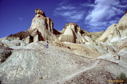
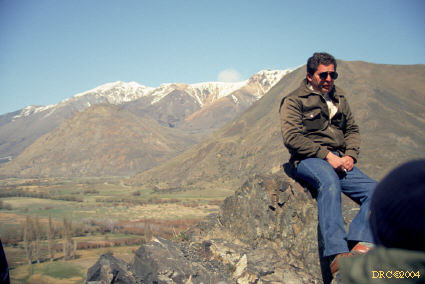
- view from core of anticline toward
west. Red is Early Permian Tres Saltos Formation, Andes Cordillera in
background
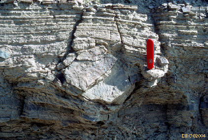
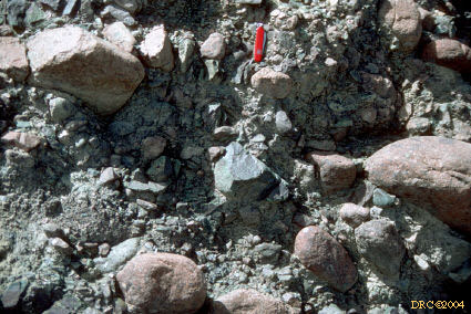
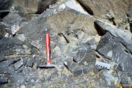
- boulder pavement, this boulder with "nail-head
structures," Hoyada Verde Fm., same stop
- striated (glacial) boulder, same formation, p.
16
- dropstones, same place
- striated cobbles from boulder pavement, same
place
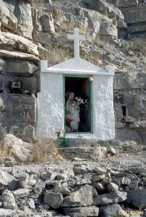
- walking back from Stop 1; this memorial was made
for a mother who died of thirst but whose infant survived by nursing her dying
mother; locals bring water to the memorial
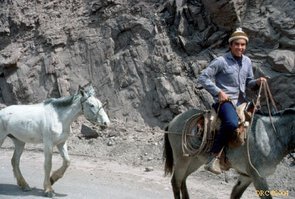
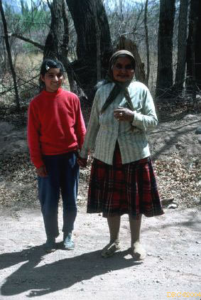
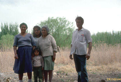
- locals in Barreal
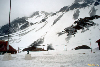
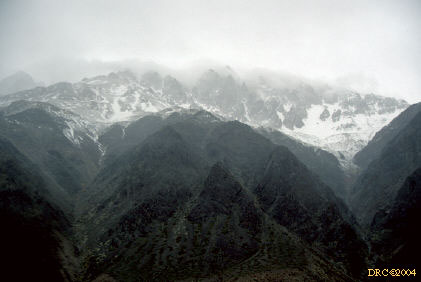
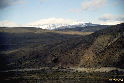
- view from Leoncito Observatory looking west
toward the Andean Cordillera
- Leoncito Observatory
- road to Stop 2 near Leoncito Observatory
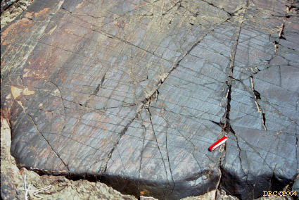
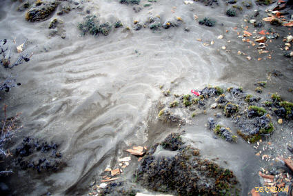
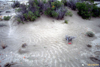
- Stop 2: glacial grooves and striae in Leoncito
Formation, p. 16
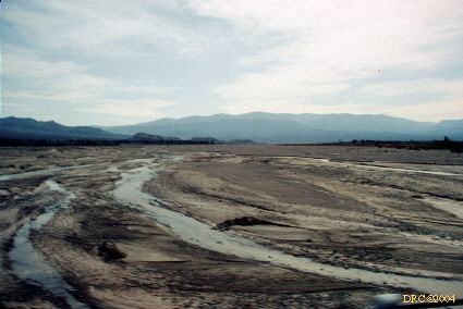
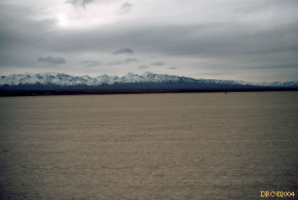
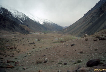
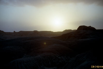
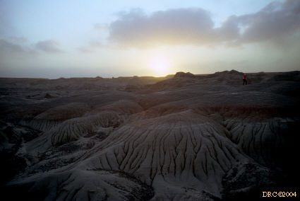
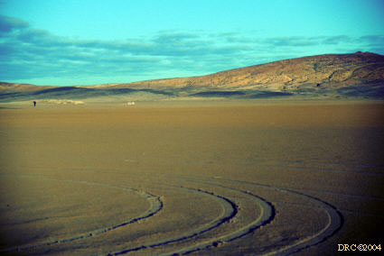
- the road is on a large dry playa lake between
Barreal and Uspallata
- large, dry playa lake, also, our road
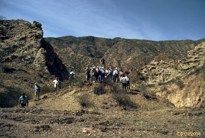
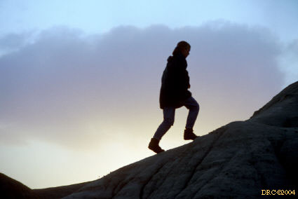
- three geologists on the playa
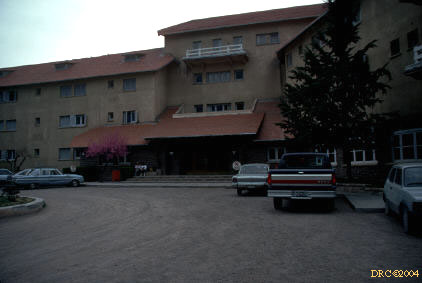
- Hotel at Uspallata, Mendoza Province
- Stop 1, Day 4?: Alto Tupungasto Formation, Upper
Paleozoic turbidites?
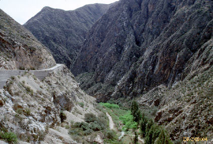
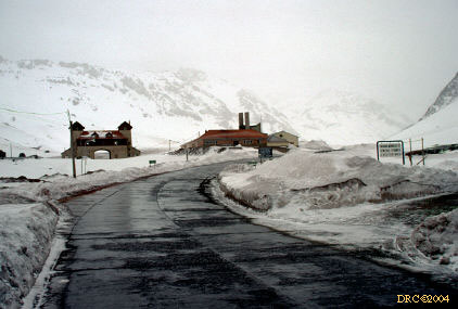
- road to Chilean border, Rio Mendoza valley pass,
border is about 1 kilometer away
- Stop 3: Las Cuevas village on the
Argentine-Chilean border, a mountain pass
- view during return to Mendoza from the mountain
pass
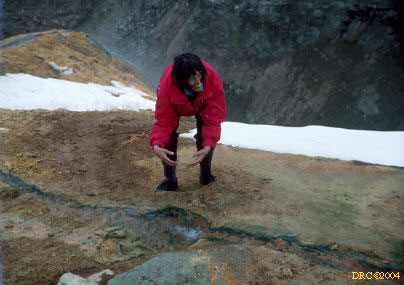
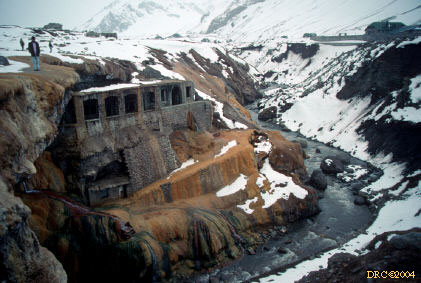
- hot springs on way down mountain, limonitic/aragonitic
travertine deposits from the springs
- hot springs near base of Aconcagua,
water has deposited lots of calcium carbonate and iron
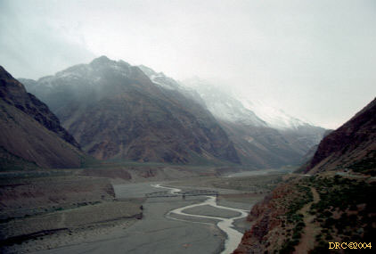
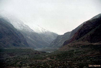
- view from road down the Rio Mendoza valley,
between Aconcagua and Mendoza
- view from same road
- view from Rio Mendoza road
- view from Rio Mendoza valley
- view from Rio Mendoza valley
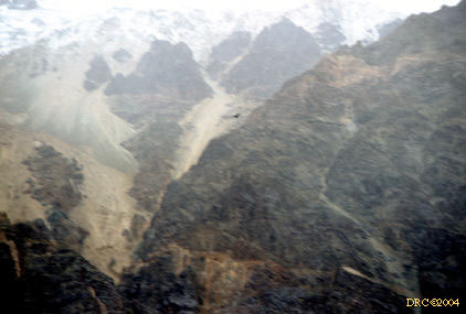
- view from Rio Mendoza valley, condor in upper
center (small dark blur), we are traveling down the valley
- view down Rio Mendoza road, note checker-board
outcrop
- view of road down from mountain pass, road is on
the bench to the left
- view from same road
- looking upstream, Rio Mendoza road is on bench
on right side of valley
- view of valley our road follows, Rio Mendoza
valley
- same road
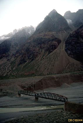
- view of bridge and washed-out road no longer
used
- Rio Mendoza valley, road on right
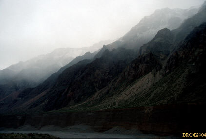
- the valley
- dark side of the valley
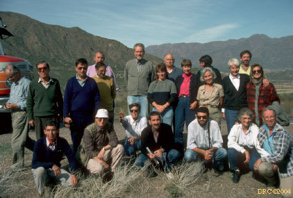
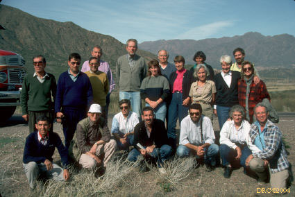
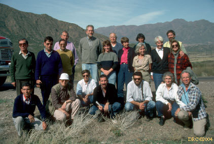
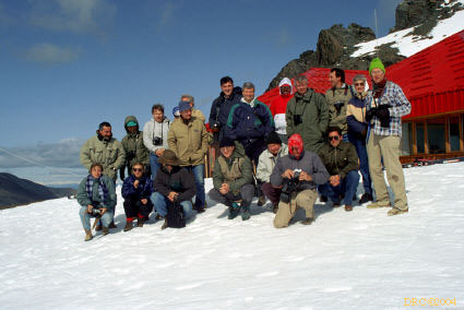
- field trip group, near Mendoza
Patagonia trip, 4B
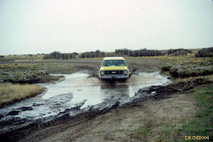
Because our plane couldn't fly due to too much volcanic ash in the air, we
had to take a 36-hour bus ride from Buenos Aires to our field trip area in
Patagonia.
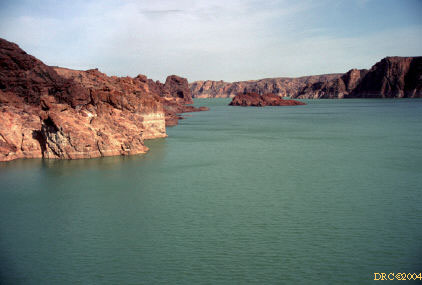
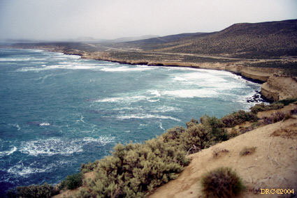
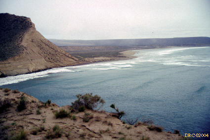
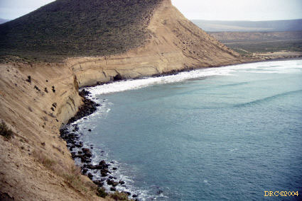
- Stop 1, Day 1: view from Florentino Ameghino Dam,
p. 4
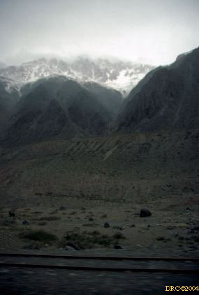
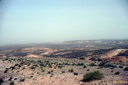
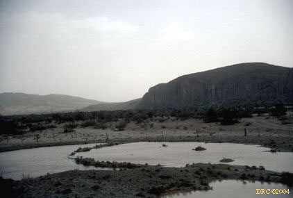
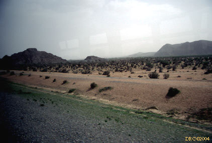
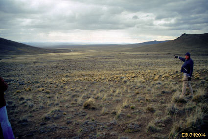
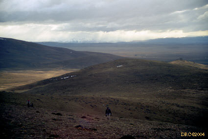
- view while traveling to our next stop
- view while traveling through northern Patagonia
- view from road
- same view
- Jurassic igneous rocks?
- same rocks
- Stop 2: Jurassic ignimbrites, black rock
originally thought to be coal, but is just cooked, p. 4
- Stop 3?: along Chubut River, Jurassic volcanic
complex?
- Stop 4, Chubut Group (middle Late Cretaceous),
p. 4
- Chubut River valley, Mesozoic strata (probably
Chubut Group, middle Late Cretaceous)
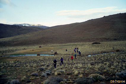
- Stop 5, view from Languiñeo Hill, p. 6
- Tepuel-Genoa Basin, Languiñeo
Hill, sparse marine fossils from Las Salinas Formation (middle Late
Pennsylvanian), p. 6
- Stop 1, Day 2: Los Alerces National Park, from road up
to ski area, near Esquel City
- Los Alerces National Park,
road to ski area, Andes in background, p. 11
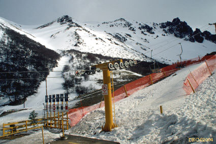
- ski slopes in Patagonian Andes, Jurassic
and Tertiary volcanics, uplifted during Andean orogeny (Miocene), p. 11
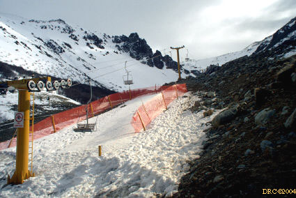
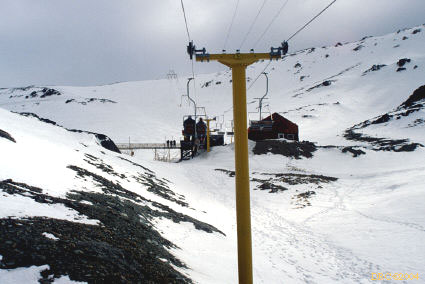
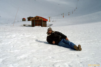
- ski slope and chair lift, late ski season
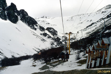
- chair lift
- looking down from chair lift
- getting up to ski area
- looking down slope
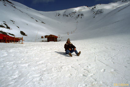
- ski area, me in my new bomber jacket and Andean
knit cap
- me in the ski area
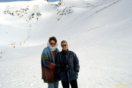
- two geologists in ski area, South African on
left and Rachel Brown on right, graduate student of Andrew Scott
- field trip participants
- looking down slope
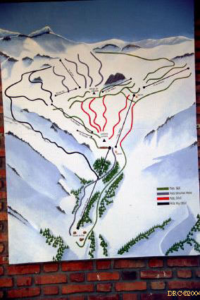
- map of ski slope near Esquel city
- Los Alerces National Park
- at snow line looking down into valley
- view from same park
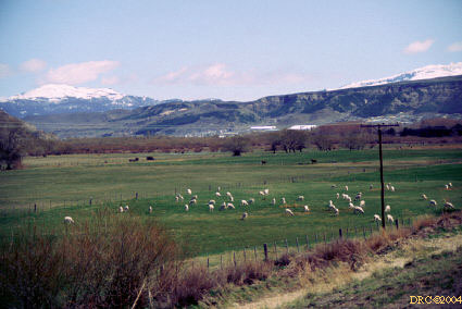
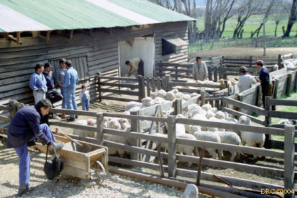
- Stop 3: sheep farm
- sheep farm,
p. 11
- view from railway section, p. 11
- diamictites, Esquel Formation, also Valle Chico
Fm. (Pennsylvanian), equivalent to Las Salinas, p. 11, Fig. 5
- view from the railway section, Arturo ?
- railway section, Esquel Formation, Ruben
Cuneo, leader of the trip in the hat with brim
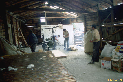
- sheep shearing
- sheep-shearing time
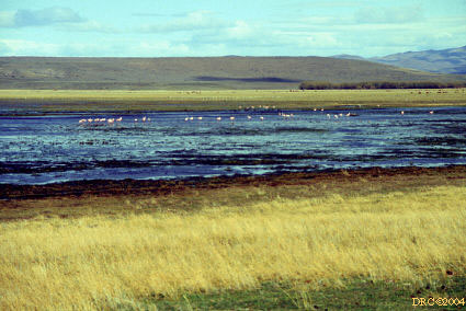
- flamingos, en route from Esquel City to
Gobernador Costa
- flamingos in flight, flushed by Ruben Cuneo
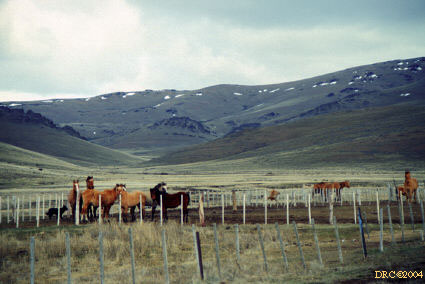
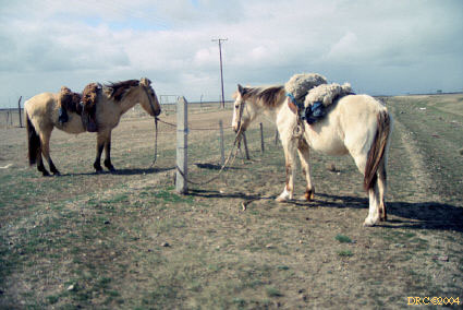
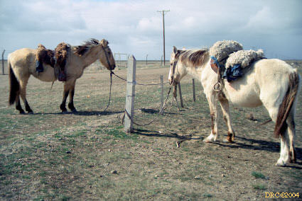
- Stop 4: horses at Puesto Estancia, en route to Gobernador
Costa, p. 13
- Puesto Estancia, poorly exposed Tepuel
Group (Middle to Late Carboniferous), very cold and windy, long, cold walk
- Tepuel Group
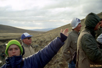
- Hermann Pfefferkorn (Heidelberg and Penn State)
in the blue and white hat, some people were unprepared for cold conditions,
note plastic bag hat
- windiest crest, marine section is in the
mid-ground, strata dip to the right
- view from hill crest, looking west, snow covered
Andes in background, this was our coldest and windiest day, p. 13
- view from hill at Stop 4, very cold
- "El Gales" Welsh hotel in Gobernador
Costa village, note fresh snow on ground; the group stayed in two hotels; heat
only in hallways, no warm water
- attempt to reach Stop 1, Day 3 (p. 24), Rio
Genoa Formation, but unable to ford all streams, water was high and also, ice
covered
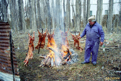
- Estancia La Casilda, lamb asador, snowing
- lamb asador at Estancia La Casilda,
note the windbreak in back, this was a big lunch stop for us. The men ate in
one of the out buildings, biting the meat and cutting it off with a knife in
the Patagonian style; the women had a formal "tea" in the house.
- view from Estancia La Casilda, Chubut Province,
snowing
- Estancia La Casilda, poplar wind break, twig
fence, and bales of sheep skins, it's snowing
- basaltic cap rock over Late Cretaceous Chubut
Formation
- Stop 1, Day 4: Abigarrado Hill, near Sarmeinto,
Tertiary petrified forest, p. 29
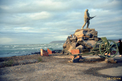
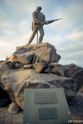
- Comodoro Rivadavia, monument to the heroes of the
Malvinas war
- gaucho horses, en route to Puerto Deseado
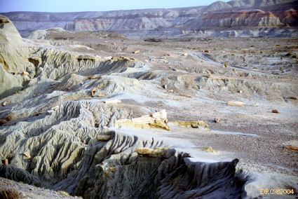
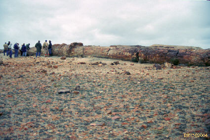
- Stop 2: Petrified Forest National Monument: in
the background you can see "mother and daughter" volcanic necks, these are
Tertiary in age
- volcanic necks, "mother and
daughter"
- thin layer of volcanic ash from recent eruption
of Mt. Hudson
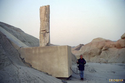
- dug-out vertical stump, silicified, p. 33
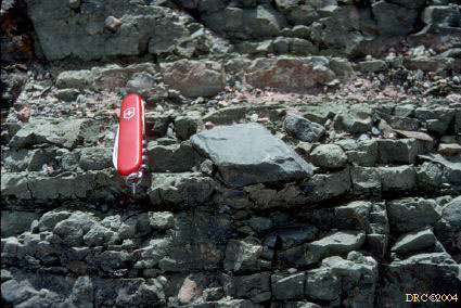
- ripple fans in recent volcanic ash from Mt.
Hudson in Chile, red Swiss Army knife for scale
- windblown volcanic ash, modern, this ash from
Mt. Hudson killed millions of sheep in Patagonia
- drift of volcanic ash
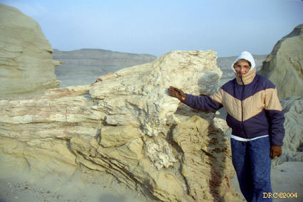
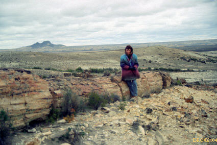
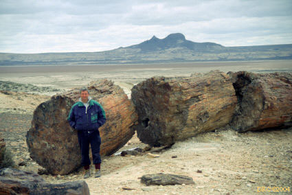
- giant Araucaria log from Jurassic
La Matilde Formation, laid down by volcanic blast, logs up to 60m long!
- Araucarian silicified logs, logs are resistant
to erosion and consequently follow the shape of the eroded hill
- Araucarian logs, geologist from South Africa
for scale, volcanic necks in background
- Araucarian log, Jurassic
- giant, silicified Araucaria log,
volcanic necks in background, Andrew Scott for scale, these volcanoes were
probably the cause of the killing and preservation of the fossil logs
- Araucaria log, Tom Taylor(?) for scale
- fossil log, snow and volcanic ash
- Rachel Brown and Shirley Langenheim at
preservation sign
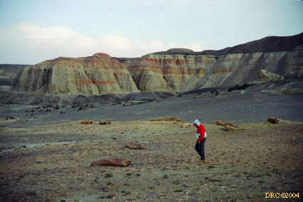
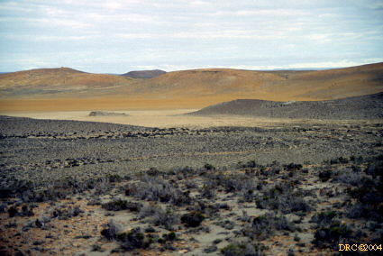
- Stop 3: Mesozoic strata in yellow, Permian in
gray, recent playa is beige
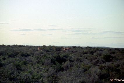
- guanácos en route to penguin rookery
- at least three guanácos (hwa-NAH-cos), picture
taken out of bus window while moving, we also saw rheas (ñandus)
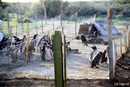
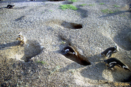
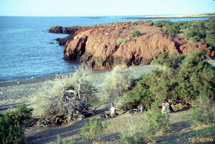
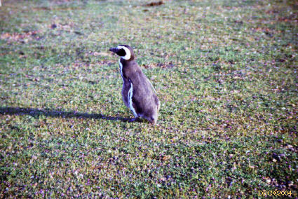
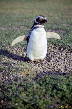
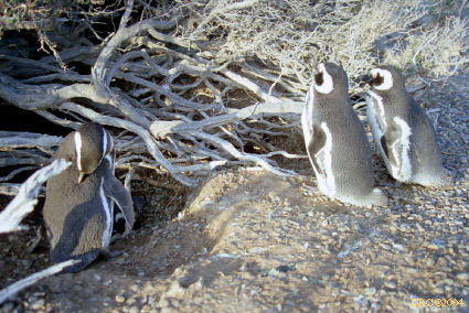
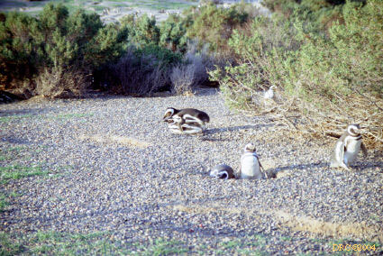
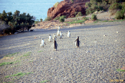
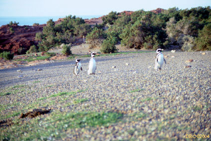
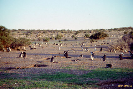
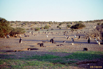
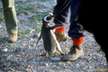
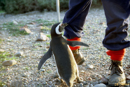
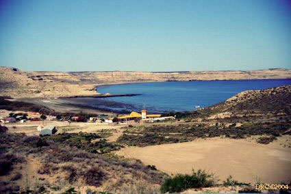
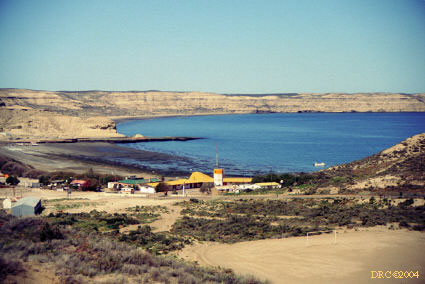
Punta Tombo Penguin Reservation
Puerto Piramide whale watching
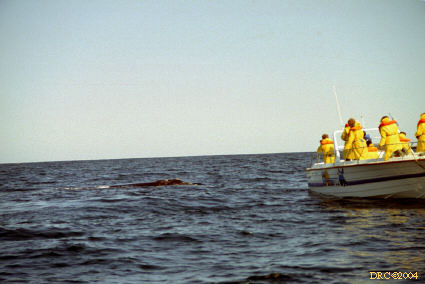
- Stop 1 [extended]: Puerto Piramide, whale
watching, our bus driver and his pretty daughter, p. 45
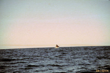
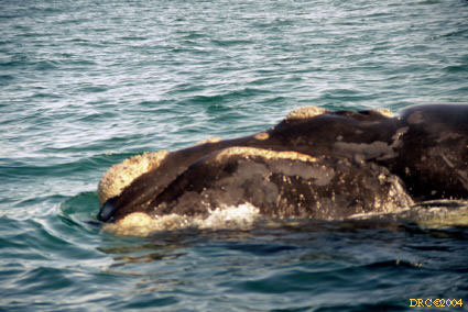
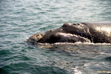
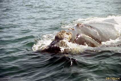
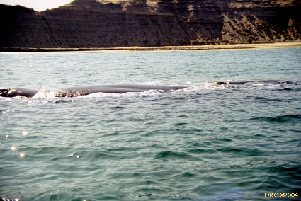
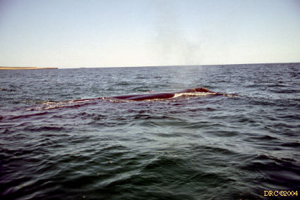
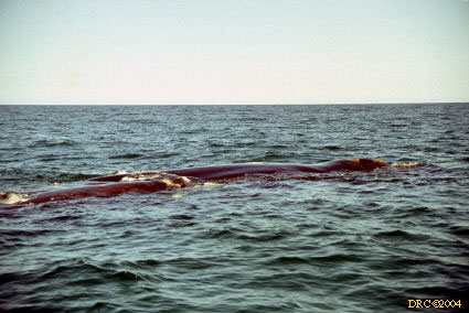
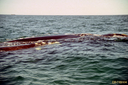
- Southern Right Whale, whale leaping out of
water, all of these whales are Southern Right Whales
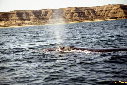
- whale blowing
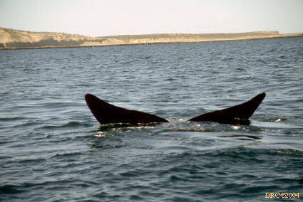
- whale tail
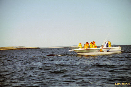
- whale watching
- dark spot is whale
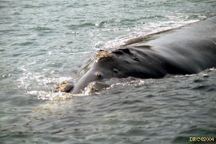
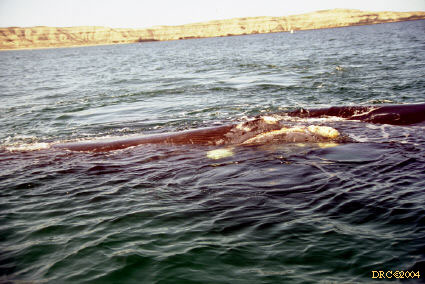
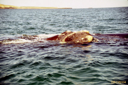
- rough, knobby head of right whale
- close-up of right whale
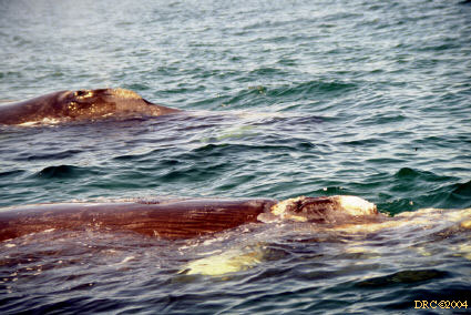
- close-up of Southern Right Whale
- another close-up
- yet another close-up
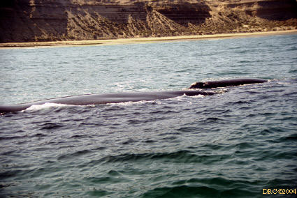
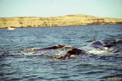
- whales
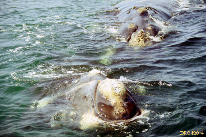
- mother and baby whales
- close-up of mother and baby
- mother whale
- whales
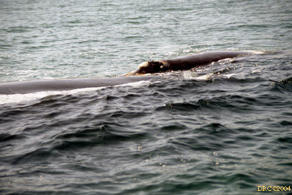
- whale blowing
- whales
- mother and baby
- whale
- mother and baby
- mother and baby whale
- mother and baby
- mother and baby up close
- mother and baby whale
- Stop 1 extended, we ate lunch here
- Stop 1, extended: Puerto Piramide, bay where
whales swim, p. 45
- same view
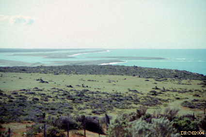
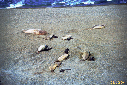
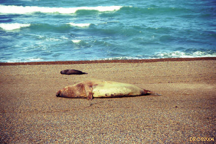
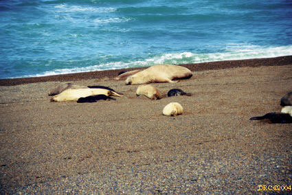
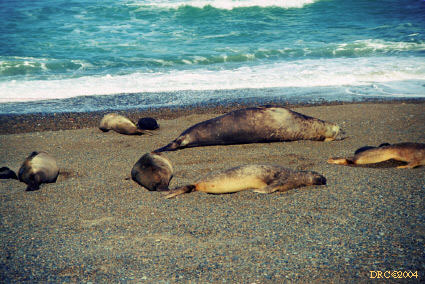
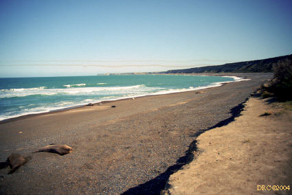
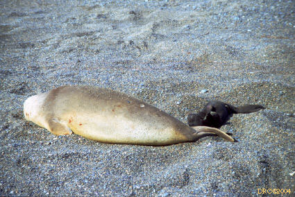
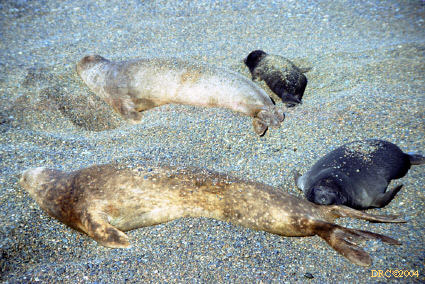
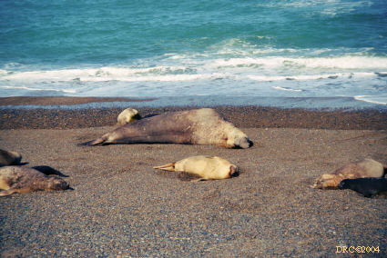
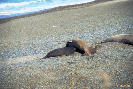
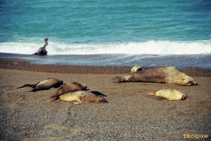
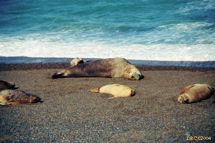
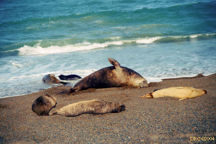
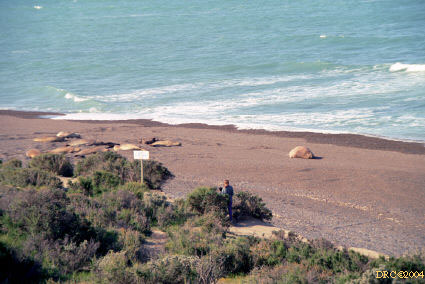
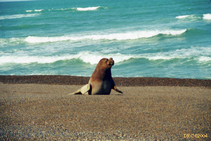
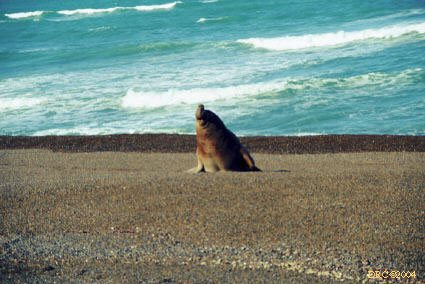
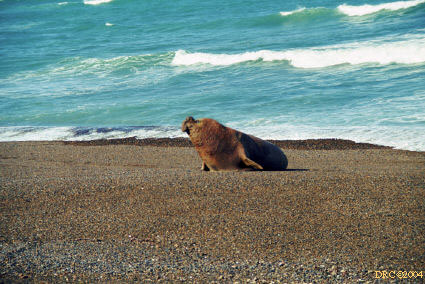
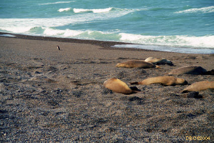
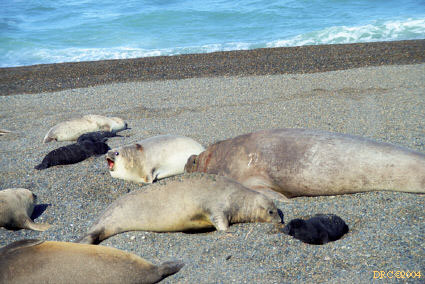
Elephant Seal Reservation
Argentina glaciation, [these slides archived in Geology binder]
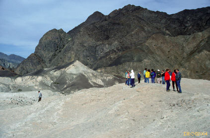
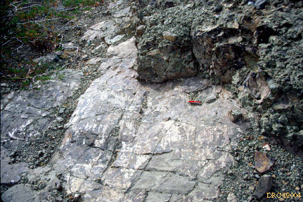
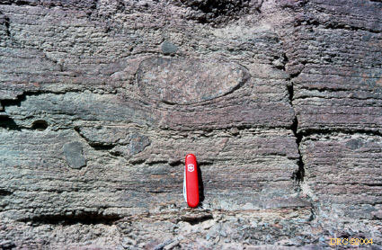
- Stop 1: dropstones, Hoyada Verde Formation, p.
16
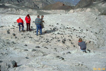
- Stop 1: striated cobbles from boulder pavement,
Hoyada Verde Formation, p. 16, Argentina
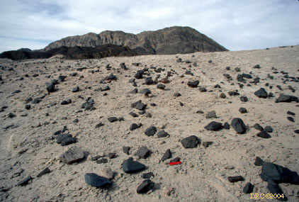
- Stop 1: striated boulder pavement with
nailhead
structures, Hoyada Verde Formation
- Stop 2: back to Jachal, dropstone in Guandacol
Formation, Namurian, Argentina
- Stop 2: back to Jachal, dropstone in Guandacol
Formation, Namurian
- Stop 2: back to Jachal, dropstones in Guandacol
Formation, Namurian
Return to Parent page
![Stop 1 [extended]: Puerto Piramide](arg261c.jpg)