San Salvador Island, Bahamas
1980, 1982, 1983, ca 1987 and 1990
by Don Chesnut ©2005
I accompanied
Dr. Frank Ettersohn along with his classes to study the carbonate
environments of San Salvador Island, the Bahamas (Google Map).
The following are descriptions and links to photographs while I was exploring the island. Or you may just want to view the photographs in the thumbnail directory (no maps or
descriptions).
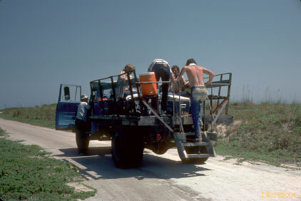
Getting there
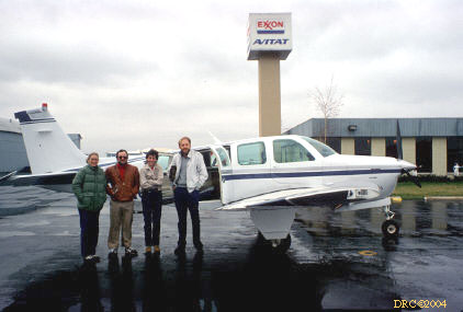
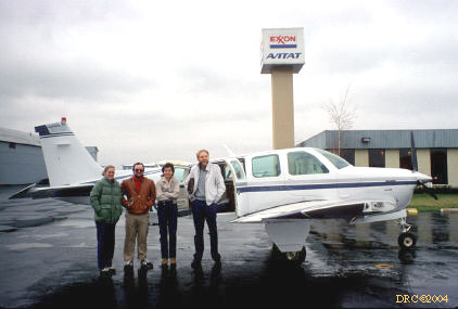
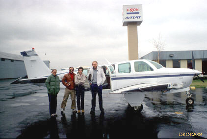
- Harry Kreuger's Beechcraft, we flew from
Lexington to Ft. Lauderdale
- same view, cold, rainy, windy weather
- same view
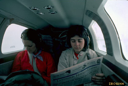
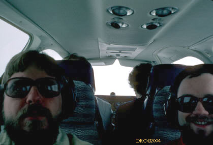
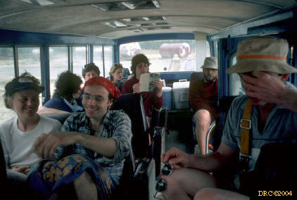
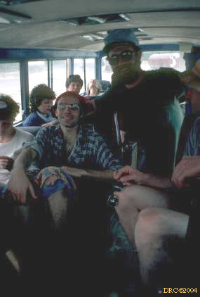
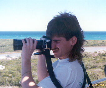
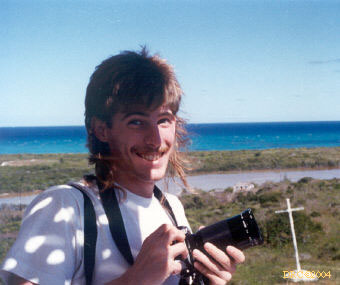
- inside Harry's plane
- same, I'm holding the camera to take our picture
- getting on a Red Airlines Beechcraft at Fort
Lauderville to fly to San Salvador Island, Bahamas
- getting on the plane
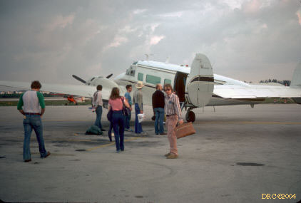
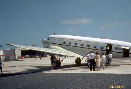
- boarding the DC-3 in Ft. Lauderdale to fly to
San Salvador Island
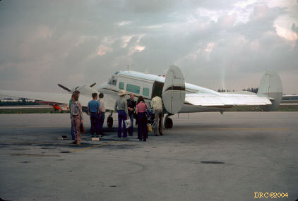
- DC-3
- same view
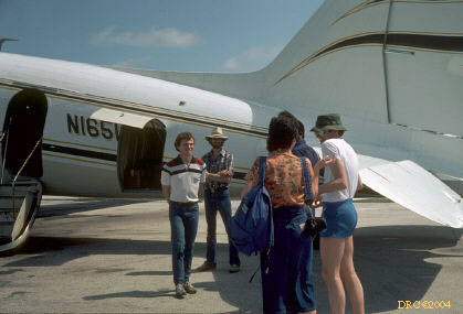
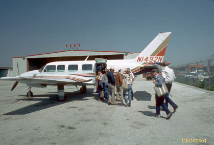
- getting on one of Red's Airlines' planes in Ft.
Lauderdale
- same view
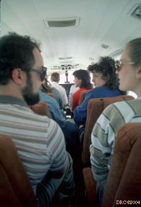
- onboard one of Red's smaller planes
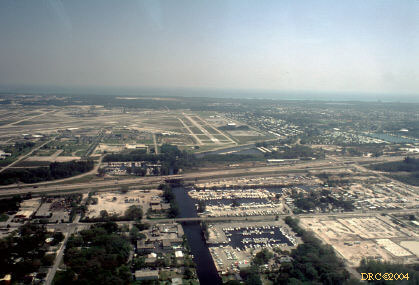
- view of Ft. Lauderdale airport after takeoff
- beach at Ft. Lauderdale, heading east
- over the Florida Straits
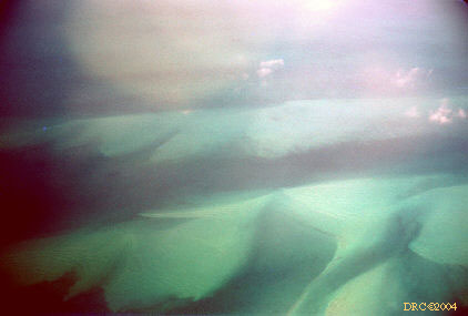
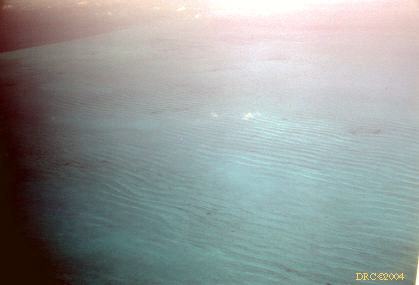
- looking down through shallow water at underwater
carbonate sand dunes, Bahamas Platform
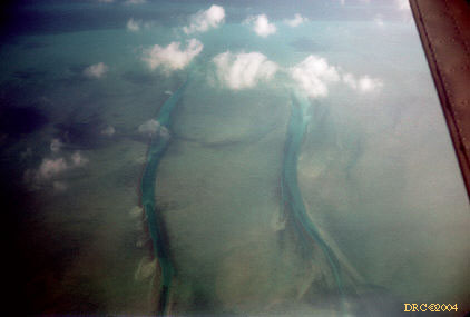
- underwater (subaqueous) tidal or storm channels
cutting through a subaqueous carbonate sand bar, Bahamas Platform
- subaqueous channels and extensive deposit of
carbonate sand, all under water
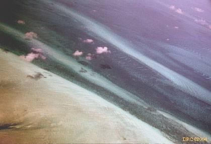
- tidal channel cutting across carbonate sand
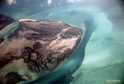
shoals, darker patches are islands (i.e. subaerial)
- tidal channel and tidal channel mouthbar
adjacent to low island, Bahamas Platform
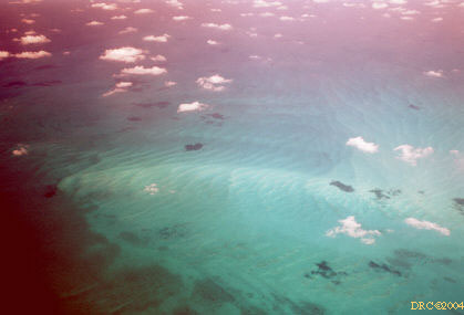
- reefs and patch reefs and surrounding light
carbonate sand, all subaqueous
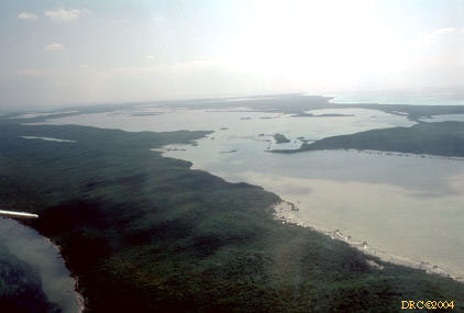
- island and tidal channel, through the clouds
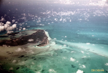
- island at left, shallow sea with carbonate sand,
Bahamas Platform
- carbonate sand shoals, subaqueous
- underwater, parallel dunes, carbonate sand,
Bahamas Platform
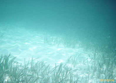
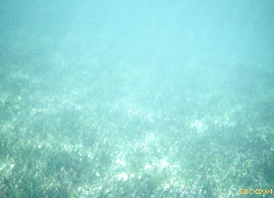
- subaqueous dunes and Thalassia grass
flats
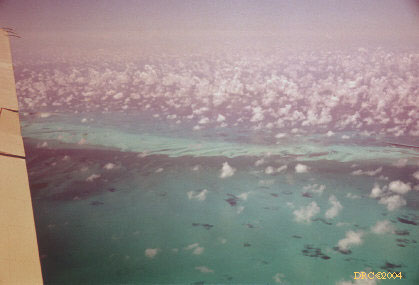
- white sand shoals of the Bahamas Platform
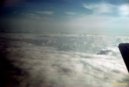
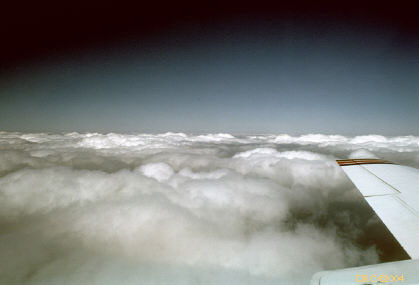
- just above cloud layer
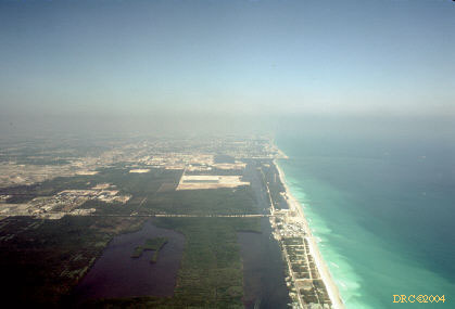
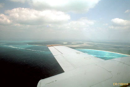
- approaching San Salvador Island
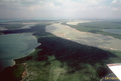
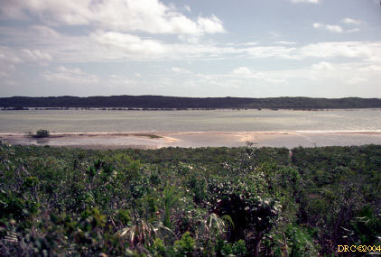
- Riding Rock Point and Bonefish Bay
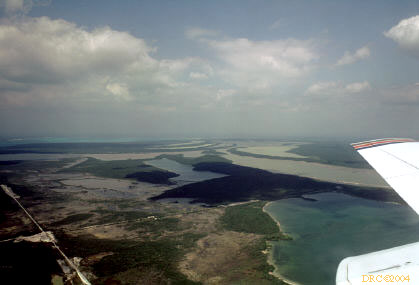
- lakes in northern part of island, Northwest Arm
Lake, Flamingo Lake and Little Lake, plane over Cockburn Town
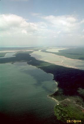
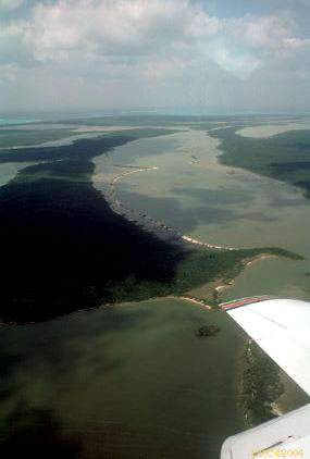
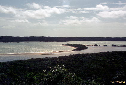
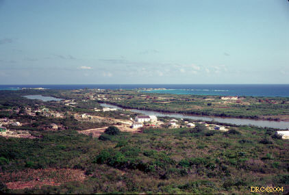
- Little Lake and Great Lake (northern part of
Great Lake is also known as Long Lake)
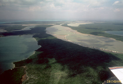
- same lakes, another image
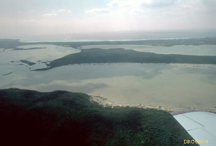
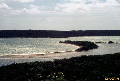
- Long Lake
- same lake
- triangular land separates Little Lake (in
background) from Long Lake, looking towards Cockburn Town
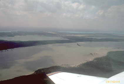
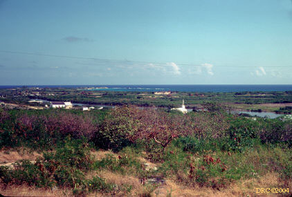
- looking south, Six Pack Pond on extreme left,
northern and southern part of Great Lake in middle
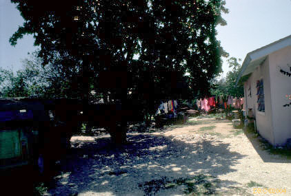
Research Station
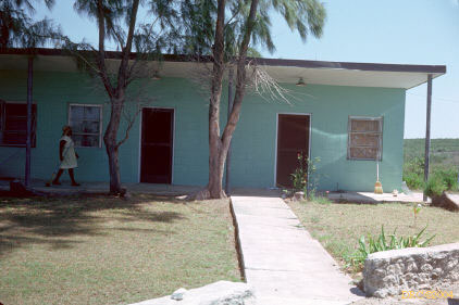
The Gerace Research Station (Google Map) used to be called the CCFL, but was later named after Don Gerace, the long-time head of the research center.
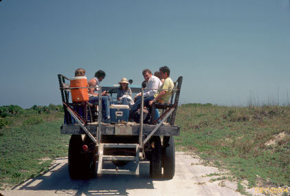
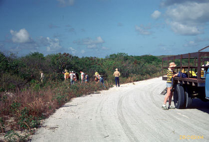
Transportation
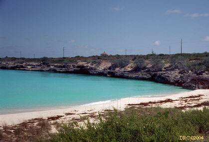
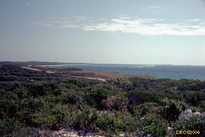
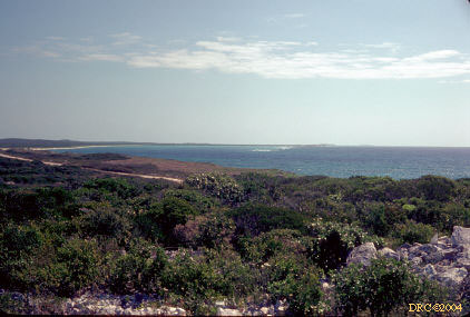
Grahams Harbour and North Point
North Point and Grahams Harbour (Google Map) are across the road from the research center.
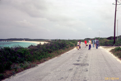
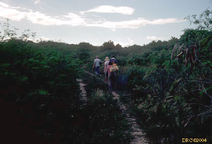
- walking from Research Station to initial
snorkeling site at Grahams Harbour
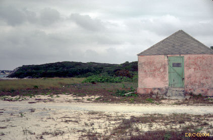
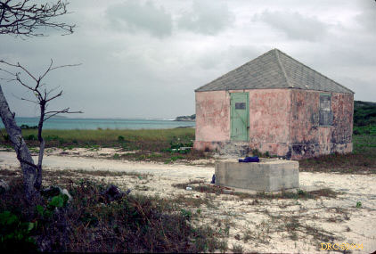
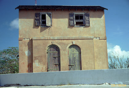
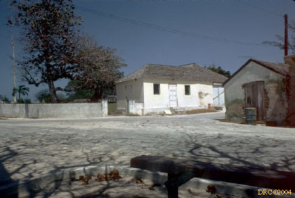
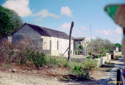
- abandoned building near first dive
- same building
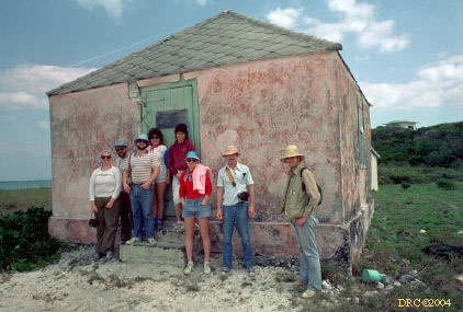
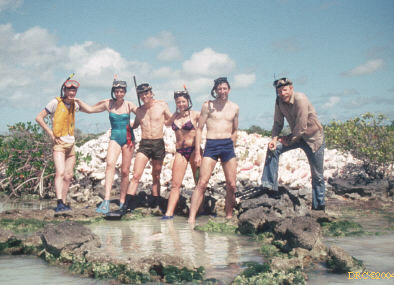
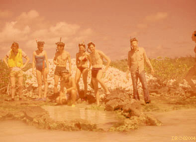
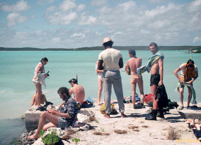
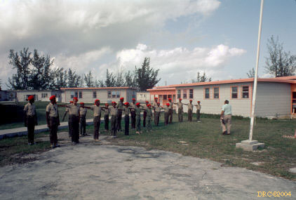
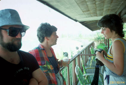
- group picture at empty building near Grahams
Harbour, Frank Ettensohn on right
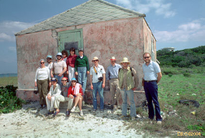
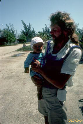
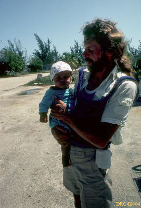
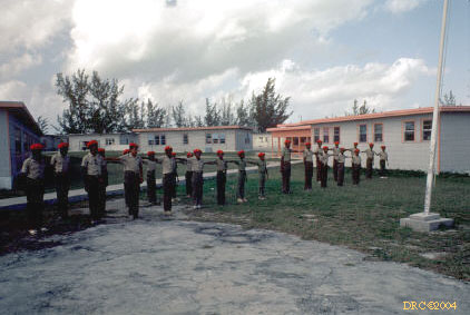
- another group picture, Harry Kreuger is on right
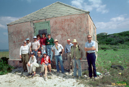
- same group
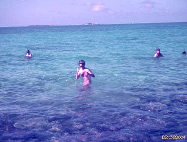
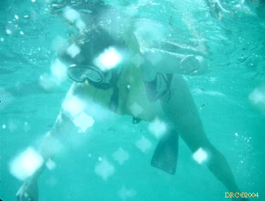
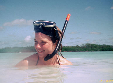
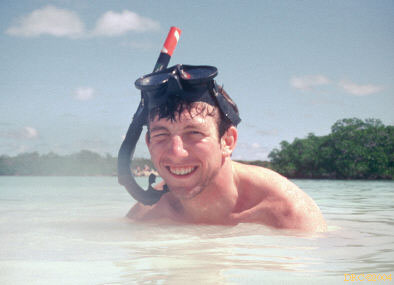
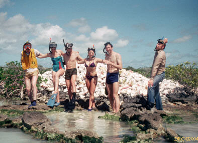
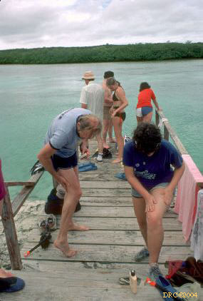
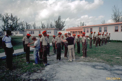
- gearing up for first snorkeling stop; many have
never snorkeled
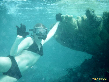
- first snorkel experience at Grahams Harbour
- in the water, same place
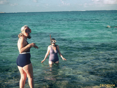
- Beth Ettensohn and Beth's mother, same place
- diving spot, Graham Harbour?
- Anne, same place
- Anne, same view
- Anne, same view
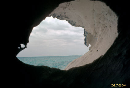
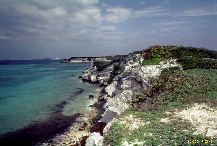
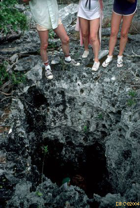
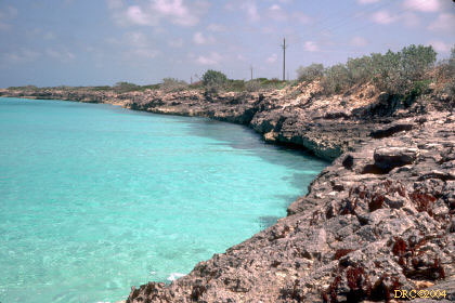
- rock exposure on North Point and Grahams Harbour
- same place, small cave
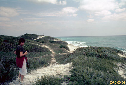
- trail on North Point, note lack of trees, only
scrub, Ann Shreiber
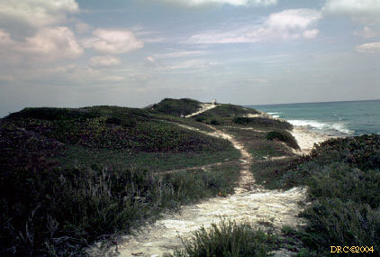
- top of North Point
- North Point, Rice Bay on the right
- Grahams Harbour side (leeward side) of North
Point, looking north, note smaller waves
- Cut Cay and artificial cut across North Point
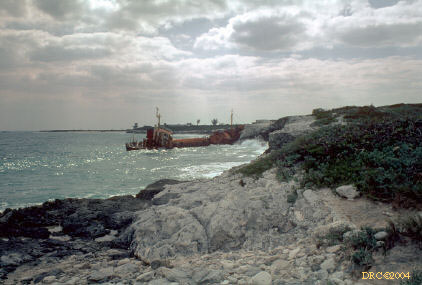
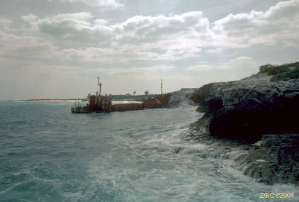
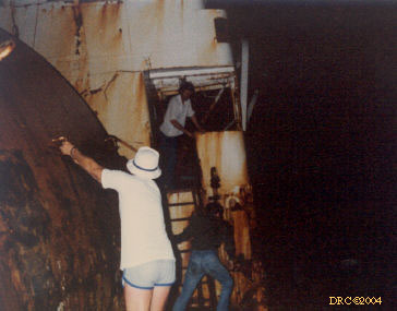
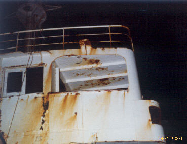
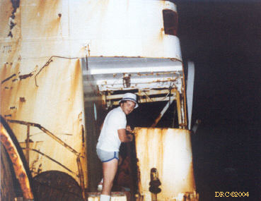
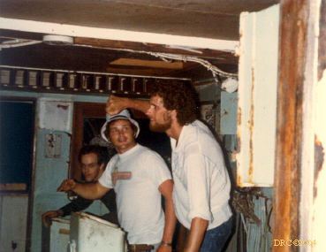
- old shipwreck at North Point and Rice Bay
- another view of shipwreck
- shipwreck at North Point
- shipwreck at North Point
- shipwreck at North Point
- shipwreck at North Point
- shipwreck at North Point
- shipwreck at North Point
- shipwreck at North Point, Gene Parker
captain
- shipwreck at North Point
- shipwreck at North Point
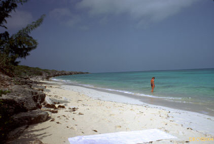
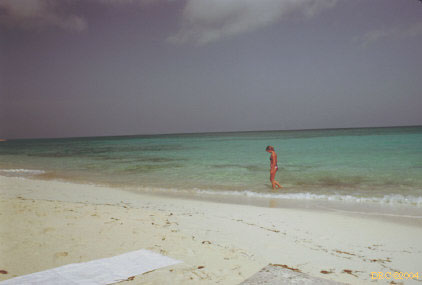
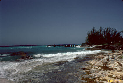
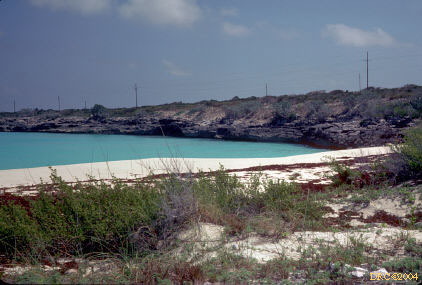
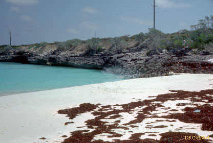
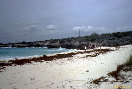
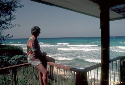
- beach at Graham Harbour, across from CCFL
research station, unknown person
- same view, very peaceful water, we did a night
dive here one night (no photos though)
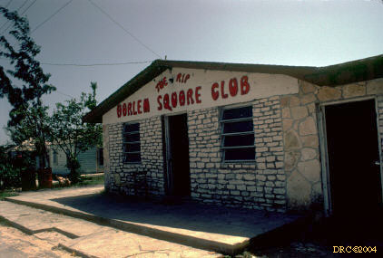
Cockburn Town (pronounced Coeburn Town)
Inland lakes near Cockburn Town
This lake and pier (Google Map) are located just east of Cockburn Town.
Cockburn Town Fossil Reef
Cockburn Town and the Cockburn Town Reef (Google Map) are located along the west-central part of the island.
- Cockburn Town dock?
- view from Cockburn Town
- same view
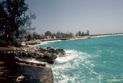
- rough surf at Cockburn Town fossil reef, north
of dock
- rough surf, same place
- same place
- same place, looking opposite direction, south
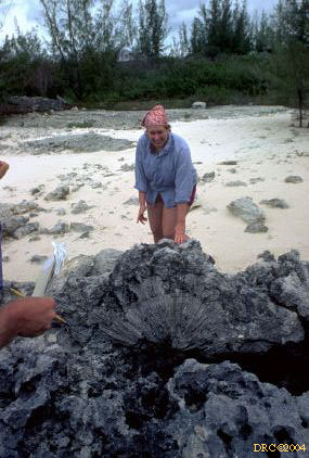
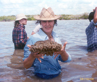
- Martina and sponge "feather" in her cap
- Cockburn Town fossil reef??
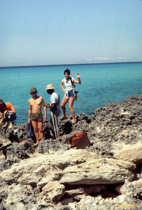
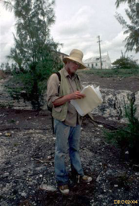
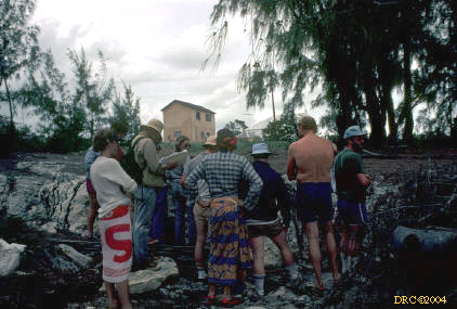
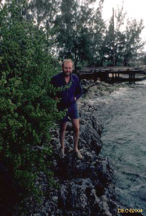
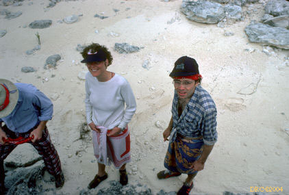
- Frank Ettensohn at Cockburn Town boat ramp
- Frank telling us what we're going to do
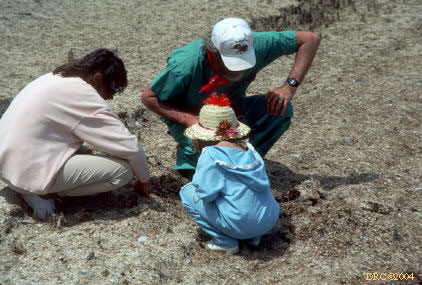
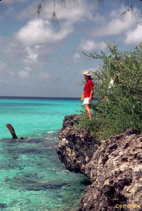
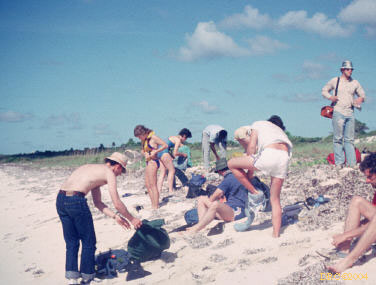
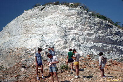
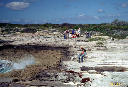
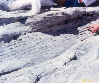
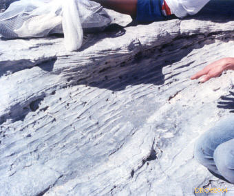
- Cockburn Town fossil reef
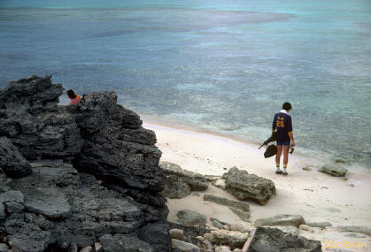
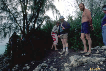
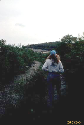
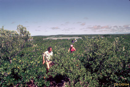
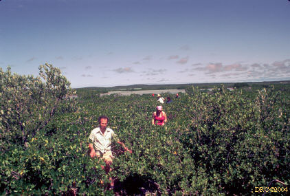
- walking through brush to get to fossil reef
- Joe at edge of outcrop
- Harry negotiation narrow part of path
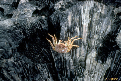
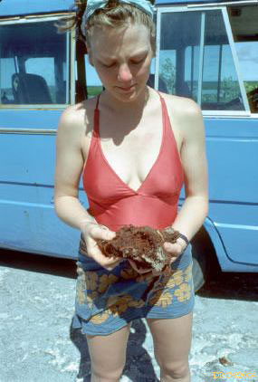
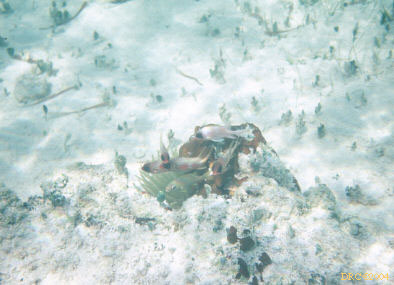
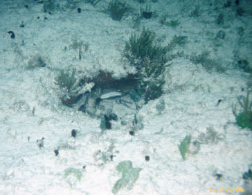
- crab (dead) and fossil coral, same place, staged
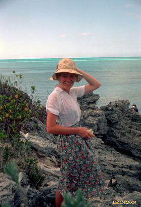
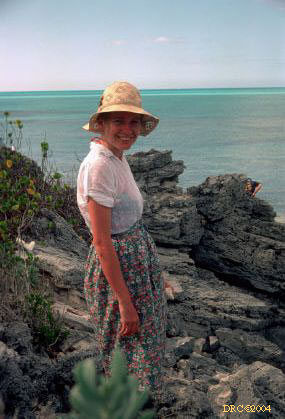
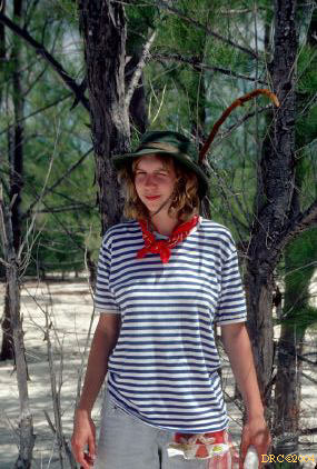
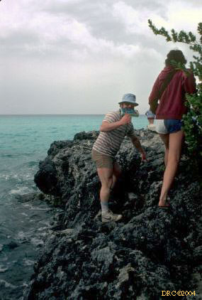
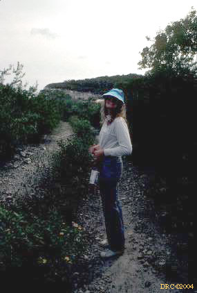
- Ann Shreiber at fossil reef
- same view
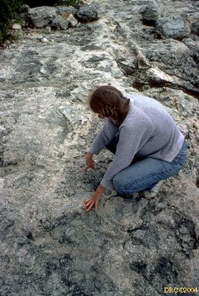
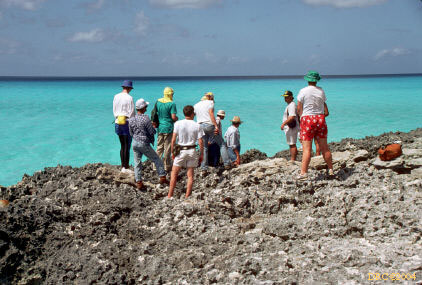
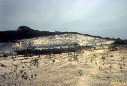
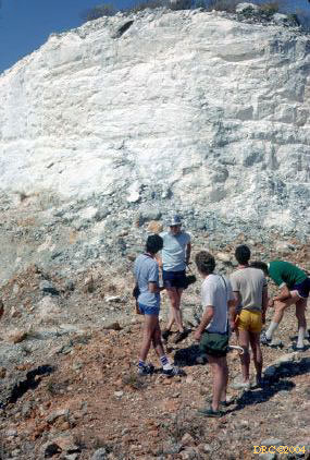
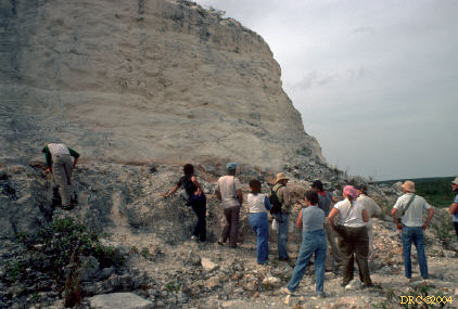
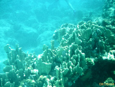
- outcrop of Cockburn Town fossil reef
- same outcrop
- same place
- Joe found something, same place
- same view
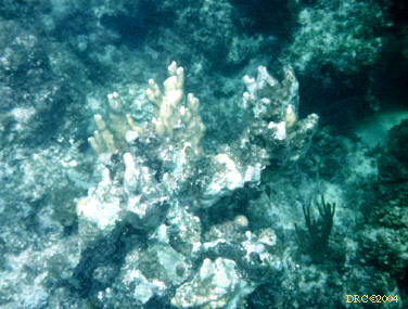
- fossil reef outcrop
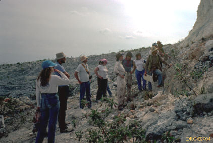
- Joan Esterle and Peter Warwick, same place
- Effie Grossnickel, same place
- Cockburn Town fossil reef, better weather
- my son Donald at fossil reef
- on the fossil reef
- Donald, same reef
- fossil reef outcrop
- Dan Phelps and fossil reef
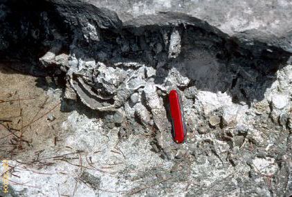
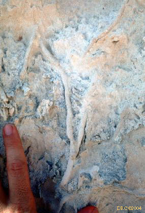
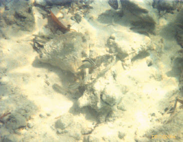
- Ophiomorpha burrow by callianassid shrimp
in reef limestone, same place
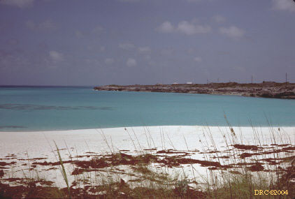
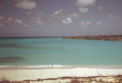
Fernandez Bay
Grotto Beach
Grotto Beach (Google Map) is located on the southwestern part of the island.
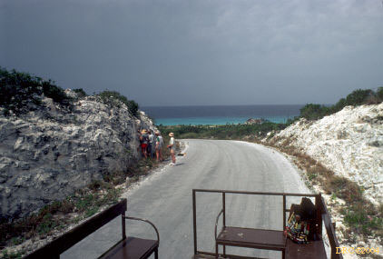
Watling Castle Quarry
Roadcut near Grotto Beach
French Bay
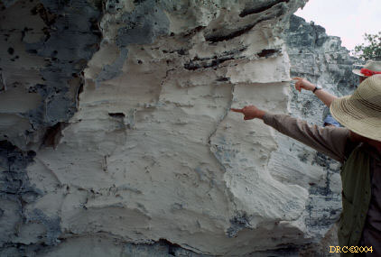
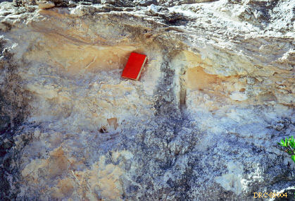
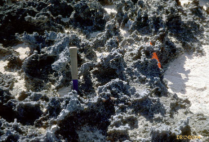
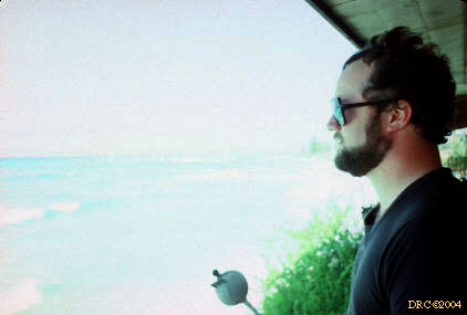
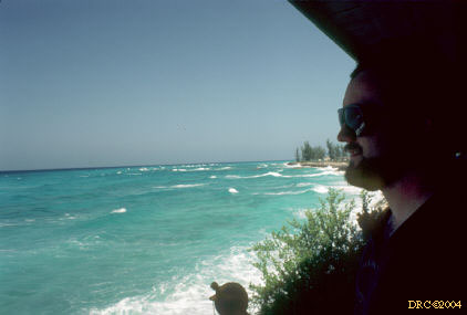
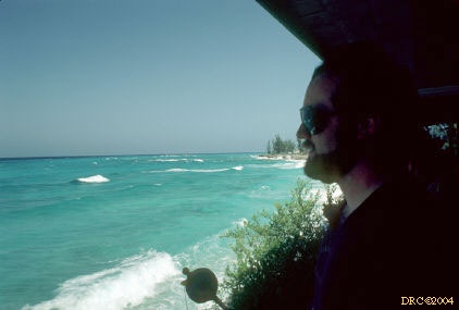
- very sharp, treacherous limestone, corroded,
French Bay?
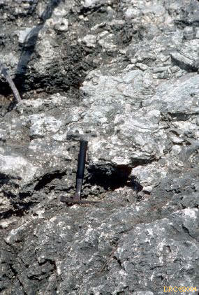
- sharp limestone with hammer for scale
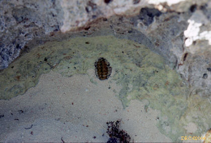
- chiton on wall of tidal pool-pothole
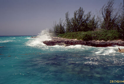
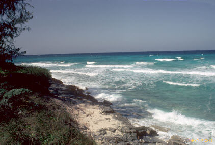
- rough surf and limestone, French Bay?
- same place
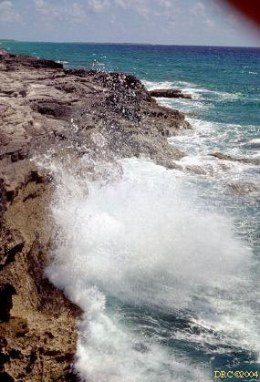
- rough surf, same place
- rough surf
- looking down at rough surf, hand to protect
camera from salt spray
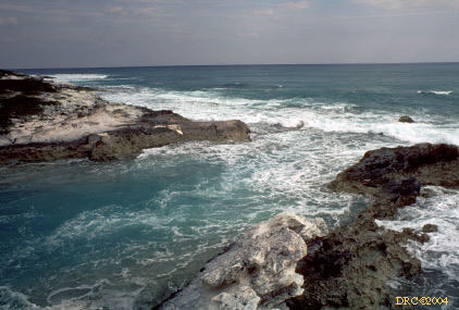
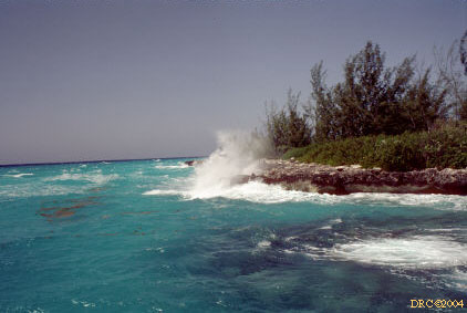
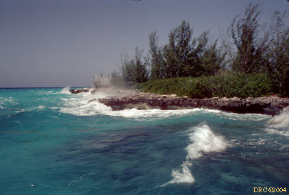
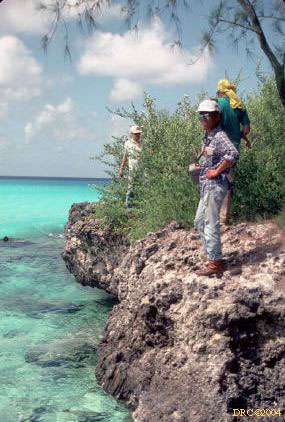
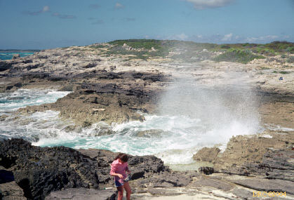
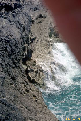
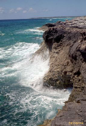
- sea cliff and rough surf
- surf area, note the color bands above the surf
- rough surf and sea cliff
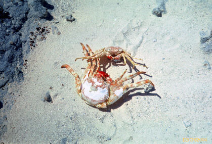
- crabs fighting, really staged fight with dead
crabs
- looking over bay, Gene Parker, French Bay?
- Ann Schreiber (now Childress)
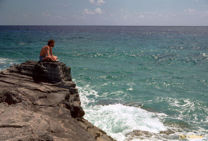
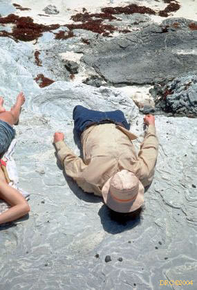
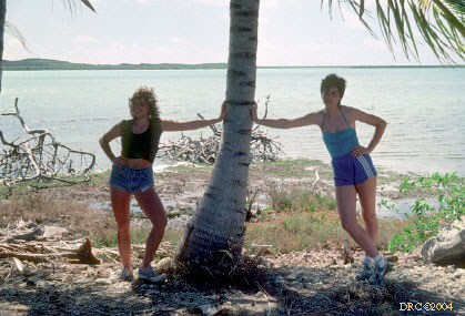
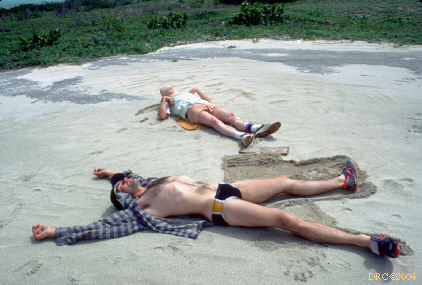
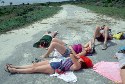
- resting after tiring dive in rough surf
- resting, same place
- resting, same place, Clark
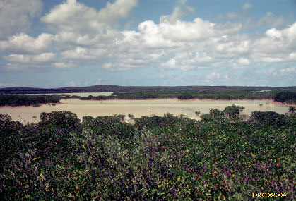
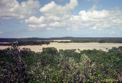
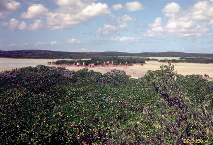
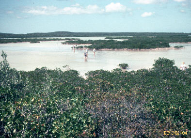
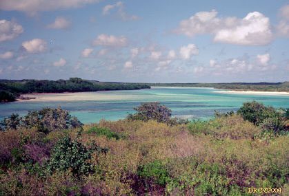
Pigeon Creek Lake
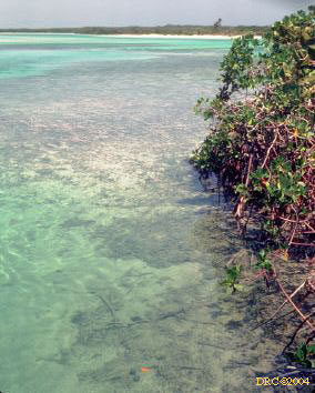
- Pigeon Creek Lake?, shallow lake and mangrove
flats
- same view
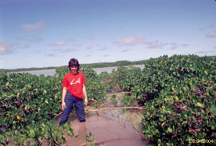
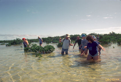
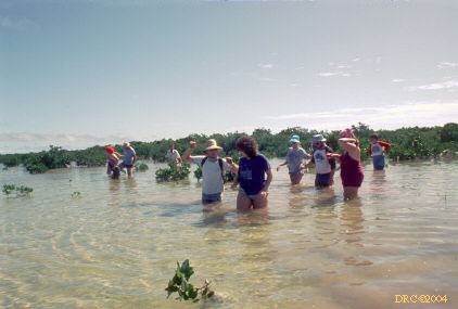
- wading across the salty muck, Pigeon Creek
lake/tidal flat
- same place, abundant mangroves
- wading through mangrove, need to rescan
- wading Pigeon Creek lake
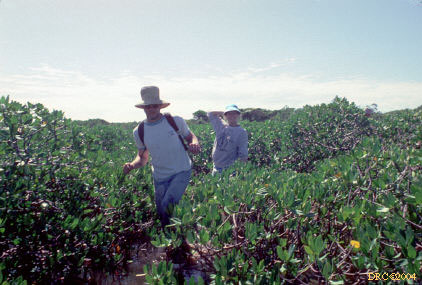
- mangroves at Pigeon Creek lake, Ann Schreiber
- Frank and Alma walking through the muck and
mangroves, same place
- wading through the muck, Pigeon Creek lake
- same place
- same place
- student and Ann Schreiber's mom, same place
- Ann Schreiber at Granny Lake?
- geologist, I don't remember, same place
- geologist, I don't remember, same place
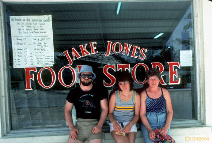
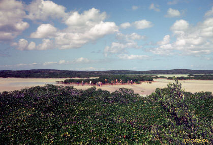
- group picture, Granny Lake?
- group picture, need to rescan
- group picture
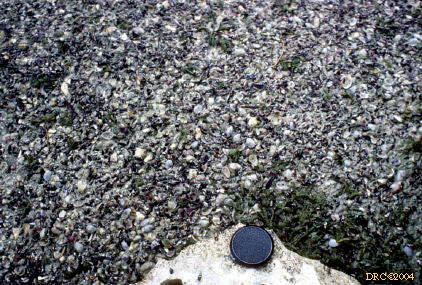
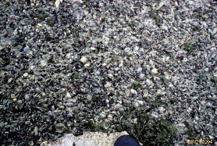
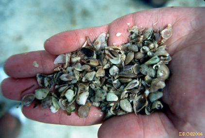
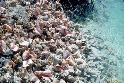
- modern Strombus gigas midden
- walking back through the mangroves
- same place
- peat sample collected by Joan Esterle
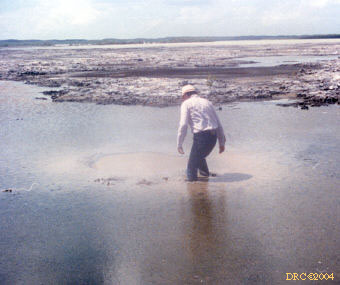
- Pigeon Creek tidal flat?, low tide
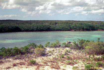
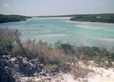
Pigeon Creek tidal channel
Pigeon Creek tidal channel, lake, and delta (Google Map) are located in the southeastern part of the island.
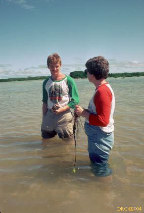
- Pigeon Creek tidal channel?
- same tidal channel
- Pigeon Creek tidal channel
- dock at Pigeon Creek tidal channel
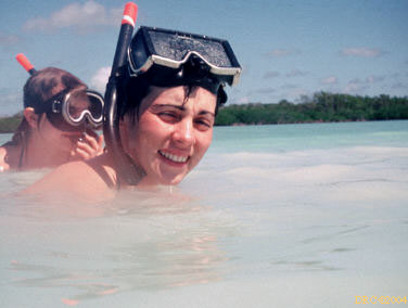
- time for sun screen, getting ready to snorkel
through the tidal channel at Pigeon Creek
- putting on sun screen for next dive, Pigeon
Creek area?
- Pigeon Creek tidal channel?
- Sergeant major, Abudefduf saxatilis,
Pigeon Creek tidal channel
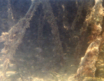
- mangrove roots, Pigeon Creek tidal channel
- strong tidal current, turbid water, ebb
flow, Pigeon Creek tidal channel
- difficult to keep in one position with
strong tidal current, Pigeon Creek tidal channel
- Codakia bivalve pavement at bottom of
scoured trough in tidal channel, note that all valves are convex upward,
Pigeon Creek tidal channel
- Halimeda-grained sand along tidal
channel, Pigeon Creek tidal channel
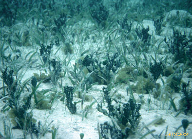
- Halimeda, Udotea, Penicillus and
Thalassia grass, Pigeon Creek tidal channel
- note bent Thalassia grass, strong
tidal current, Pigeon Creek tidal channel
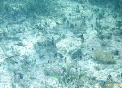
- carbonate sand encroaching upon Thalassia
grass, near Pigeon Creek tidal delta
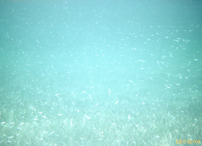
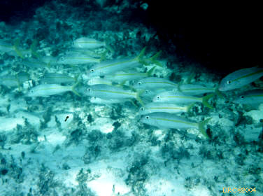
- school of tiny fish over grass flat, near Pigeon
Creek tidal delta
- Goniolithon coralline algae and
Thalassia grass, near Pigeon Creek tidal delta
Pigeon Creek quarry
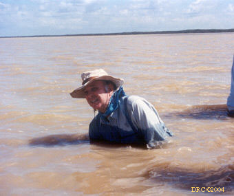
Storr's Lake
- Conrad Newman, Storr's Lake, smells like
sewage
- Conrad Newman, Storr's Lake
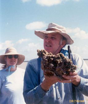
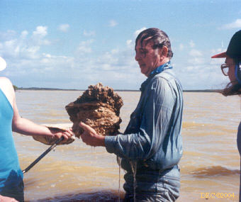
- Conrad groping for thrombolite
- Conrad Newman with cyanobacterial thrombolite,
Storr's Lake
- Conrad going underwater to get another thrombolite,
lake smells like sewage or hydrogen sulfide
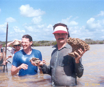
- wet Conrad with thrombolite
- wet Conrad with thrombolite, I retrieved one
also, it is at KGS
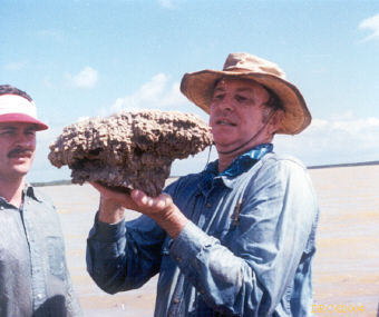
- thrombolite
- Conrad with thrombolite
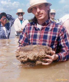
- Donald with thrombolite
- Ann Watson with thrombolite
- unusual bedding, don't remember where
- unusual bedding, don't remember where
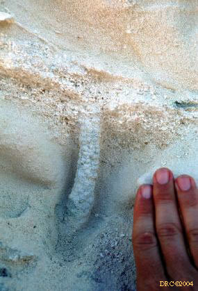
- upwelling water in tidal flat, dewatering
structure or spring?
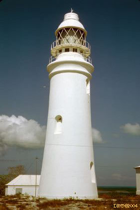
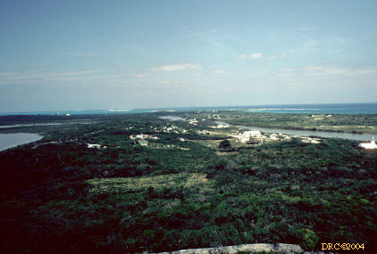
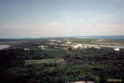
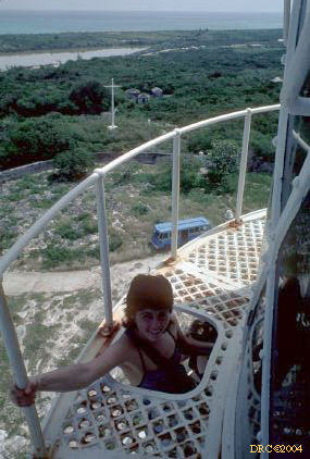
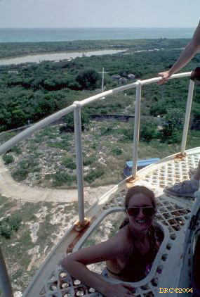
Dixon Hill Lighthouse
The Dixon Hill Lighthouse (Google Map) is on the northeastern part of the island.
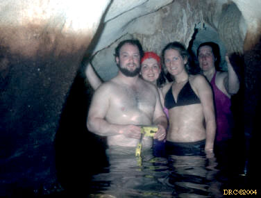
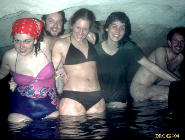
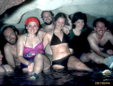
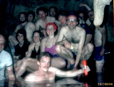
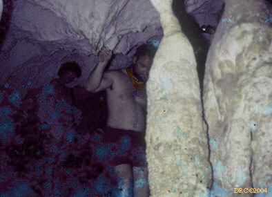
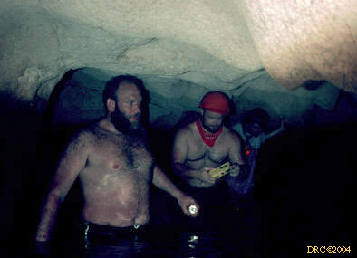
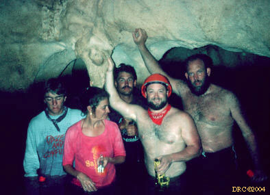
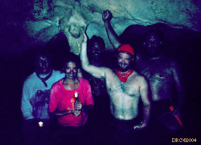
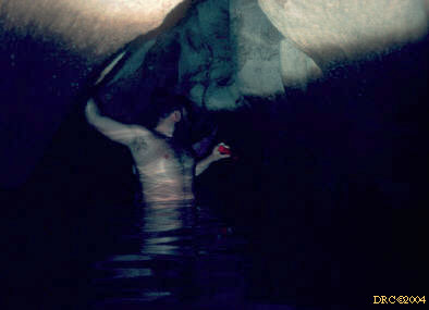
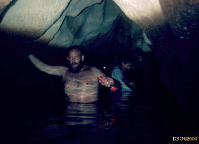
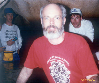
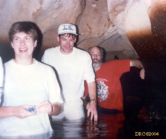
Lighthouse Cave
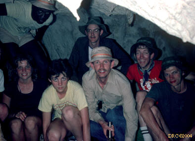
- Lighthouse cave, my cousin Joe and some of the
geology students
- Lighthouse cave, my cousin Joe and some of the
geology students
- Ann, Peter and Clark in the cave
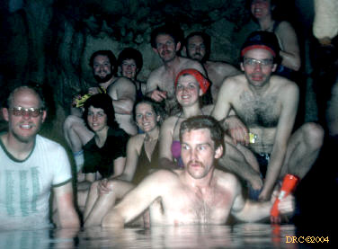
- our group in the cave for a group picture
- group picture
- group picture
- group picture
- another group picture
- Frank, our leader, Harry (Joe's father-in-law),
Ann Schreiber's mother and Clark
- Clark, Lighthouse cave
- group picture in the cave
- group picture, cave
- Joe (my cousin), in Lighthouse cave
- Patrick and Joe in the cave
- group picture in the cave
- group picture in the cave, dark
- Patrick? in cave
- Patrick, cave
- our group in Lighthouse cave
- our group in the cave
- our group, Lighthouse cave
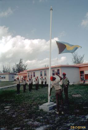
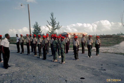
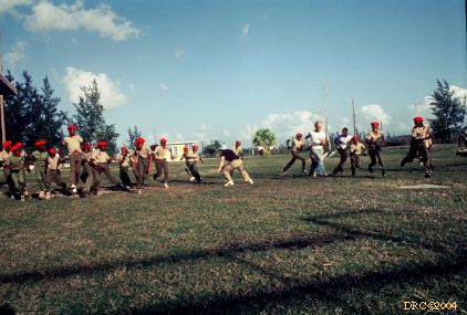
Boy Scouts
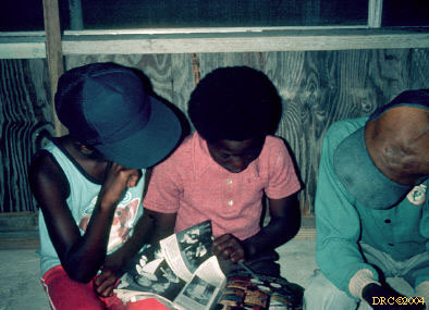
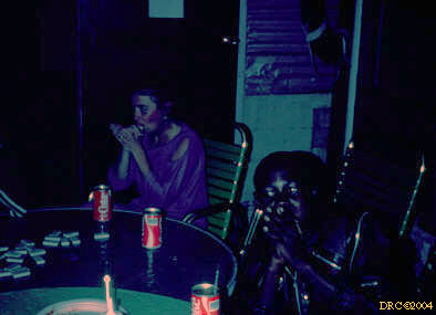
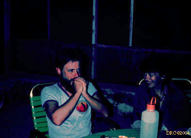
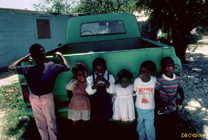
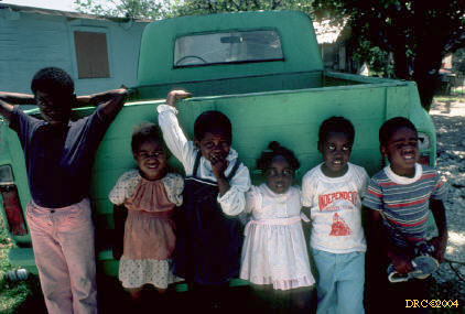
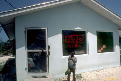
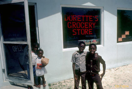
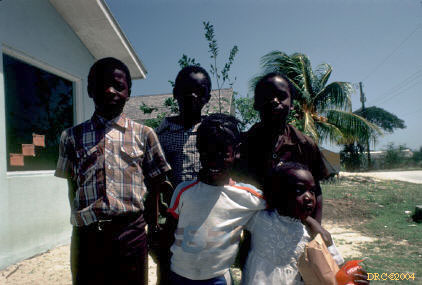
People, etc.
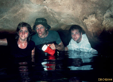
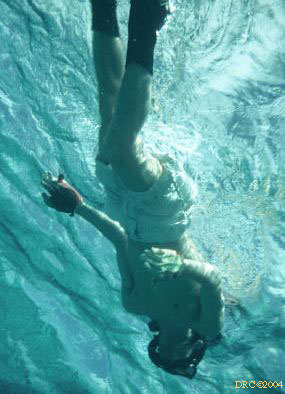
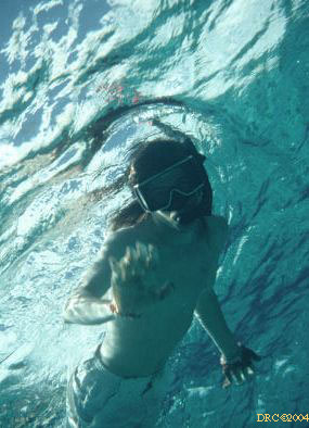
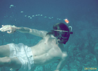
Underwater pictures
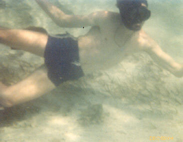
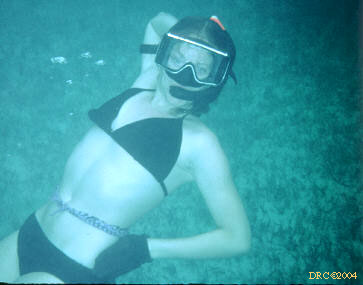
- you never can tell what you'll see underwater, Alma
Hale
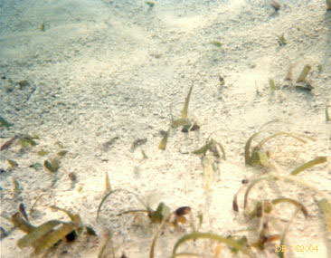
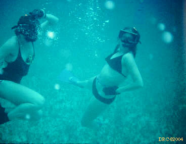
- two geologists disturbing the Thalassia
grass flat
- I have no idea, but it's Joan Esterle and Peter
Warwick
- Joe diving down
- my son Donald, Fernandez Bay?
- Donald
- Donald
- Donald, underwater
- Ann Schreiber Childress
- diver, clear water
- diving group, unidentified
- unusually murky water, can't tell who diver is
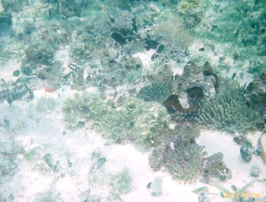
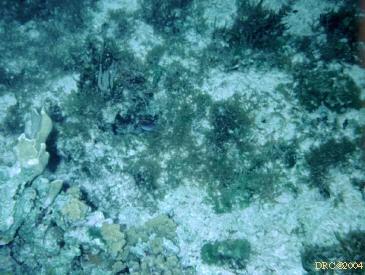
- algae, grass, etc
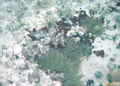
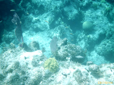
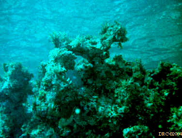
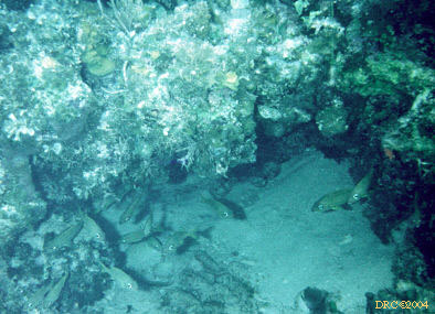
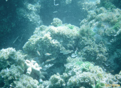
- abundant algae, anemones, and sponges, Grahams
Harbour
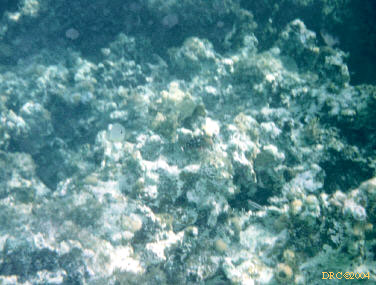
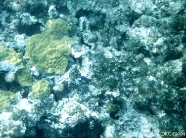
- small coral head (in back) and abundant algae
and sponges, Grahams Harbour
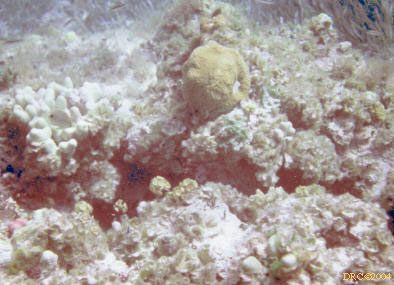
- abundant small coral heads and a dark sponge,
Grahams Harbour
- corals and algae, Grahams Harbour, near the
Coast Guard dock
- red coralline algae, a Diadema sea urchin
and an anemone, Grahams Harbour
- variety of algae
- variety of algae
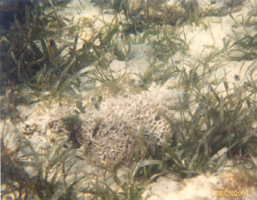
- algae and small knobs of coral
- Goniolithon coralline algae and
Thalassia grass
- Goniolithon and a small coral head
- very shallow water, same place, Acetabularia?
- algae, may be Acetabularia
- variety of algae including Penicillus and
Udotea
- Halimeda, Penicillus and other algae
- Halimeda and Penicillus algae
- Penicillus and Udotea algae
- Udotea algae
- Halimeda, Udotea, Penicillus and
Thalassia grass, Pigeon Creek tidal channel
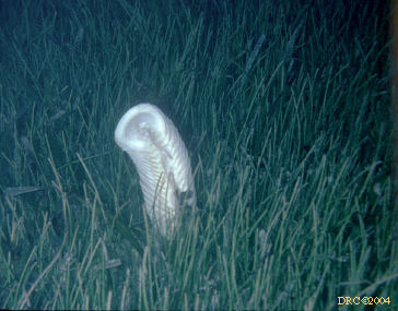
- whelk? egg cases in Manatee grass,
Syringodium filiforme
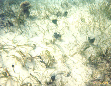
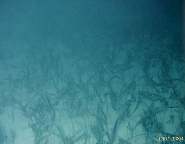
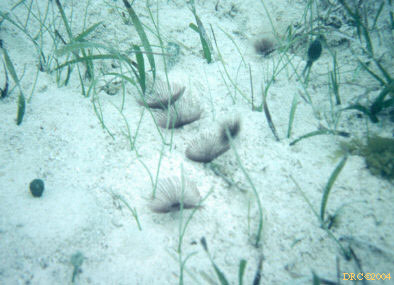
- Thalassia grass flat
- Thalassia grass flat, dark photo, turbid
- Thalassia grass flat against rock with
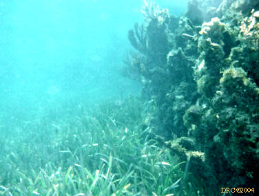
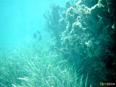
soft corals, probably Grahams Harbour
- Thalassia grass flat against rock with
soft corals, probably Grahams Harbour
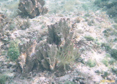
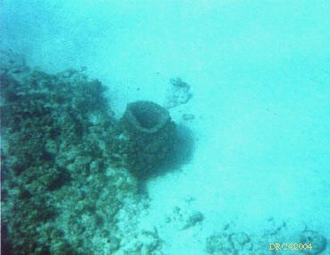
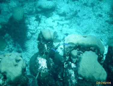
- sponges (Porifera)
- corals, hydrozoans, gorgonians, etc. (Cnidaria)
- Millepora, fire coral or stinging
coral
- Millepora
- Millepora squarosa? on the left and some
kind of brain coral on the right, can't see enough detail
- Millepora?
- Millepora, dark photo
- Millepora and coral, dark photo
- Millepora
- Millepora and algae
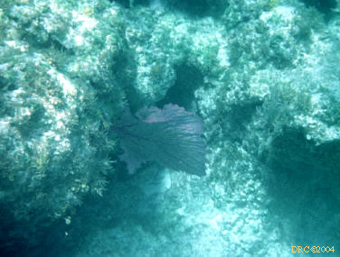
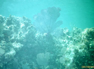
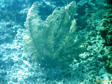
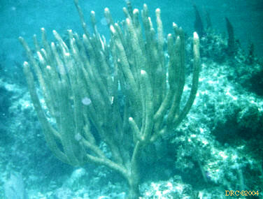
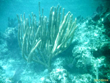
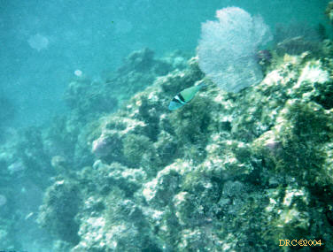
- sea fan, Gorgonia ventalina
- sea fan, Gorgonia ventalina, probably
Grahams Harbour
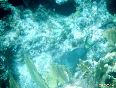
- sea fans and a parrotfish, Scarus sp.
- sea fans and a parrotfish, Scarus sp.
- sea fans and a little blue fish
- sea fans and small coral heads, probably Grahams
Harbour
- sea fan and turbid water
- Sea Fans
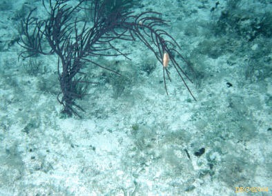
- soft coral, unidentified
- variety of soft corals and a fish
- variety of soft coral
- variety of soft corals, Grahams Harbour
- soft coral
- soft coral
- Pseudopterogorgia gorgonian with pink Flamingo Tongue snail,
Cyphoma gibbosum
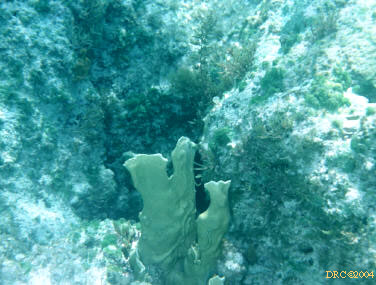
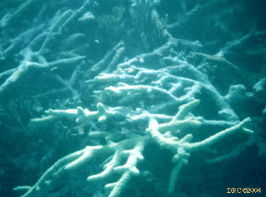
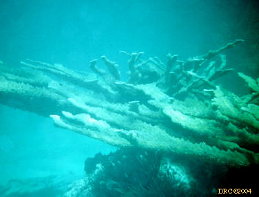
- Staghorn coral, Acropora cervicornis
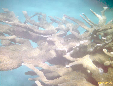
- Elkhorn coral, Acropora palmata, these
grow in the heavy surf part of the reef, probably French Bay
- Elkhorn coral, Acropora palmata
- Elkhorn coral, Acropora palmata, and
Stoplight Parrotfish, Sparisoma viride
- Elkhorn coral, Acropora palmata
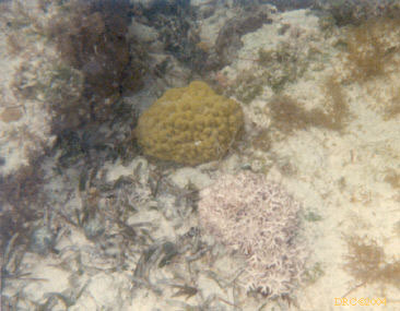
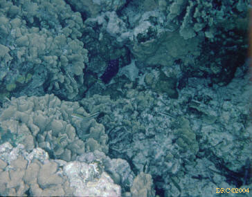
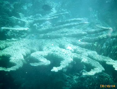
- Brain coral head
- overgrown or weathered coral
- Alma Hale with coral
- variety of coral, algae and a parrotfish
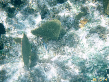
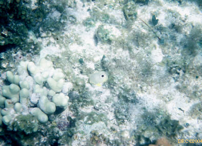
- small corals (yellow)
- small coral knobs and algae
- variety of small coral heads
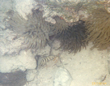
- sea anemones and a small shrimp with the
same markings as a Nassau grouper
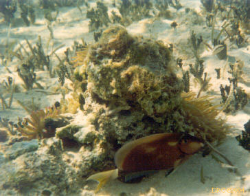
- sea anemone
- worms, etc. ("Vermes")
- molluscs
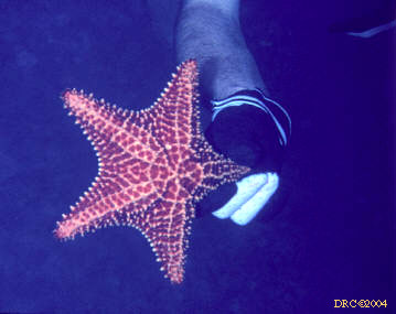
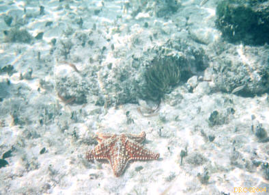
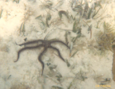
- sea urchins, starfish, etc. (Echinodermata)
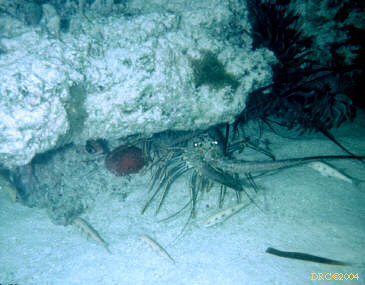
- lobsters, crabs, shrimp, etc (Arthropoda)
- Slipper Lobster, Scyllarides aequinoctialis,
aka Spanish Lobster
- Spiny Lobster, Panulirus argus, with
several immature Bluehead Wrasse, Thalassoma bifasciatum
- very large Hermit Crab (terrestrial), could be
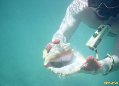
Petrochirus diogenes, in very large West Indian Turban shell,
path to Lighthouse cave
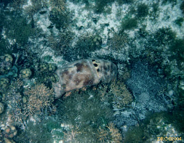
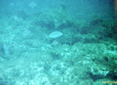
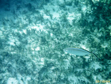
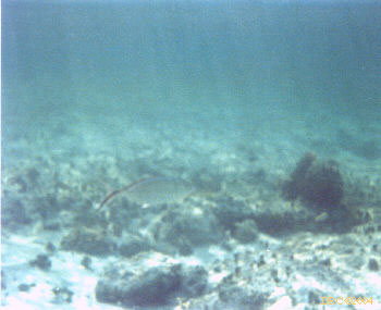
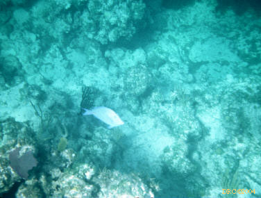
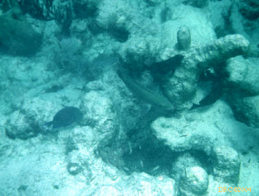
- Fish (Pisces)
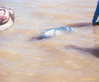
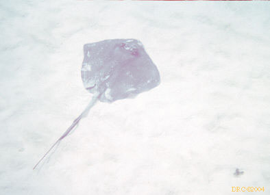
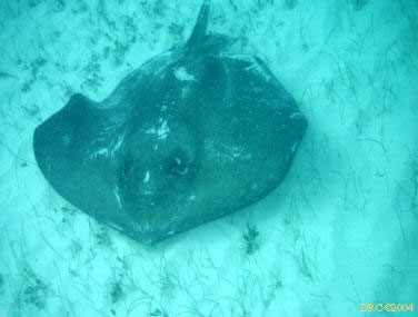
- Southern Stingray, Dasyatis americana
- Southern Stingray, Dasyatis americana
- Southern Stingray, Dasyatis americana
- Yellow Stingray, Urolophus jamaicensis,
Pigeon Creek tidal channel
- Yellow Stingray, Urolophus jamaicensis,
Pigeon Creek tidal channel
- Yellow Stingray, Urolophus jamaicensis
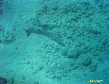
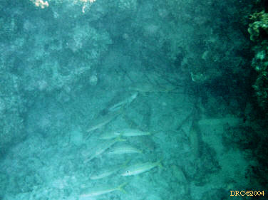
- Great Barracuda, Sphyraena barracuda, in
turbid water
- pair of Great Barracudas, Sphyraena
barracuda
- Great Barracuda, Sphyraena barracuda
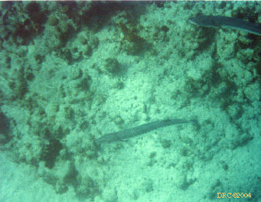
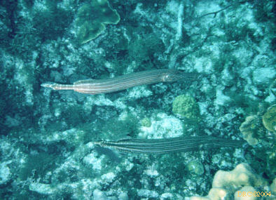
- pair of Trumpetfish, Aulostomus maculatus,
dock at Grahams Harbour
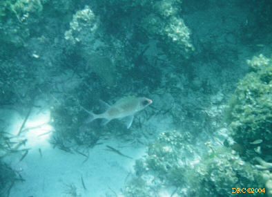
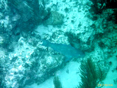
- Sand Tilefish, Malacanthus plumieri
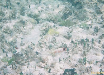
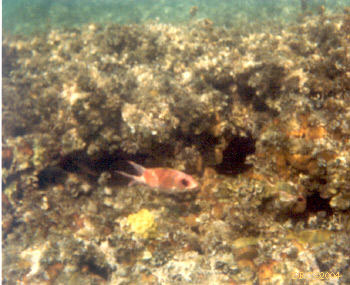
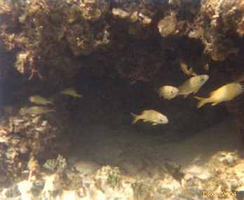
- Squirrelfish of some type
- Squirrelfish? under rock overhang
- small Squirrelfish, Holocentrus,
over anemone
- another Squirrelfish, Holocentrus
- Longspine Squirrelfish, Holocentrus rufus
- Longspine Squirrelfish, Holocentrus rufus
- Longspine Squirrelfish, Holocentrus rufus
- Longspine Squirrelfish, Holocentrus rufus
- hard-to-see squirrelfish
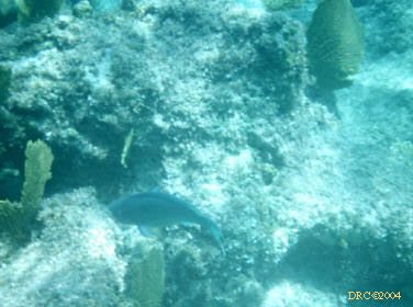
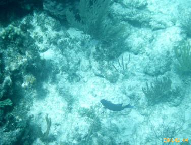
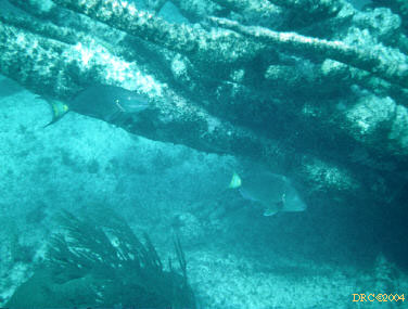
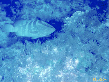
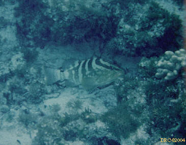
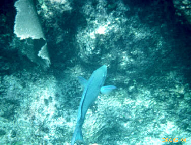
- Nassau Grouper, Epinephelus striatus
- Nassau Grouper, Epinephelus striatus
- Nassau Grouper, Epinephelus striatus
- Nassau Grouper, Epinephelus striatus
- Nassau Grouper, Epinephelus striatus
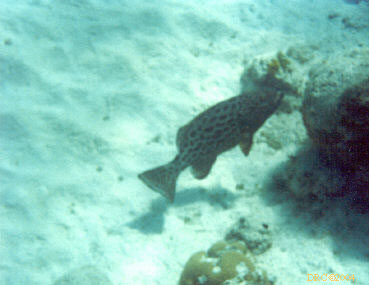
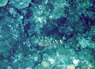
- Tiger Grouper, Mycteroperca tigris
- Tiger Grouper, Mycteroperca tigris
- Tiger grouper, Mycteroperca tigris
- Yellowfin Grouper, Mycteroperca venenosa
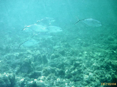
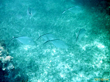
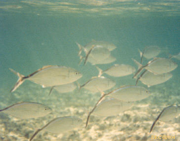
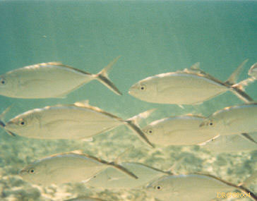
- school of Bar Jacks, Caranx ruber
- Bar Jacks, Caranx ruber
- Bar Jacks, Caranx ruber
- Bar Jacks, Caranx ruber
- Bar Jack, Caranx ruber
- Bar Jack, Caranx ruber
- Bar Jack, Caranx ruber
- Bar Jack, Caranx ruber
- Bar Jack, Caranx ruber
- Schoolmaster snapper, Lutjanus apodus
- Schoolmaster snapper, Lutjanus apodus
- Schoolmaster snapper, Lutjanus apodus
- Schoolmaster snapper, Lutjanus apodus
- Schoolmaster snapper, Lutjanus apodus
- bunch of little grunts? and a sea fan
- school of grunt, perhaps Sailors Choice,
Haemulon carbonarium
- Porkfish, Anisotremus virginicus, and
soft corals
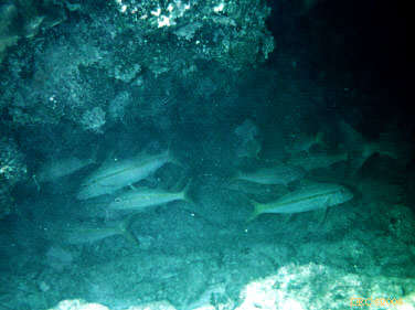
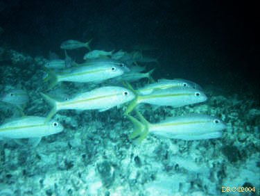
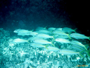
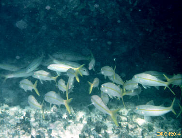
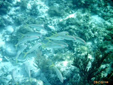
- Yellow Goatfish?, Mulloidichthys martinicus
- Yellow Goatfish, Mulloidichthys martinicus
- Yellow Goatfish, Mulloidichthys martinicus
- Yellow Goatfish, Mulloidichthys martinicus
- Yellow Goatfish, Mulloidichthys martinicus
- Yellow Goatfish, Mulloidichthys martinicus
- Yellow Goatfish?, Mulloidichthys martinicus
- Flying Gurnard, Dactylopterus volitans,
looks like a giant grasshopper sitting on the bottom, fairly deep water
- two Bermuda Chubs?, Kyphosus sectatrix
- Bermuda Chub, Kyphosus sectatrix
- two Bermuda Chub, Kyphosus sectatrix
- Bermuda Chubs, Kyphosus sectatrix
- pair of Bermuda Chub, Kyphosus sectatrix
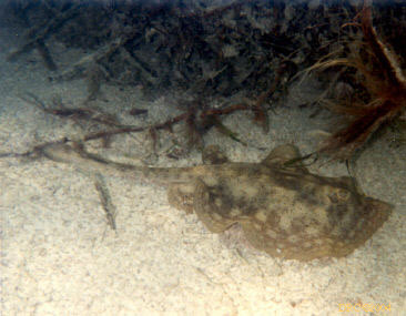
- Peacock Flounder, Bothus lunatus,
well camouflaged, you can see the two eyes sticking up
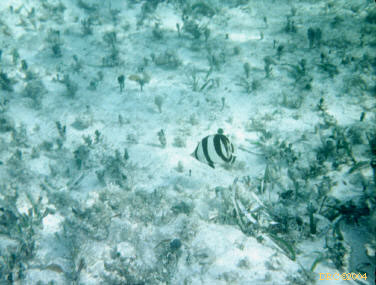
- Foureye Butterflyfish, Chaetodon capistratus
- Foureye Butterflyfish, Chaetodon capistratus
and coral knob
- Banded Butterflyfish, Chaetodon striatus,
Grahams Harbour
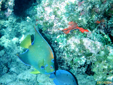
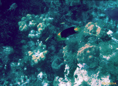
- Queen Angelfish, Holacanthus ciliaris,
and Blue Tang, Acanthurus coeruleus (lower fish)
- Queen Angelfish, Holacanthus ciliaris
(middle fish), and two Doctorfish, Acanthurus chirurgus
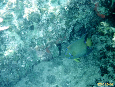
- Queen Angelfish, Holacanthus ciliaris
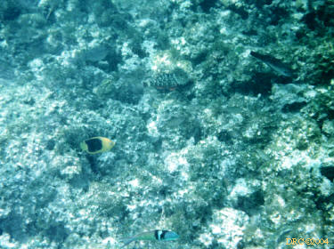
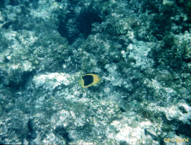
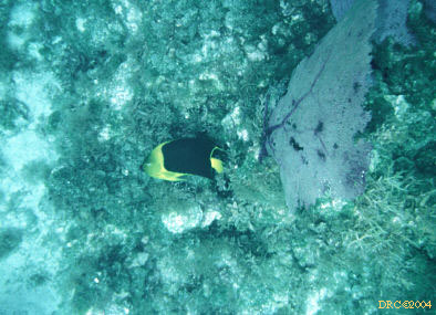
- Rock Beauty, Holacanthus tricolor,
intermediate stage
- Rock Beauty, Holacanthus tricolor,
intermediate stage
- Rock Beauty, Holacanthus tricolor, adult
stage
- Rock Beauty, Holacanthus tricolor
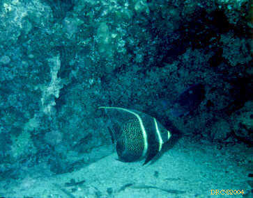
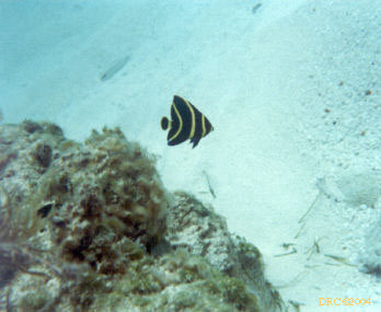
- French Anglefish, Pomacanthus paru,
intermediate stage
- French Angelfish, Pomacanthus paru,
juvenile
- French Angelfish, Pomacanthus paru,
juvenile
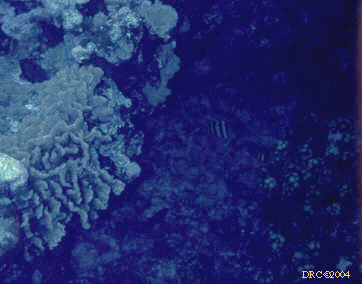
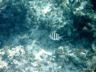
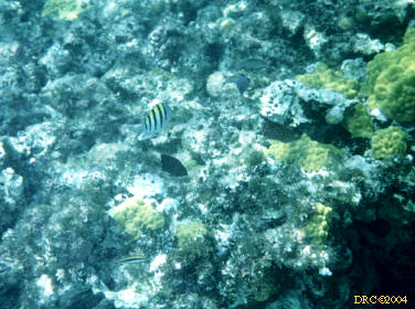
- Sergeant major, Abudefduf saxatilis
- Sergeant major, Abudefduf saxatilis and
soft corals
- Sergeant major, Abudefduf saxatilis
- Sergeant major, Abudefduf saxatilis,
Pigeon Creek tidal channel
- Blueheaded Wrasse, Thalassoma bifasciatum,
against rock
- Blueheaded Wrasse, Thalassoma bifasciatum,
adult stage and sea fan
- Blueheaded Wrasse, Thalassoma bifasciatum,
adult stage
- Blueheaded Wrasse, Thalassoma bifasciatum,
adult stage
- Blueheaded Wrasse, Thalassoma bifasciatum
- immature wrasses?
- Spanish Hogfish, Bodianus rufus, nearly
adult
- Spanish hogfish?, Bodianus rufus,
juvenile (under algae)
- Stoplight parrotfish, Sparisoma viride,
and sea fans
- Stoplight parrotfish, Sparisoma viride,
red phase
- Blue Parrotfish, Scarus sp.
- Blue Parrotfish, Scarus sp. and sea fan
- Parrotfish and soft coral
- Stoplight parrotfish, Sparisoma viride,
red phase (lower fish) and Queen Parrotfish, Scarus vetula, drab phase
(upper fish)
- Queen Parrotfish, Scarus vetula, drab
phase
- Rainbow Parrotfish?, Scarus guacamaia,
drab phase
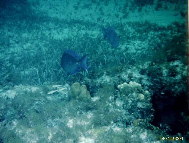
- two Black Durgons, Melichthys niger
- two Black Durgons, Melichthys niger
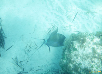
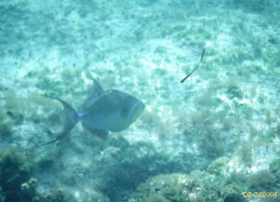
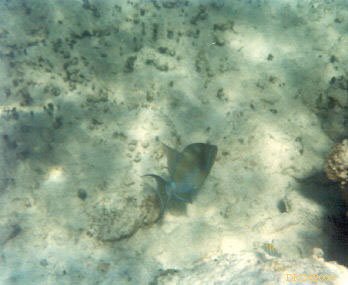
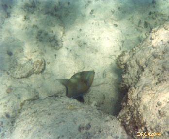
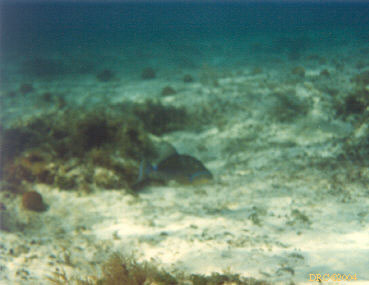
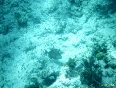
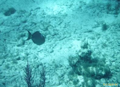
- Ocean Triggerfish?, Canthidermis sufflamen
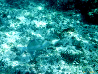
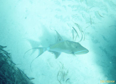
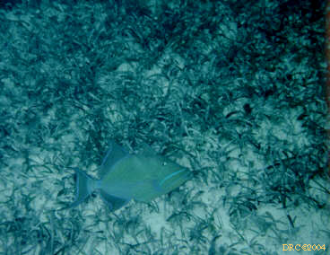
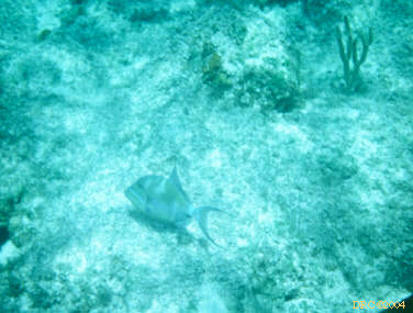
- Queen Triggerfish, Balistes vetula
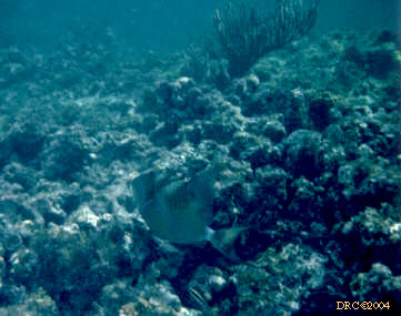
- Queen Triggerfish, Balistes vetula
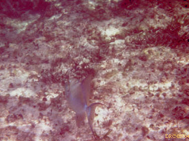
- Queen Triggerfish, Balistes vetula
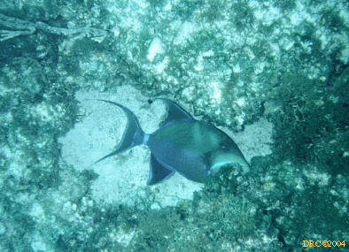
- Queen Triggerfish, Balistes vetula
- Queen Triggerfish, Balistes vetula
- Queen Triggerfish, Balistes vetula
- Queen Triggerfish, Balistes vetula
- Queen Triggerfish, Balistes vetula
- Queen Triggerfish, Balistes vetula
- Queen Triggerfish, Balistes vetula
- Queen Triggerfish, Balistes vetula
- Queen Triggerfish, Balistes vetula
- Ocean Triggerfish?, Canthidermis sufflamen,
could be bad view of Queen Triggerfish
- Queen Triggerfish, Balistes vetula
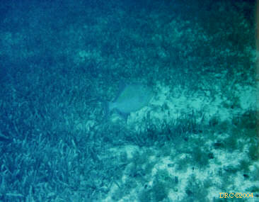
- Queen Triggerfish, Balistes vetula, in
Thalassia grass flat
- Queen Triggerfish, Balistes vetula
- Queen Triggerfish, Balistes vetula and
soft coral
- Queen Triggerfish, Balistes vetula
- Queen Triggerfish, Balistes vetula
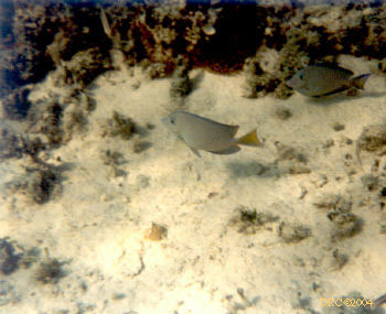
- Blue Tang, Acanthus coeruleus, adult
stage
- Blue Tang, Acanthus coeruleus, and some
other fish I can't make out
- Blue Tang, Acanthus coeruleus, between
coral heads
- Blue Tangs, Acanthus coeruleus, adult
phase
- Blue Tang, Acanthus coeruleus,
intermediate stage, and lots of algae
- Doctorfish, Acanthurus chirurgus, a
kind of surgeonfish
- Doctorfish, Acanthurus chirurgus
- Doctorfish, Acanthurus chirurgus
- Doctorfish, Acanthurus chirurgus
- Doctorfish, Acanthurus chirurgus
- Doctorfish, Acanthurus chirurgus
- Ocean Surgeon, Acanthurus bahianus, or
could be a Doctorfish, A. chirurgus
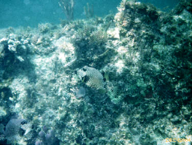
- pair of Smooth Trunkfish, Lactophrys
triqueter
- pair of Smooth Trunkfish, Lactophrys
triqueter, one is at bottom left
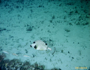
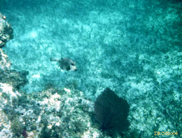
- Smooth Trunkfish, Lactophrys triqueter
- Smooth Trunkfish, Lactophrys triqueter
- Smooth Trunkfish, Lactophrys triqueter
with an L. trigonus pattern
- Smooth Trunkfish, Lactophrys triqueter
- large fish, can't tell which, maybe a grouper
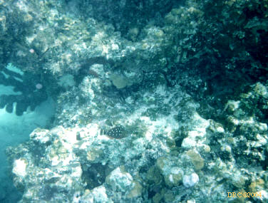
- small hole with tiny fish
- unidentified fish
- small fish, coral and algae
- two conchs with fish living in them
- small yellow fish
- tiny blue fish and some kind of coral
- coral and fish
- fish, can't see enough to identify it
- variety of fish, Blue Tang and others
- deeper water, some kind of triggerfish or
surgeonfish?
- unknown fish, maybe a grouper, can't tell
- some kind of fish
- unidentified fish, one may be a parrotfish
Return to Parent page