Geologic Field Trips in the U.S.
Copyrighted © by Don Chesnut, 2004, 2005, 2006
-
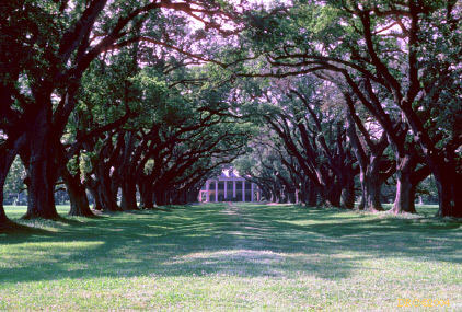
Louisiana, Lower Mississippi River, 1981
-
Florida-Georgia, Okeefenokee Swamp, 1982
-
Texas, Coastal environments near Corpus Christi,
1986
-
Colorado, Carboniferous Eagle Valley Evaporites,
1988
-
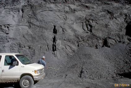
Alabama, Coal-bearing rocks of northern Alabama, 1990,
1999
-
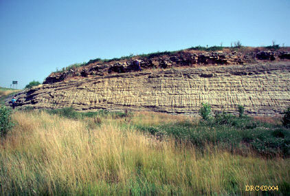
Kansas, Pennsylvanian-age strata of Kansas, 1991
-
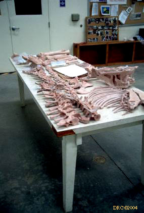
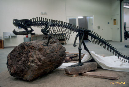
New Mexico, Dinosaur Dig, 1997
-
Utah, Tidalites in Big Cottonwood Canyon, 1997
-
Utah, Evaporitic salt deposits at Great Salt Lake, 1997
-
Utah, Cretaceous Ferron Sandstone , 1997
-
Nevada-California, Northern Sierra Nevadas,
2000
-
Nevada-California,, Lake Tahoe, 2000
-
Nevada, Northeastern Nevada, 2000
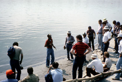
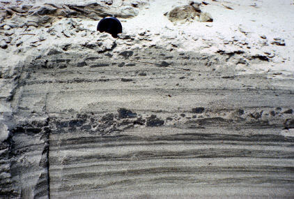
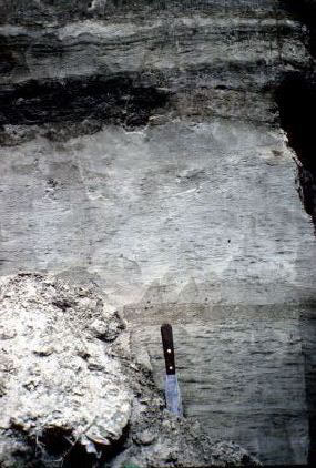
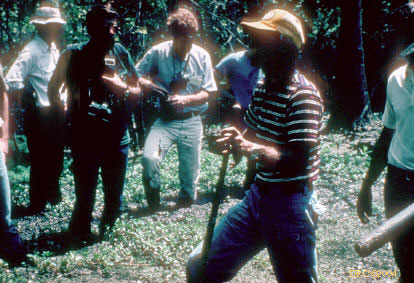
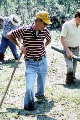
1981, Jim Coleman's AAPG course on lower
Mississippi River sedimentation
Attended by Jim Cobb and Don Chesnut, our slides are mixed together.
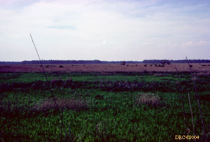
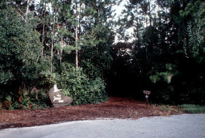
1982, August, Okeefenokee Swamp with Art Cohen
Photos by Jim Cobb and Don Chesnut mixed together.
-
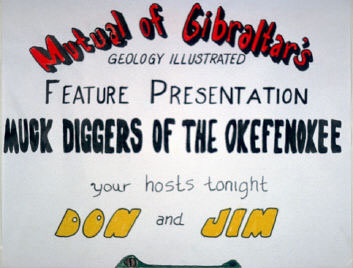
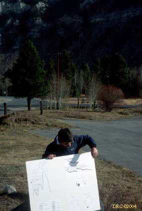
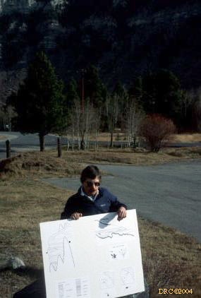
poster for our talk
-
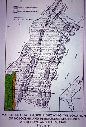
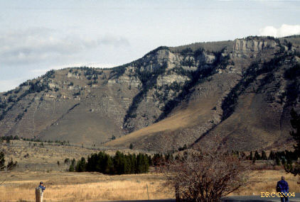
southeastern USA, globe view
-
location of Trail Ridge (yellow) and swamp (green)
-
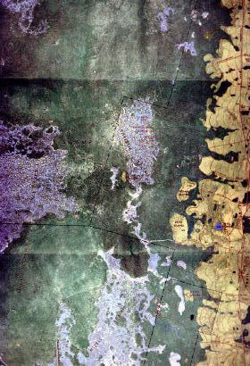
orthophoto of Trail Ridge (yellow) and swamp (green)
-
orthophoto of swamp and ridges
-
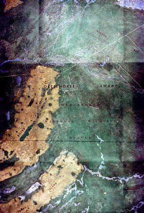
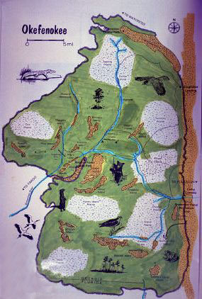
map of swamp
-
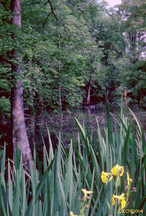
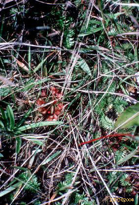
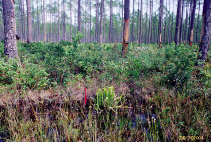
vegetation along dryer part of swamp, purple plant
may be Sundew, a carnivorous plant
-
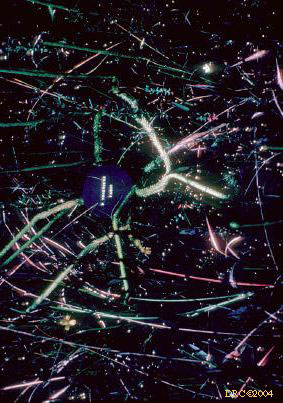
trap of Bladderwort plant which captures
swimming plankton
-
Club Moss (Lycopodium), Okeefenokee
Swamp
-
Club moss (Lycopodium) in marsh
-
swamp lily
-
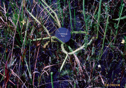
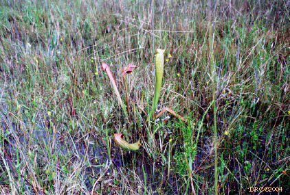
Pitcher Plants (carnivorous) and depauperate forest,
both characteristic of low nutrients
-
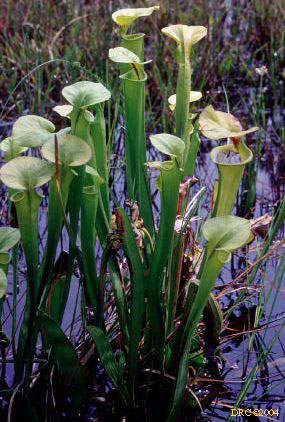
Pitcher Plants
-
bladder of bladderwort, bladder is trap used to
grab plankton for nutrients
-
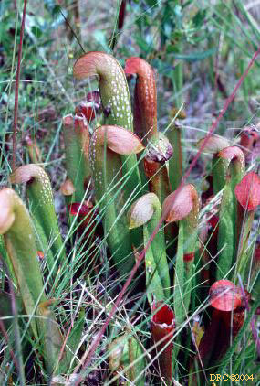
Pitcher Plants
-
Pitcher Plants, another kind
-
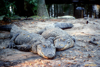
alligators at main park tourist center
-
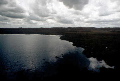
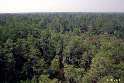
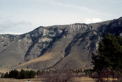
eastern part of swamp from Trail Ridge to the west
-
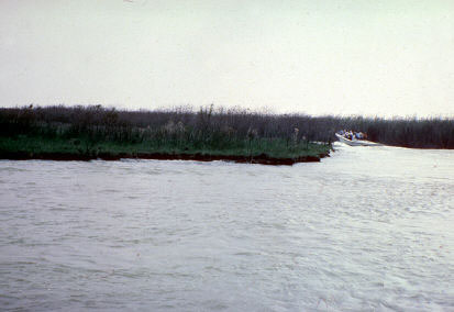
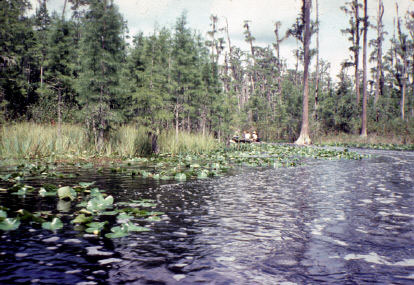
western part of the swamp, lake and boat trail areas
-
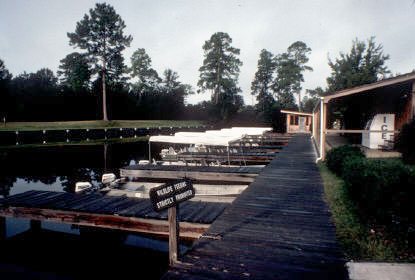
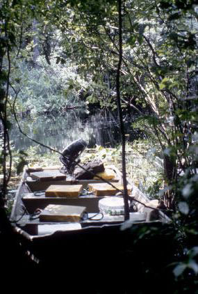
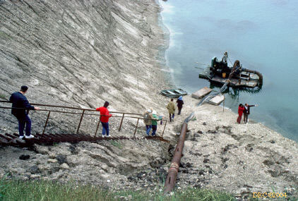
boat dock, next day
-
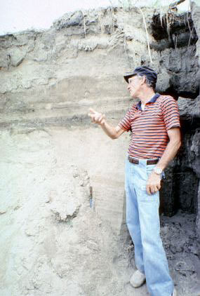
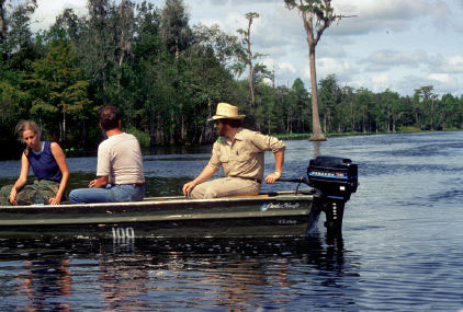
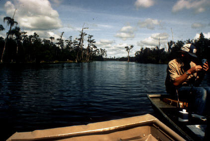
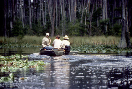
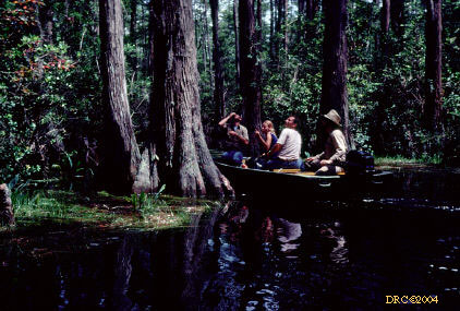
Art Cohen in lead boat
-
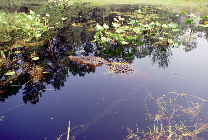
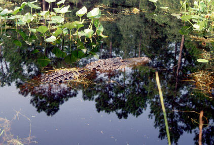
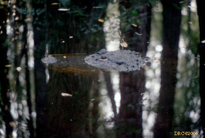
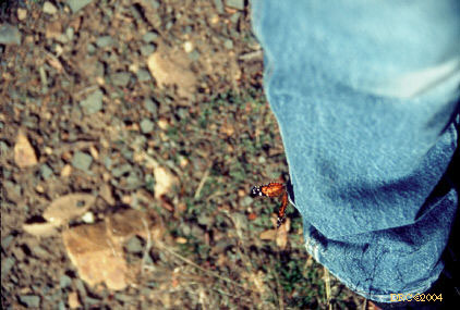
alligator
-
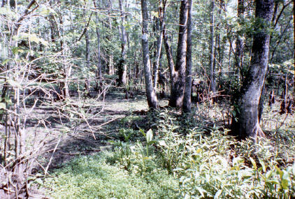
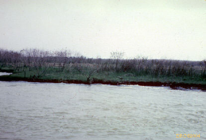
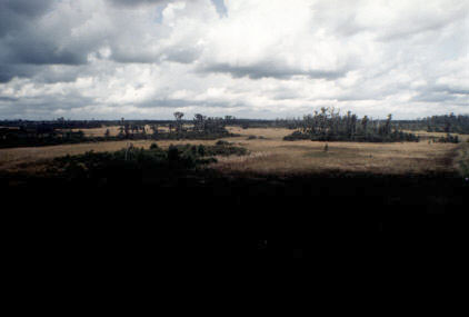
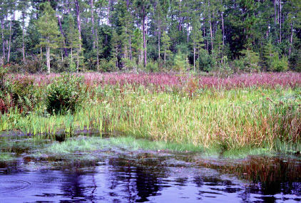
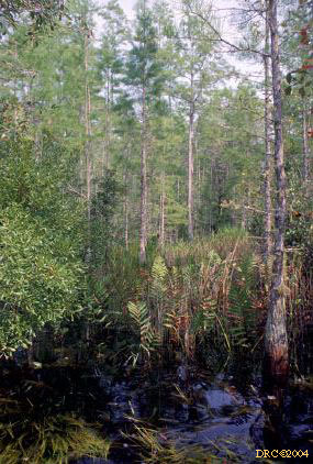
marsh with sparse trees
-
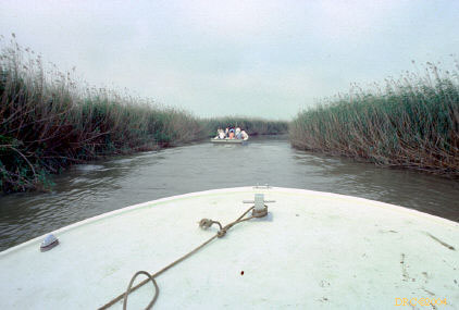
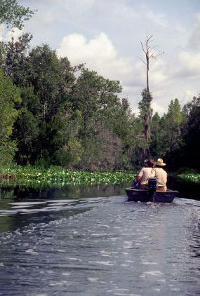
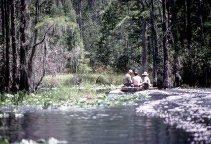
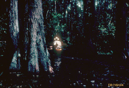
lead boat
-
marsh
-
alligator
-
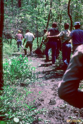
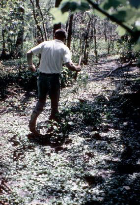
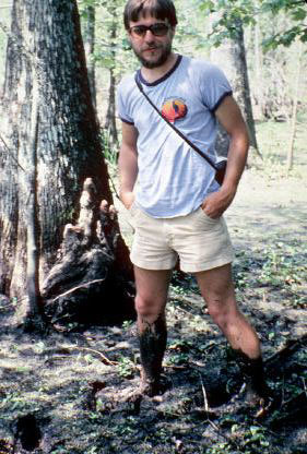
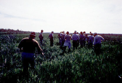
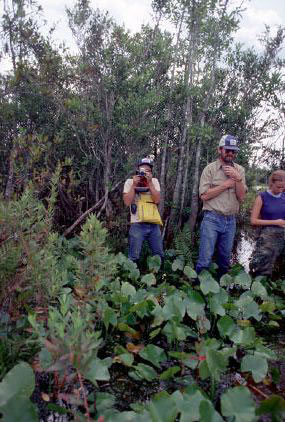
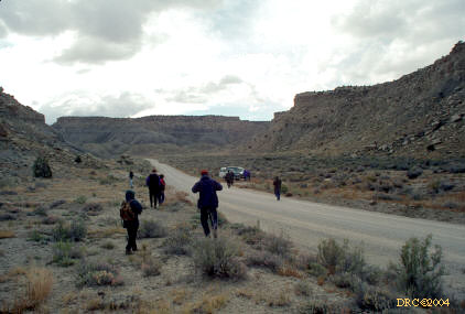
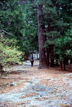
walking through old burned-out marsh
-
old burned marsh, Jim Cobb on left
-
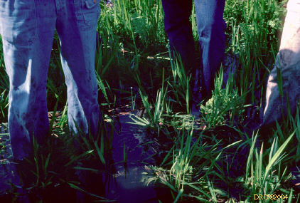
old, burned out marsh, spicules from fresh-water
sponges irritated our legs
-
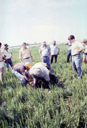
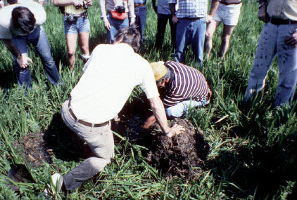
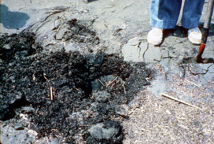
edge of burned-out marsh, sampling peat
-
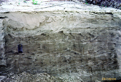
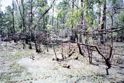
burned-out marsh and stump
-
alligator
-
edge of burned-out swamp
-
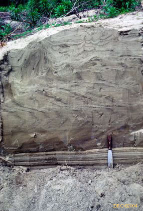
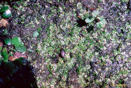
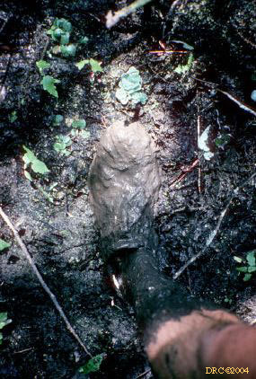
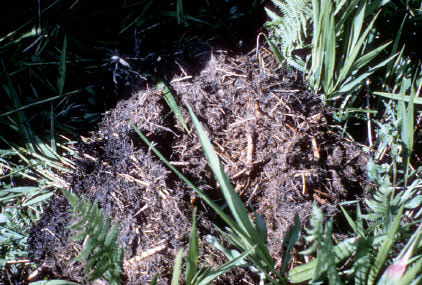
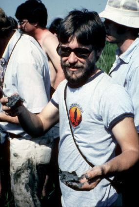
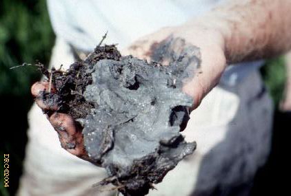
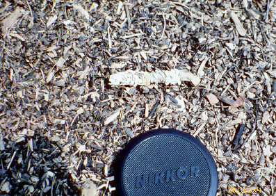
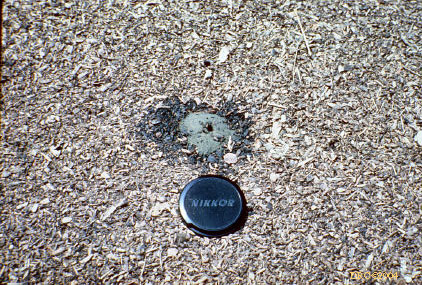
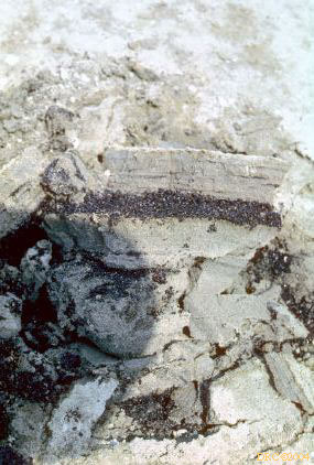
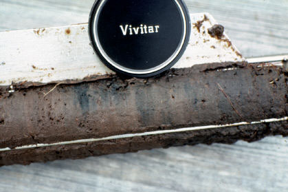
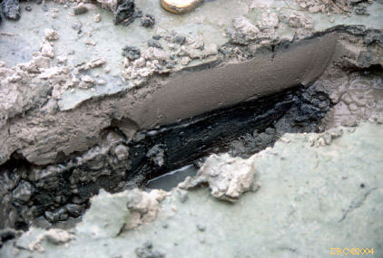
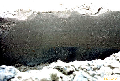
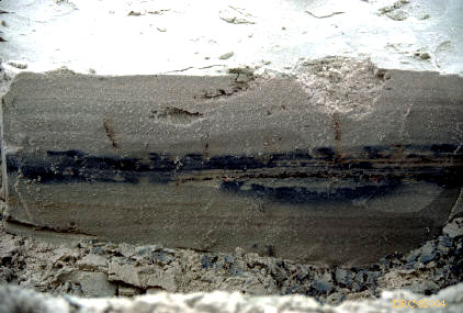
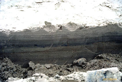
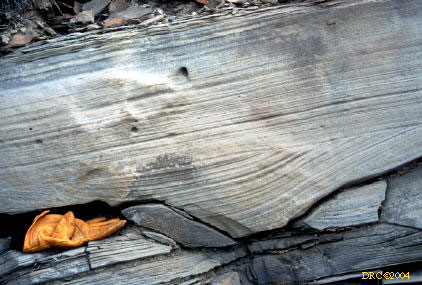
peat from burned-out swamp
-
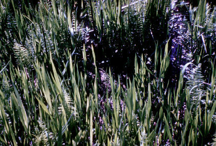
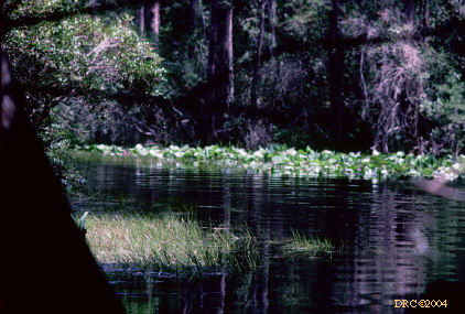
water plants
-
boats in the lake
-
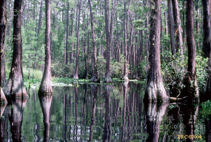
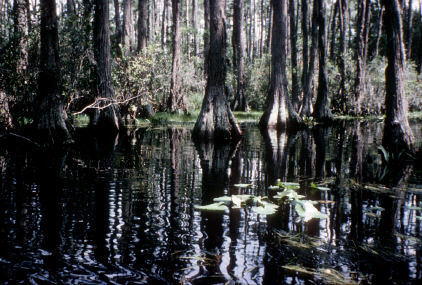
hardwood swamp, submerged
-
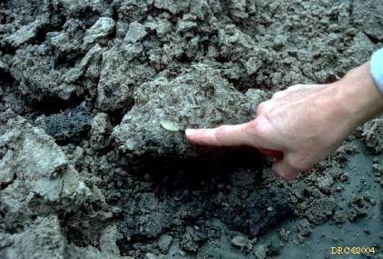
hand core of peat from Minnie's Lake
-
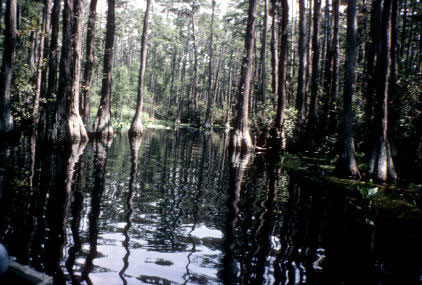
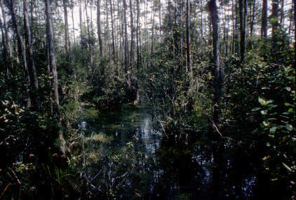
waterway through swamp
-
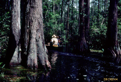
following the boat through the swamp
-
lead boat
-
waterway through swamp
-
following the boat
-
from clearing to swamp again
-
going through another small clearing
-
easy boating so far
-
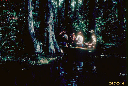
following the lead boat, getting darker
-
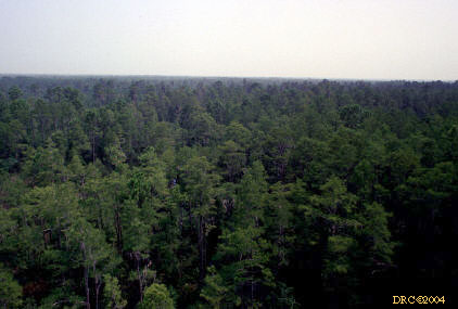
in the hardwood swamp
-
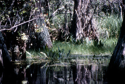
plants at edge of hardwood swamp
-
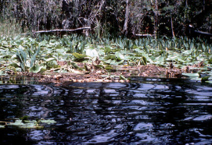
floating plants
-
following the wake
-
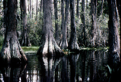
hard woods and dark water
-
swamp
-
boat path
-
lead boat hard to see
-
Okeefenokee Swamp
-
negotiation waterway with small john boats, cypress
trunks, same image (poor copy)
-
following the boat,
same image, poor copy
-
Art Cohen in boat,
same image, poor copy
-
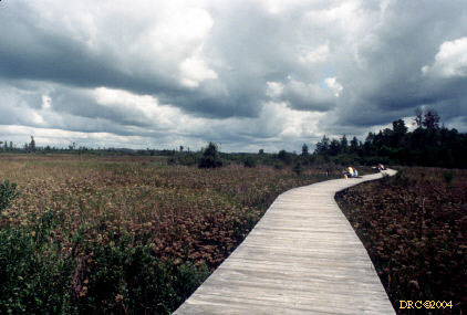
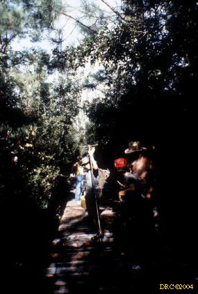
taking a break at a raised stand along the canoe
trail, it's elevated to keep alligators away
-
alligator
-
plant life
-
our stop
-
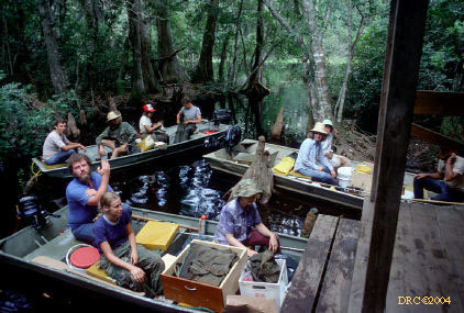
from boat to coring sites
-
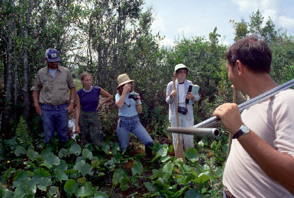
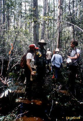
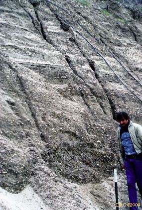
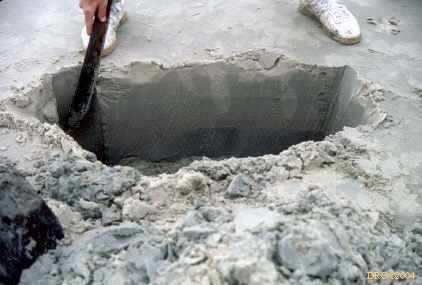
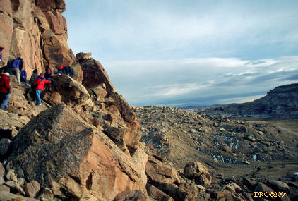
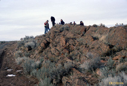
at one of the coring sites, every 100 meters
-
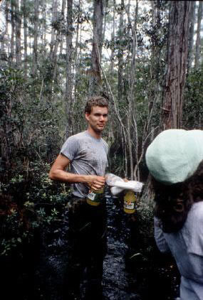
gatorade man
-
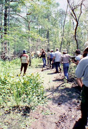
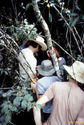
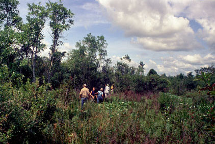
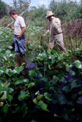
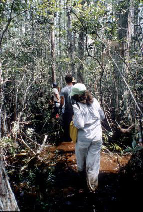
walking to next coring site
-
walking
-
walk through hardwood swamp
-
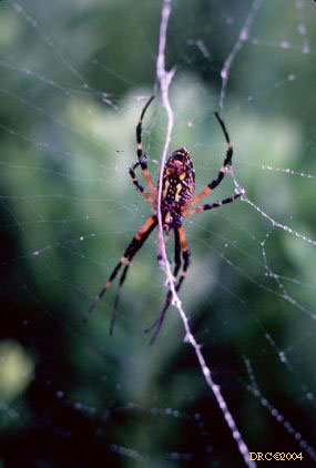
Garden spider (Argiope), one of many we encountered
-
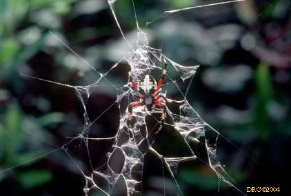
Garden spider (Argiope), same type
-
Garden spider (Argiope)
-
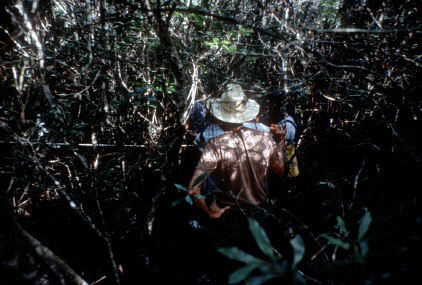
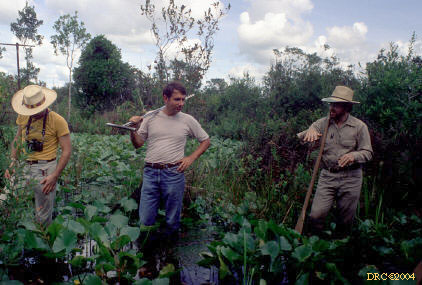
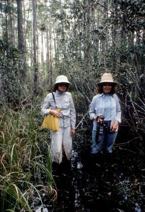
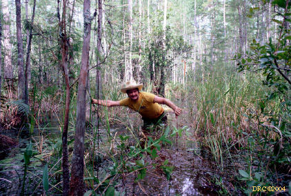
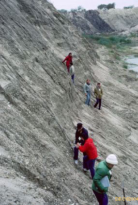
Jim Cobb walking to next coring site
-
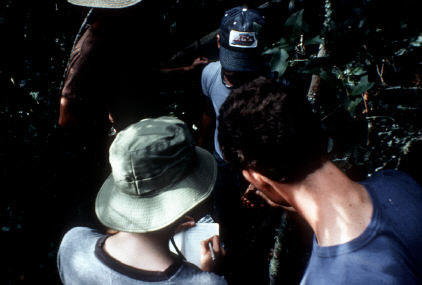
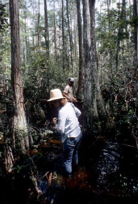
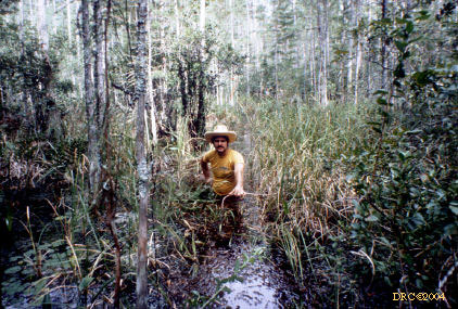
Jim walking through swamp on our sampling traverse
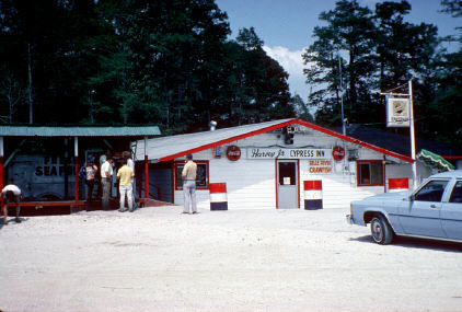
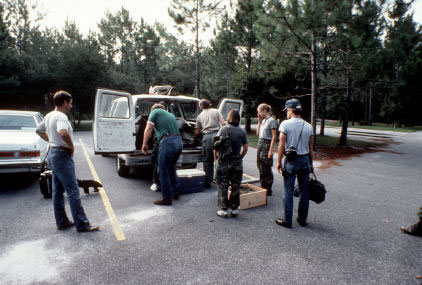
1982, September, coming back from trip to McMasters University in Canada,
conference on coal
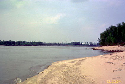
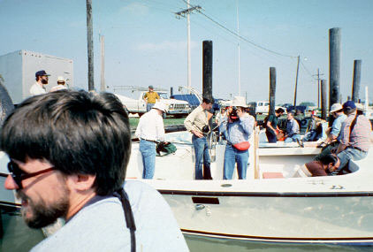
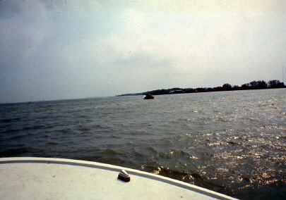
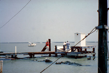
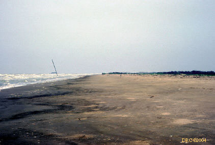
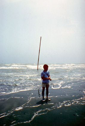
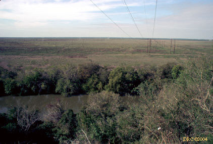
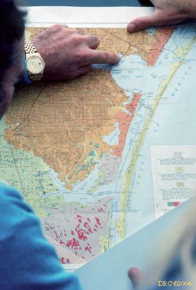
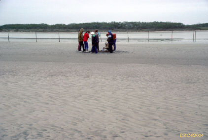
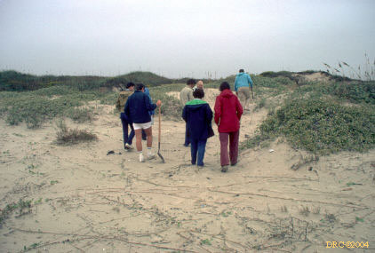
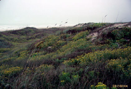
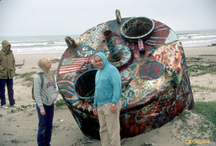
1986, Coastal sedimentation near Corpus
Christi, Geological Society of America, San Antonio meeting
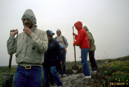
Long drive from San Antonio to Corpus Christi; first couple of stops are
breaks. Stop number sequence is out of order in our trip.
-
Stop 1?
-
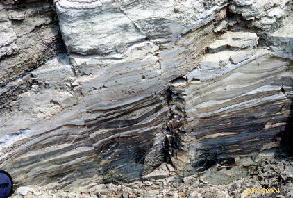
ash-filled channel in the Frio Formation. Ash
from Oligocene volcanics far to the west in the Trans Pecos. Ash is water
transported.
-
same place
-
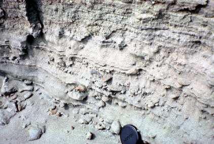
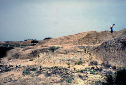
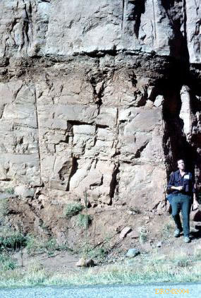
Stop 2, p. 39, gravel deposits, mammal fossils
have been found in gravel pit
-
Stop 1, p. 38, don't remember what it was, I do
remember standing on fire ant mound though
-
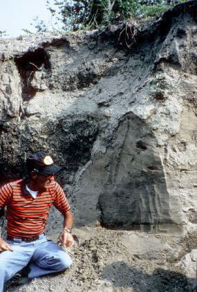
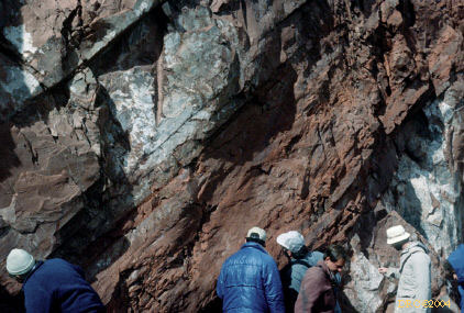
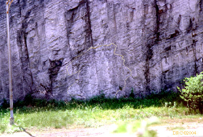
Clarkwood fault, active growth fault, mile 9.5,
p. 35 (displacement in fence and road)
-
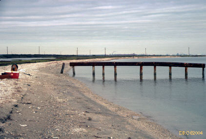
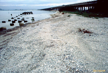
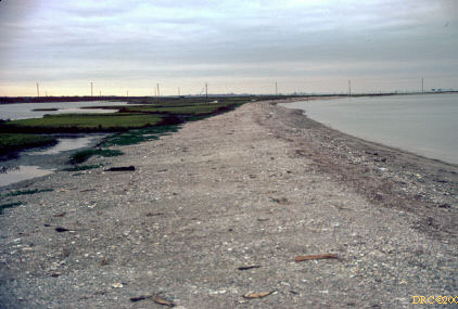
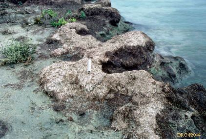
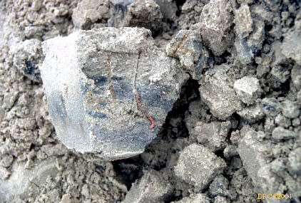
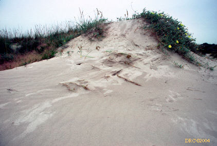
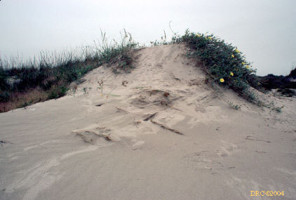
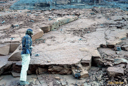
Indian Point, near Portland, oyster reef and sand
spit, mile 5.3, p. 13, fig. 1, p. 14
-
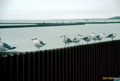
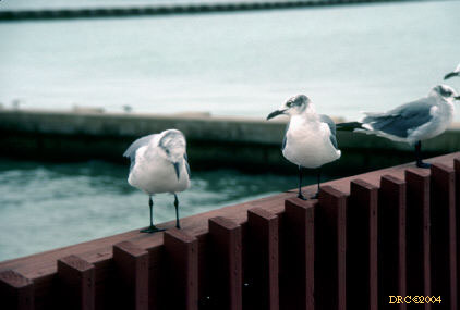
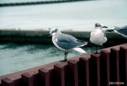
sea gulls outside Holiday Inn-Emerald Beach, where
we stayed
-
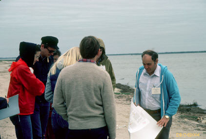
field trip leader
-
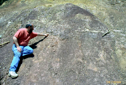
finger pointing to oyster reef
-
contact between two sediments
-
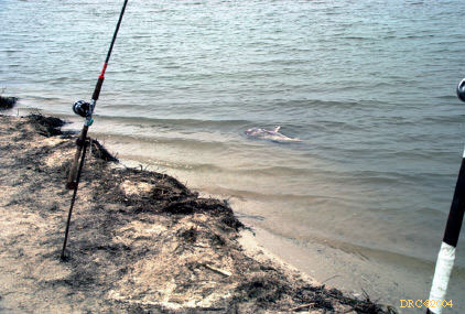
Redfish caught from spit in Baffin Bay
-
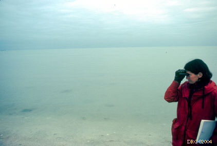
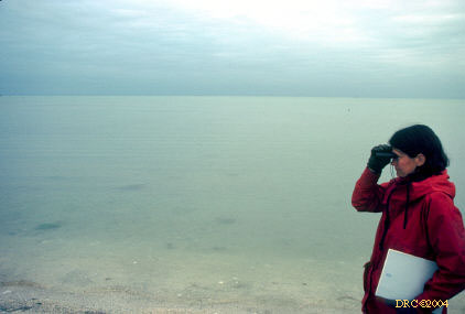
view from estuary?
-
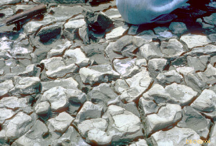
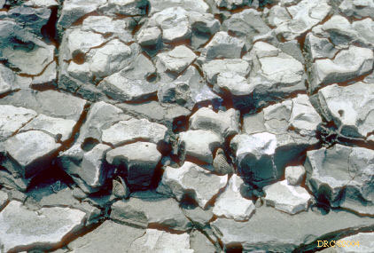
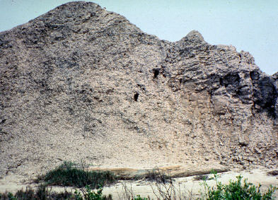
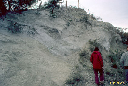
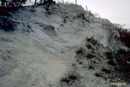
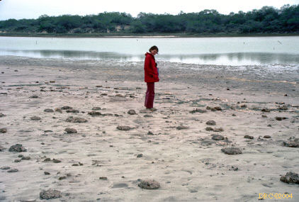
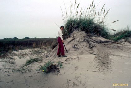
Stop 6, clay dune, south of Loyola Beach, p. 40
-
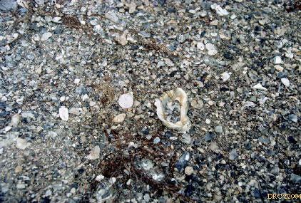
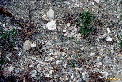
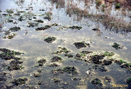
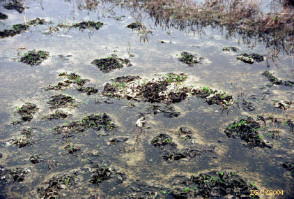
shell concentration, low diversity, high abundance
of pelecypods, Baffin Bay
-
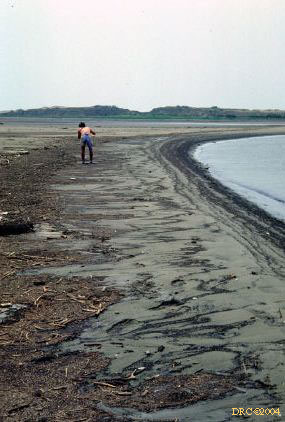
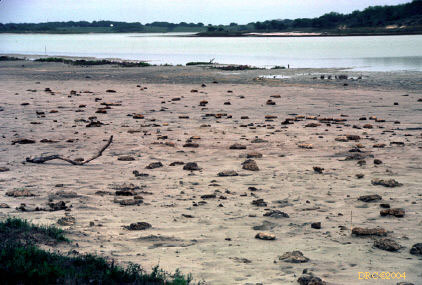
accumulation of seaweed, allocthonous, near Stop
5, p. 40
-
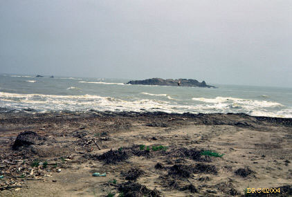
Stop 4: we went through the King Ranch to get to this stop
-
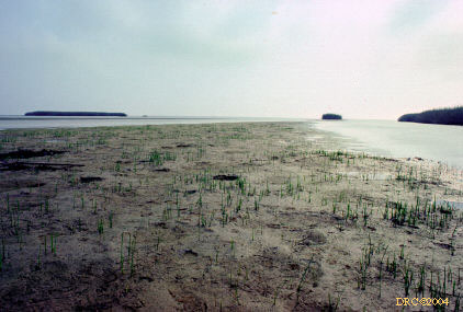
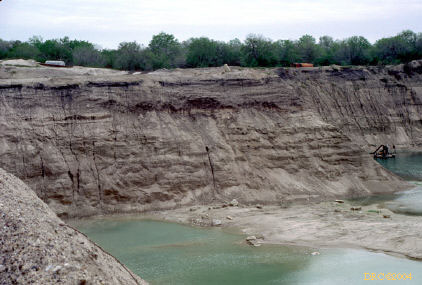
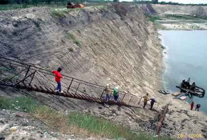
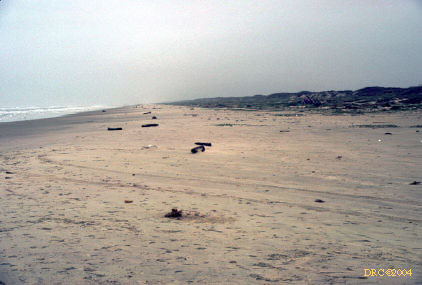
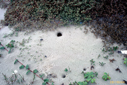
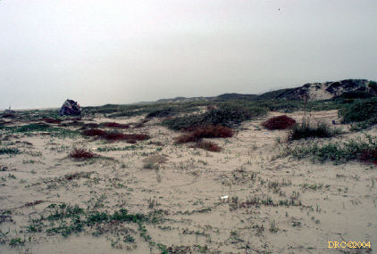
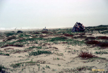
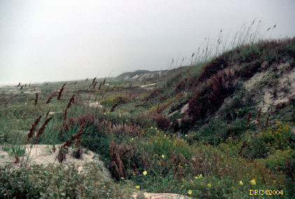
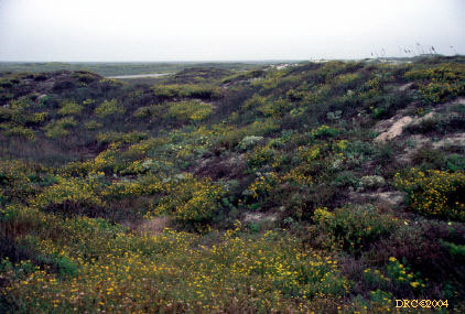
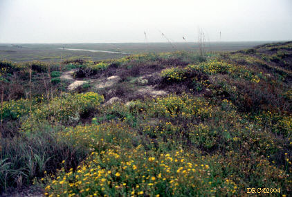
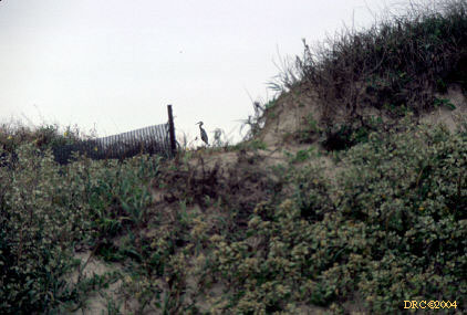
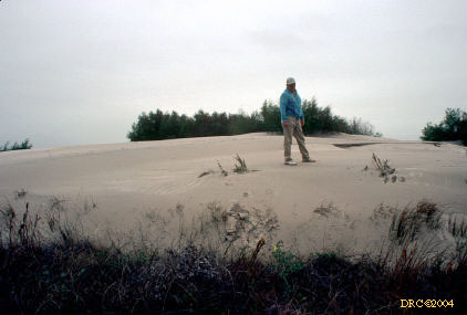
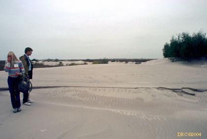
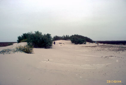
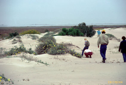
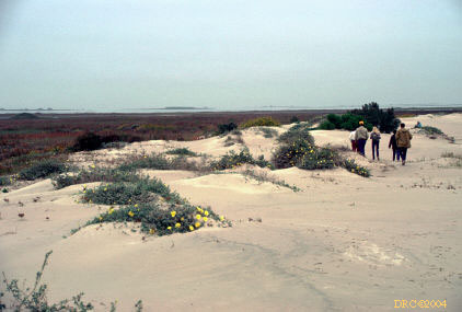
Stop 5, Padre Island National Seashore, p. 24-29
-
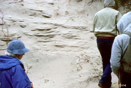
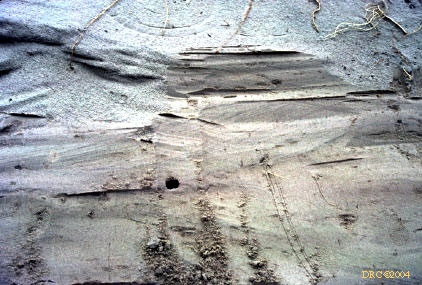
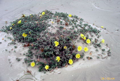
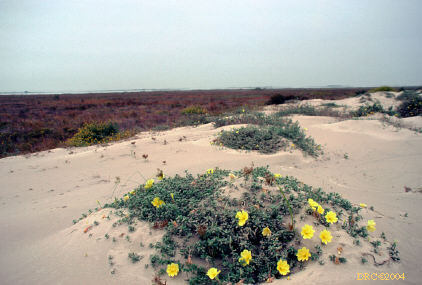
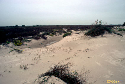
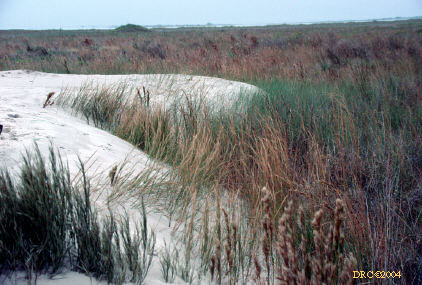
Stop 6 (B), active aeolian dune field, p. 25-29
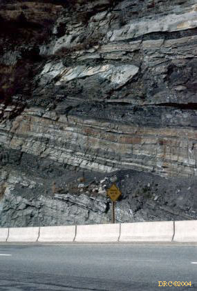
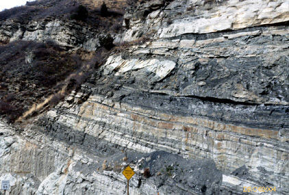
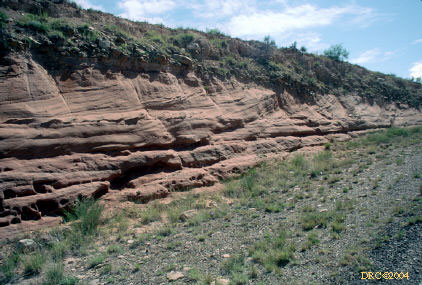
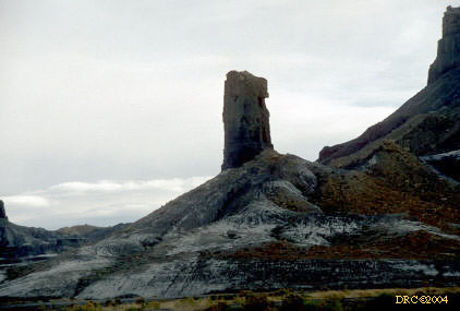
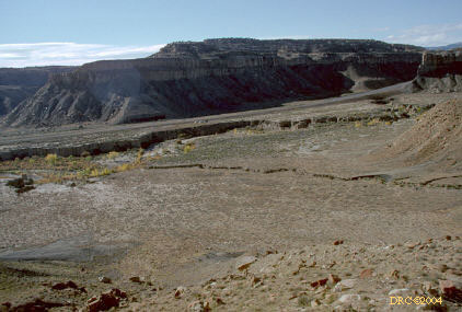
1988, Carboniferous Eagle Valley Evaporites,
Geological Society of America, Denver meeting
-
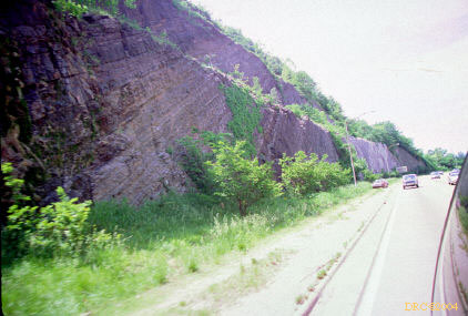
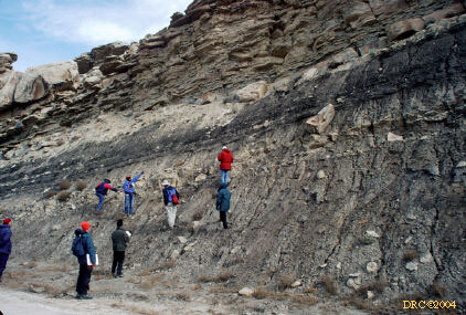
Stop 2; Minturn Formation and shales of the Belden
Fm., five depositional cycles here, Gilbert-type and fan delta deposition,
p. 163
-
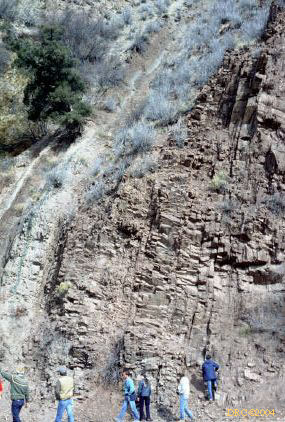
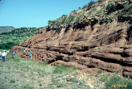
Stop 3: Minturn Formation, near Vail, I-70, p.
164
-
same stop, lowest sandstone is part of cycle B,
everything else is another cycle, p. 164-165
-
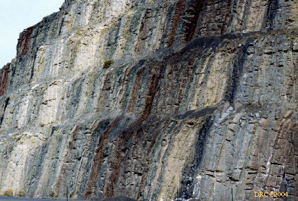
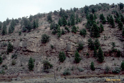
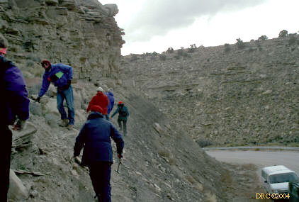
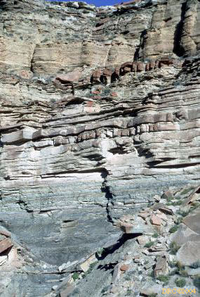
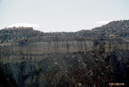
Stop 4, Eagle Valley Evaporite, this is the uppermost,
non-evaporative part of the sequence , p. 166
-
same stop, non-evaporative clastics
-
Stop 4, up is to the left, the second cycle starts
at the top of the white layer just above the dark shale band at the right,
same as fig. 13, p. 166 in the guidebook.
-
same stop
-
explanation for Stop 4
-
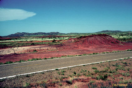
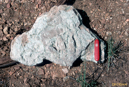
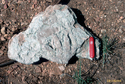
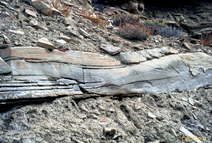
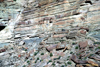
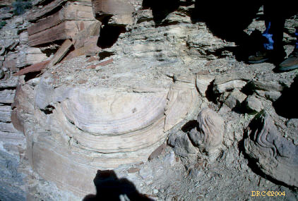
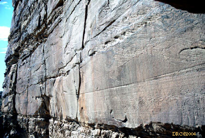
Stop 5: laminated gypsum of the Eagle Valley
Evaporite, p. 167-168
-
Stop 6?: lower half is white sandstone of the
Schoolhouse tongue of the Weber Sandstone
-
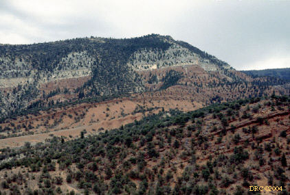
Stop 7, view, upper white sandstone is the Entrada
Sandstone, lower reddish unit is Chinle
-
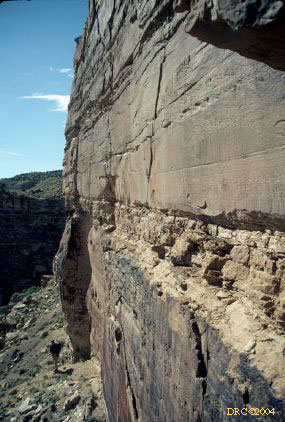
Stop 7: Maroon Formation, eolianite facies, upper,
darker sandstone is fluvial, lighter sandstone is eolianite, p. 169
-
same place
-
Stop 7: Maroon Formation, disturbed bedding, fluvial
facies
-
same stop, Schoolhouse tongue of Weber Sandstone,
p. 17
-
eolianite facies, Maroon Formation, same stop
-
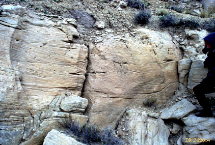
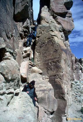
Stop 8: upper part of Maroon Formation
-
Stop 9: Maroon Formation, stacked fluvial channel
deposits, green trees in upper part are State Bridge unit, everything else
is Maroon Fm., p. 172
-
same stop, geologist's feet at level of
eolian-pedogenic zone, Maroon Formation
-
same stop, fluvial sandstone, Maroon Formation
-
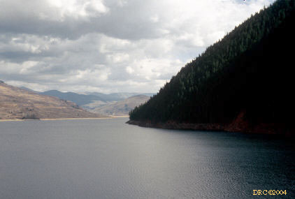
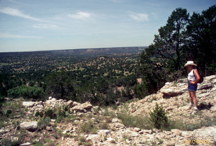
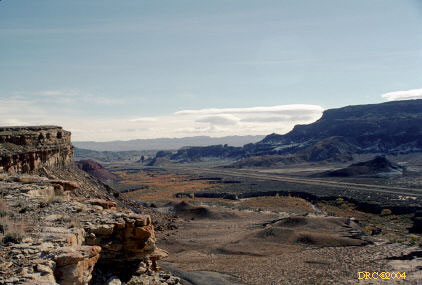
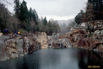
Stop 10: Ruedi Reservoir, view from stop
-
lunch stop above reservoir, Eagle Valley Evaporite
diapir
-
Stop 11: Fryingpan Member, Maroon Formation, eolian
dunes, 30-meter-thick crossbed set, p. 172-174
1990, Coal-bed methane conference, Tuscaloosa,
Alabama, [July 1990 and May 1999]
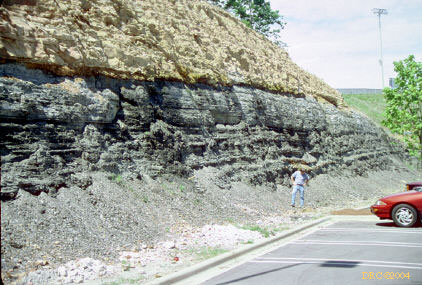
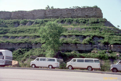
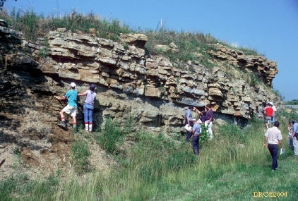
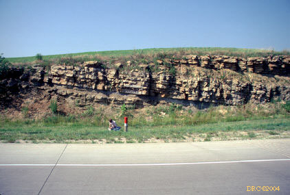
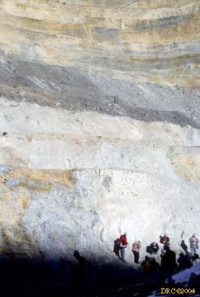
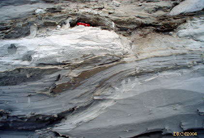
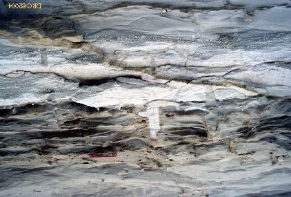
1991, Predictive Stratigraphic Analysis meeting
and field trip, Lawrence, Kansas
-
Stop 1: Vilas Shale and Stanton Limestone, Vilas
from knees on down and Stanton from knees up to top
-
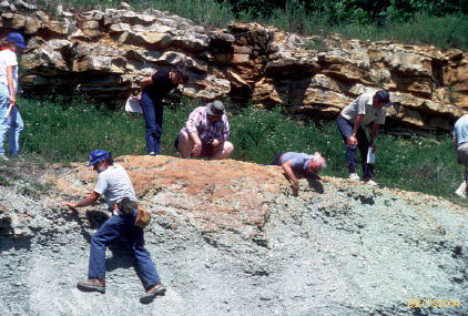
Stop 2: Chanute Shale to Stanton Limestone, Argentine
Limestone at top, Lane Shale from base of Argentine down to bench at mid-tree
level, Iola Limestone exposed on lower bench, Chanute Shale from base of
Iola down to road level.
-
Stop 3: Bonner Sp. Shale and Plattsburg Limestone,
p. 62, Merriam Limestone Member in upper half (collected brachiopods from
here), Bonner Springs Shale in lower part (collected myalinids from here)
-
Stop 3: continued, p. 62, Merriam Limestone in
upper part and Bonner Springs in lower part
-
Stop 3: Sandstone channel in Bonner Springs Shale,
p. 62, Merriam Limestone in uppermost bench, sandstone lense (channel) eroding
down into shale.
-
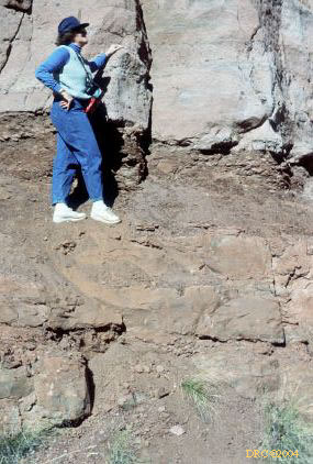
Stop 4: paleosol on Bonner Springs Shale, p. 74,
Spring Hill Limestone at top, covered interval at mid-level, paleosol in
Bonner Springs in lower exposure. John Nelson at paleosol.
-
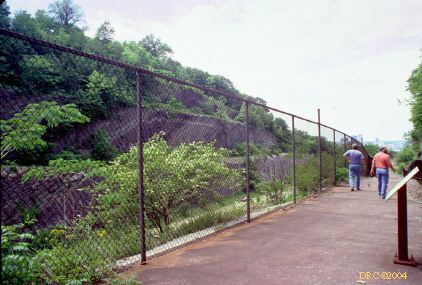
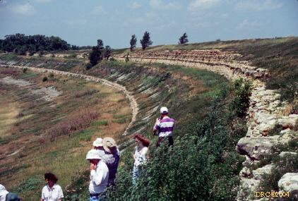
Stop 6: Clinton Lake Spillway, Upper Lawrence
Shale and Oread Limestone, Plattsburg Limestone is in the upper exposure,
Oread from there down to Toronto Limestone (lower steep exposure), Lawrence
Formation in lower gentle slope.
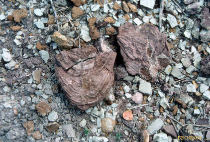
-
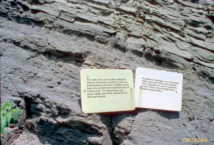
Stop 6: cont., ichnofossil, large, cylindrical
nested structure, from Lawrence Formation. Could this be a lungfish burrow?
-
Stop 7: Lonestar Lake Spillway, Upper Lawrence
Shale, p. 89, Upper Lawrence Shale with tidal rhythmites from top down through
Phil Heckel's head (striped shirt), thin Upper Williamsburg coal close to
Phil's torso level.
-
Stop 7: continued, Lawrence Formation (part below
Williamsburg coal)
-
Stop 9?: Lecompton Limestone and Kanwaka Shale,
fusulinid-bearing limestone
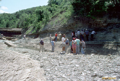
1997, Dinosaur Dig, Kentucky Paleontological
Society and Adrian Hunt, Tucumcari, New Mexico
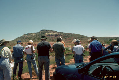
-
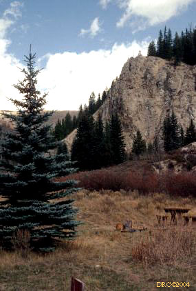
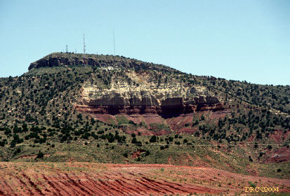
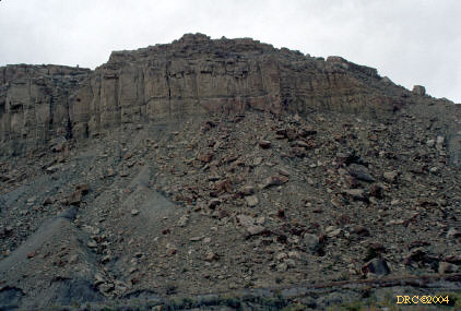
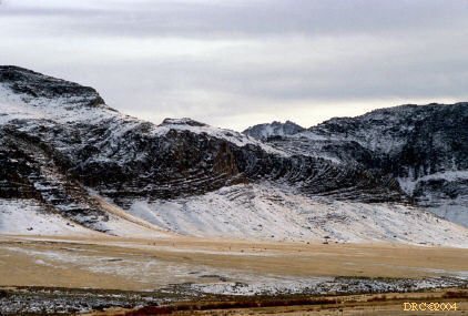
Tucumcari Mountain, New Mexico
-
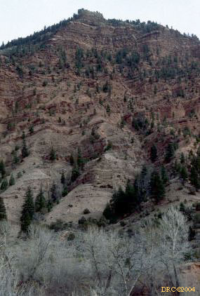
Tucumcari Mountain, uppermost cliff is in Mesa
Rica Sandstone (Cretaceous, K), covered zone comprised of Tucumcari (K),
Morrison (Jurassic, J) and underlying Summerville (J), white part of main
cliff is the Entrada Sandstone (J), the red is Redondo Sandstone (Triassic,
Tr), and the underlying red shale and lower covered zone is Bull Canyon (Tr)
-
canyon carrying the tailwater of Conchas Lake,
rocks are the Lower Chinle Group, including Trujillo and Santa Rosa Formations
-
large crossbeds in sandstone, stop on way back
from Conchas Lake
-
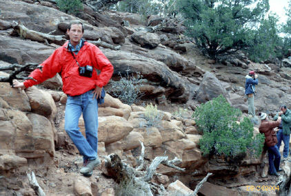
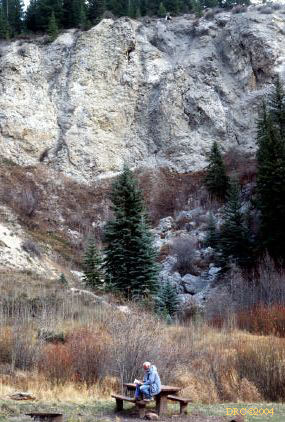
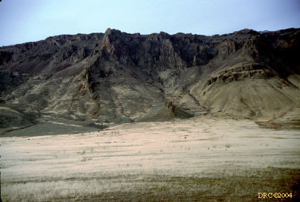
Apache Canyon site, top of canyon, white limestone
is Ogallala Limestone (Tertiary), brown sandstone is Mesa Rica (K), Ann Watson
-
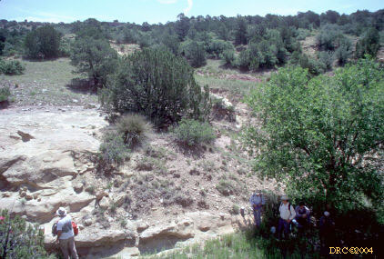
hominids clustering under sparse shade, white
may be Entrada Sandstone
-
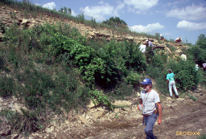
hiking down to the site, same place
-
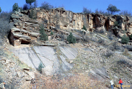
vertebrate site, Redonda Formation, Apache Canyon
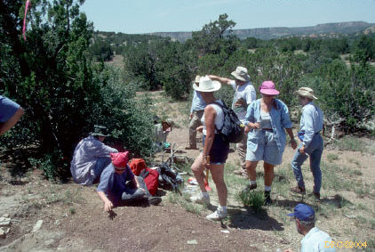
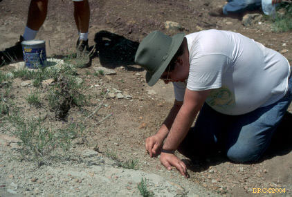
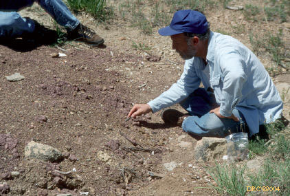
-
looking for bones
-
picking through loose rock for bone fragments
-
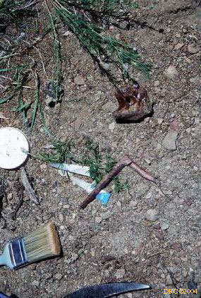
ventral rib of phytosaur ("L"-shaped fossil)
-
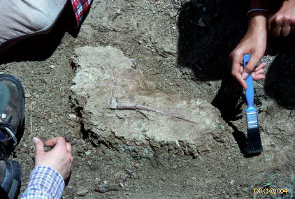
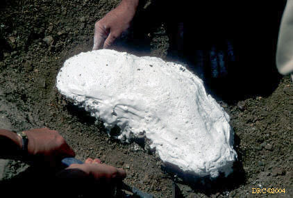
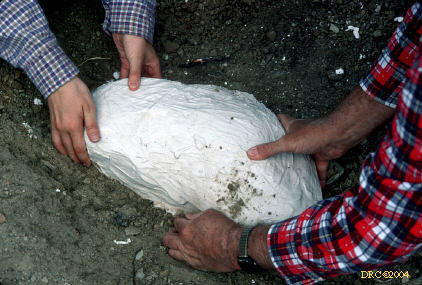
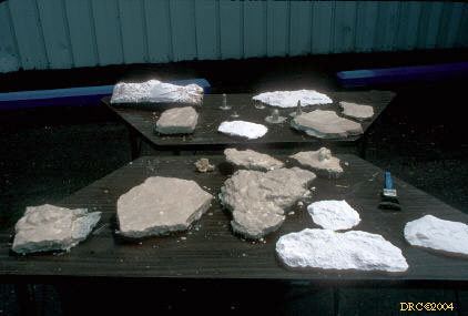
ventral rib of phytosaur, another specimen, preparing
for a plaster jacket; and you have to carry the plaster and water with you
-
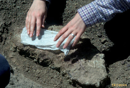
applying wet paper towels, for plaster jacket,
rib fossil
-
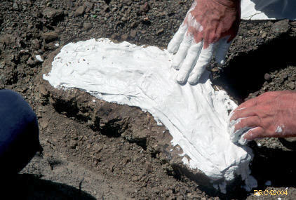
applying newspaper strips covered with plaster
-
more plaster and paper
-
more plaster and paper
-
undercutting rock slab a bit
-
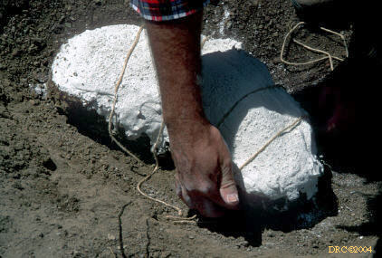
adding cord for strength
-
more plaster and paper
-
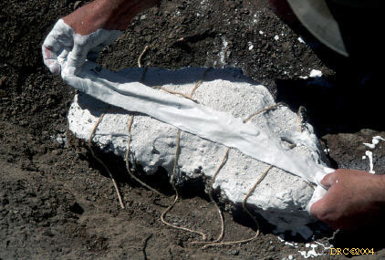
plaster and paper have been applied around the
edges
-
undercutting and turning over
-
turned over, bottom now ready for plaster
-
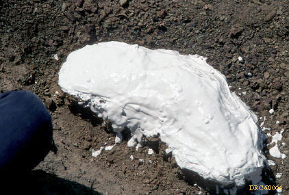
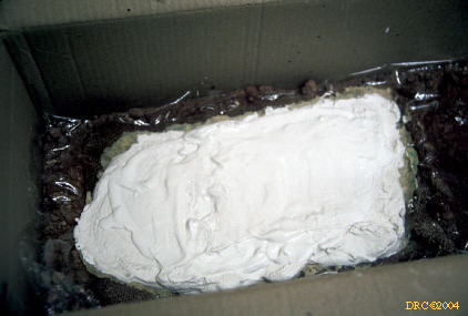
final stage of jacket, ready for transportation
-
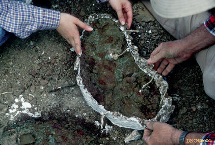
removing waste rock from underside of jacket
-
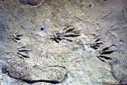
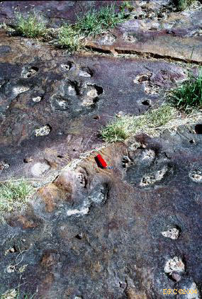
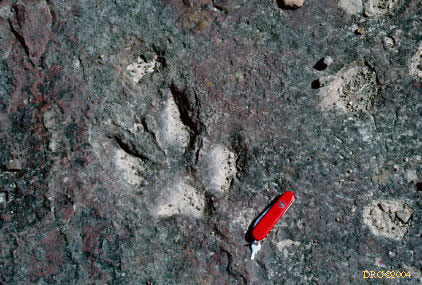
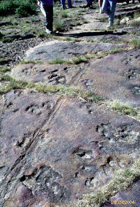
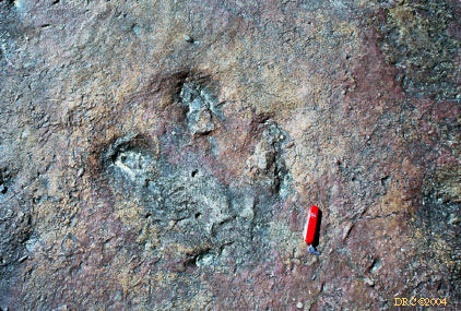
Pseudotetrasauropus foot print fossil found
by Dan Phelps, Redonda Formation, foot cast is in lower part of rock
-
same thing, another view
-
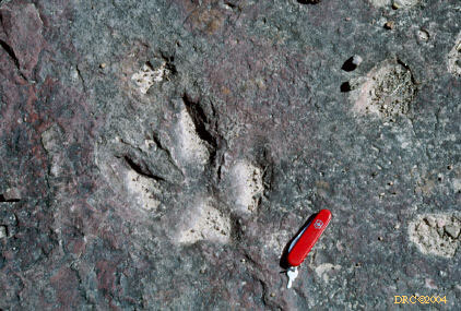
Rhynchosauroides amphibian foot print that
I found, Redonda Formation
-
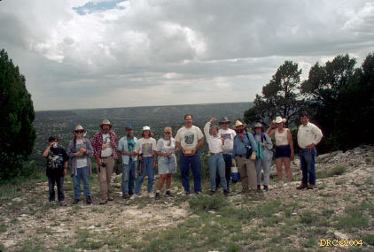
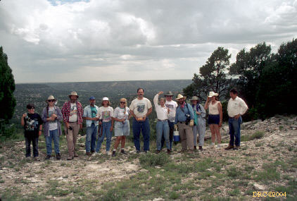
group back up on top of Apache Canyon
-
another view of the group
-
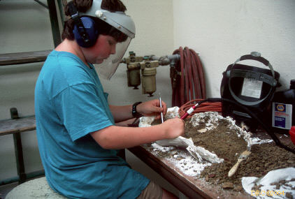
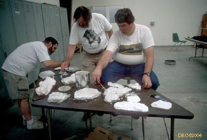
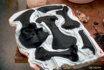
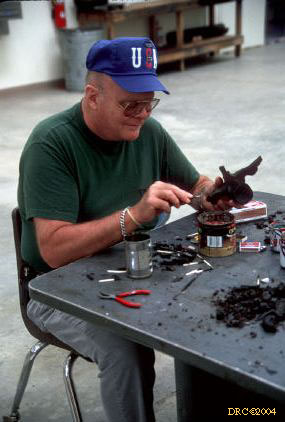
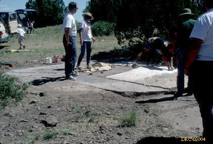
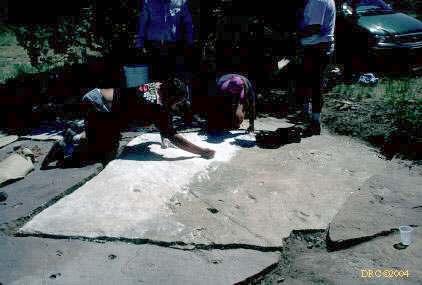
Lab: making latex molds and plaster casts of
footprints
-
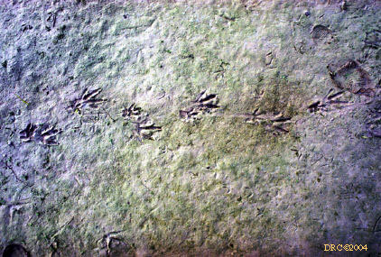
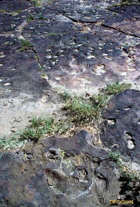
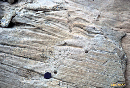
Mosquero Creek site, Mesa Rica Sandstone (K),
Caririchnium iguanodontid track #30
-
drawing of aetosaur by Fenton and Fenton, not
our copyright
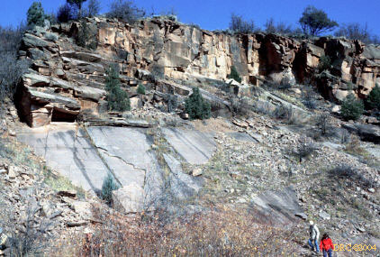
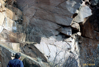
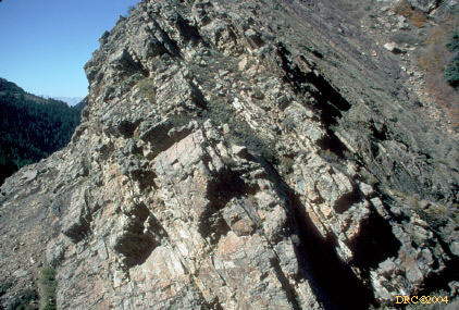
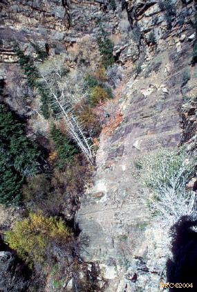
1997, Tidalites in Big Cottonwood Canyon,
with Al Archer and Steve Greb, during Geological Society of America Salt
Lake City meeting
-
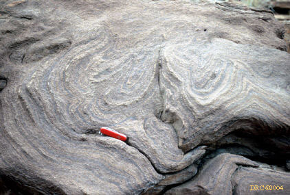
Proterozoic mudcracks
-
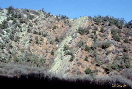
road up Big Cottonwood Canyon
-
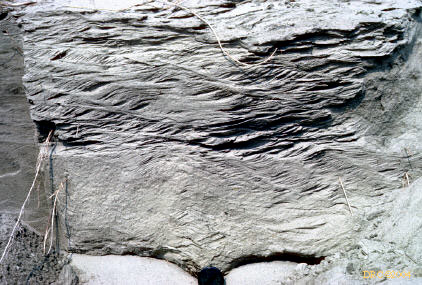
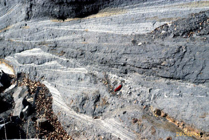
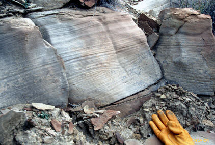
Big Cottonwood Formation tidalites, Proterozoic
-
same thing, another view
-
more exposures
-
Big Cottonwood Formation, Proterozoic
-
hike up hill, same formation
-
view from hill
-
butterfly
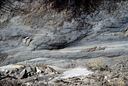
-
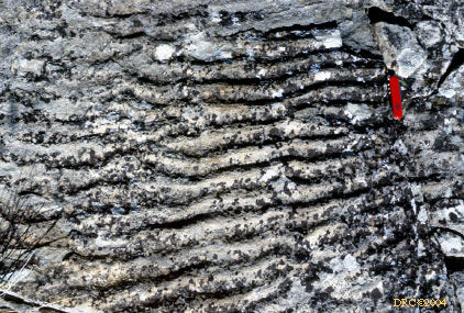
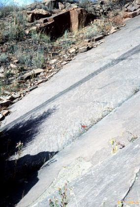
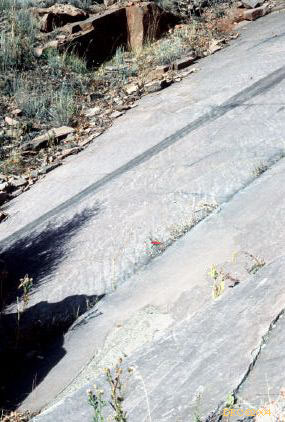
tidalites, Big Cottonwood Fm., camera tilted for
level view of dipping strata, exposure up hill
-
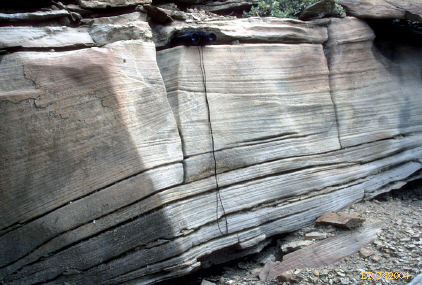
tidal rhythmite, same place
-
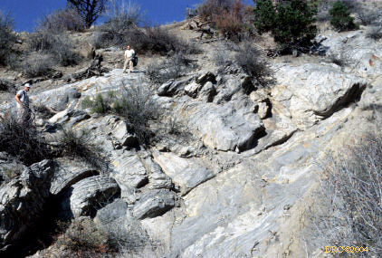
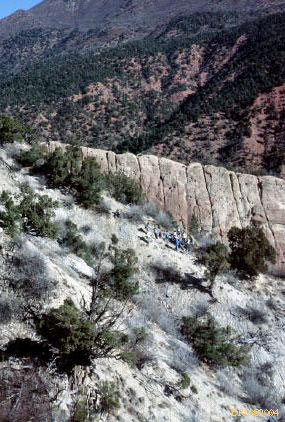
everything is Big Cottonwood Fm., upper 2/3's
is sandstones with channels, lower 1/3 is paleosols, mottled red and green
shales, Al Archer for scale.
-
same formation, middle resistant rock comprised
of sandstones with channels, upper right, of paleosols and tidalites, lower
left are paleosols
-
same formation, uppermost rock is sandstone, mid-level
sandstone and overlying shale is coarsening upward sequence of tidalites,
sandstone has channels, lower part comprised of paleosols, camera tilted
for level view of dipping strata
-
same formation, uppermost rock is sandstone, most
of middle comprised of shales and tidalites, lowermost unit is sandstone,
camera tilted for level view of dipping strata
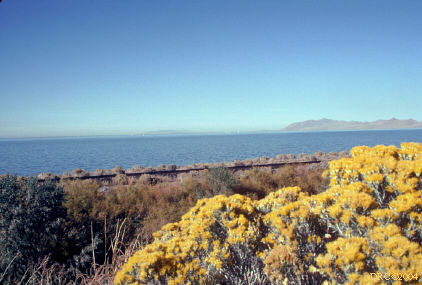
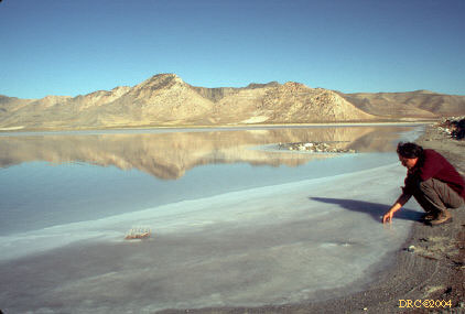
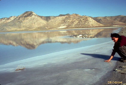
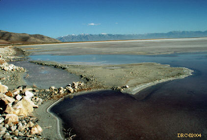
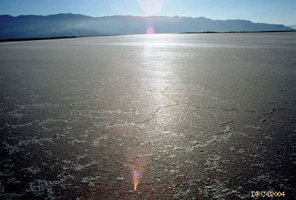
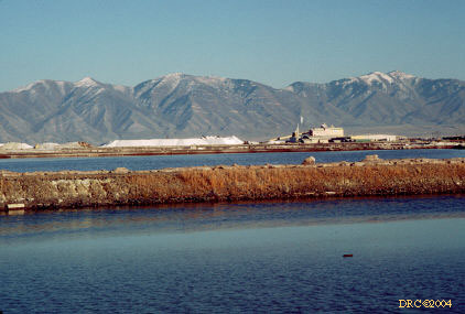
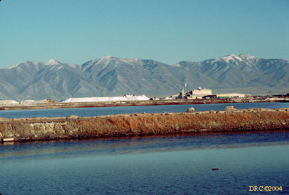
1997, Evaporitic salt deposits at Great Salt Lake,
with Al Archer and Steve Greb, during Geological Society of America, Salt
Lake City meeting
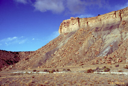
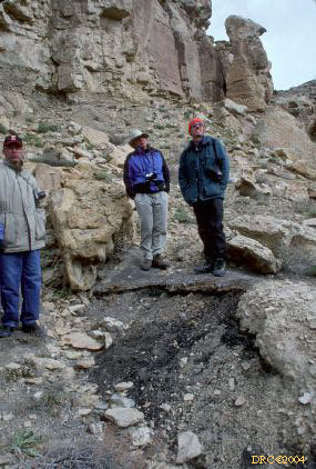
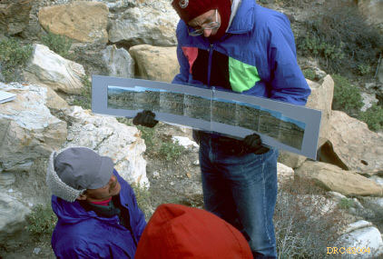
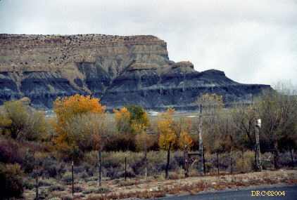
1997, Cretaceous Ferron Sandstone of Utah, Field
Trip 25, Geological Society of America, Salt Lake City meeting
-
Day 1, Stop 1: mouth of Dry Wash
-
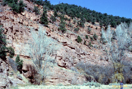
Stop 1: another view, upper cliff is Ferron Sandstone
(Kfz), mid-level sandstone is the Clawson, shale in between is the Washboard,
lower unit is Tununk Shale
-
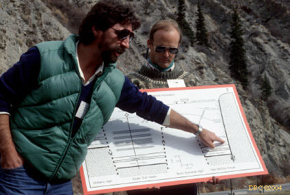
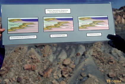
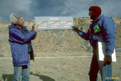
diagram showing stratigraphic and depositional
model
-
field trip leaders, Paul Anderson on left, Tom
Chidsey on right
-
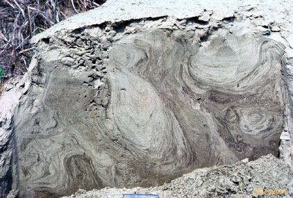
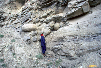
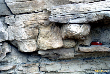
Stop 2: Dry wash, looks like deformed bedding
or bouldery flow-rolls
-
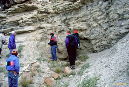
same stop
-
same stop area
-
same stop area
-
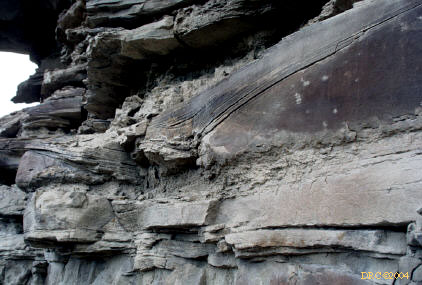
same stop, upper sandstone is Kf-3 (it contains
a tidal channel too), underlying dark shale represents swamp environment,
underlying gray shale represents bay fills, next cycle (Kf-2) is in covered
zone at base of outcrop
-
same place
-
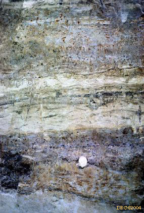
same place, parallel laminations in sandstone,
also small channels
-
same place, more parallel laminations and small
channels
-
more channels, same sandstone
-
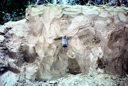
deformed bedding, liquifaction?
-
another channel
-
swale and hummock?
-
cross laminated sandstone
-
sandstone with burrows?, same stop
-
lunch stop, not in guidebook, sandstone with
underlying slump structures
-
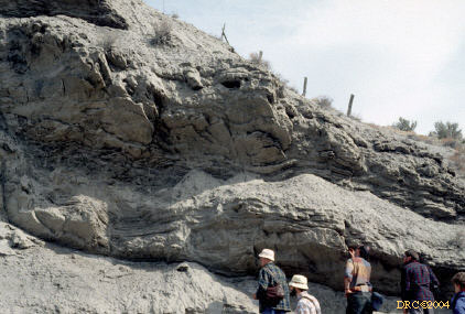
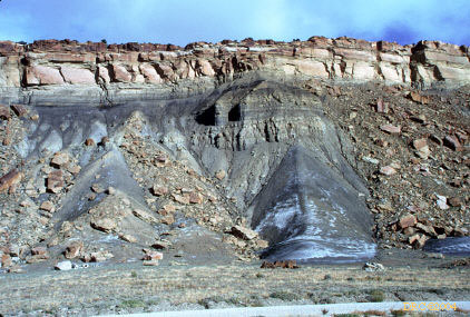
Stop 3: Miller Canyon, coal with tonstein (at
feet)
-
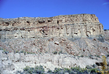
Ferron Sandstone at cliff, Tununk Shale below
cliff
-
Stop 6: Willow Springs Wash, "County Line channel"
in Kf-1 sandstone, center and left part are deep part of channel, right side,
channel rides up to original level; guidebook fig. 11, p. 148
-
Day 2, Stop 1: Ivie Creek hike
-
Ivie Creek hike, Clinoform facies of Kf-Iv-a
-
same stop, punctuated coarsening-upward sequence
-
same stop, note sharp bases of the sandstone beds
and one contorted bed
-
view of hike from Stop 1
-
deformed bedding
-
crossbedded sandstone, note core holes from sandstone
study
-
view from top of canyon at Stop 1
-
same stop, view of sandstone channel in opposite
wall of canyon, thicker sandstone is Kf-2, underlying sandstone is Kf-1;
guidebook fig. 10, p. 147
-
starting climb back down canyon
-
crossbeds in sandstone cliff wall
-
cliff wall, same place
-
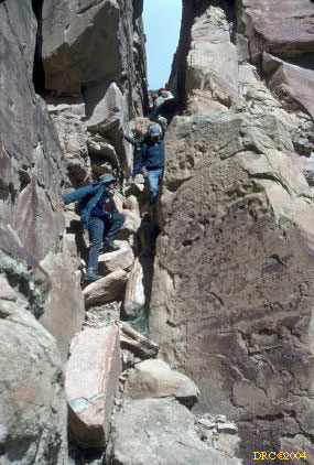
climbing down through crack
-
climbing down, close-up
-
view part-way down
-
same stop, Ferron Sandstone
-
part of the group, same stop
-
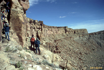
view of the stop from the road
-
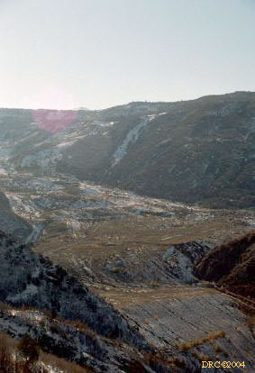
huge landslide (filling part of valley) from overlook
on highway, road back to Salt Lake City
-
another view
-
view of mountain on way back, which mountain?
-
same mountain
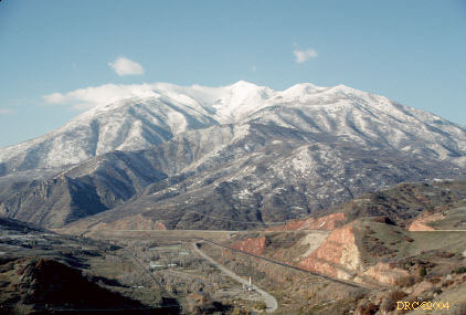
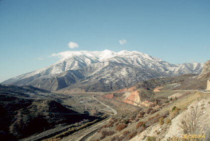
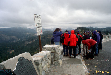
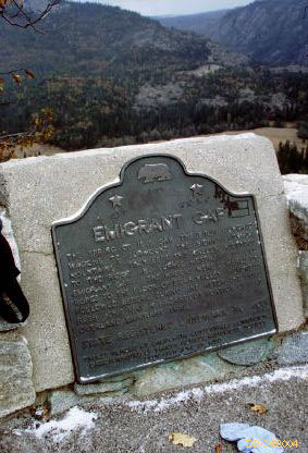
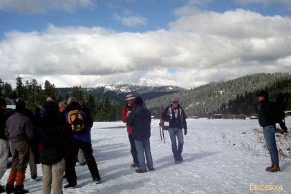
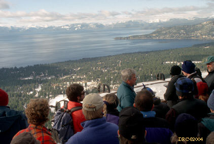
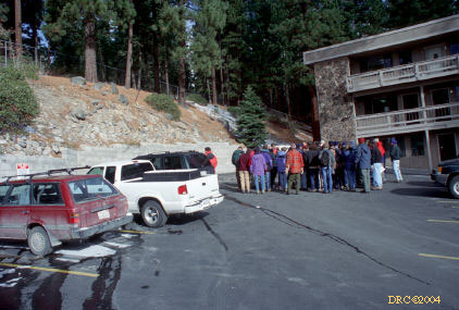
2000, Northern Sierra Nevadas, November
10-12, Geological Society of America, Reno, Nevada meeting
Hanson, R.E., Girty, G.H., Harwood, D.S., and Schweickert,
R.A., 2000, Paleozoic subduction complex and Paleozoic-Mesozoic island-arc
volcano-plutonic assemblages in the northern Sierra terrane, in Lageson,
D.R., Peters, S.G., and Lahren, M.M., eds., Great Basin and Sierra Nevada:
Boulder, Colorado, Geological Society of America Field Guide 2, p.
255-277.
-
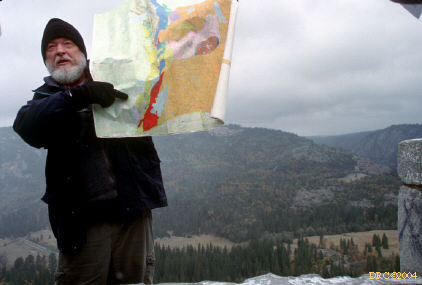
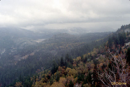
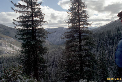
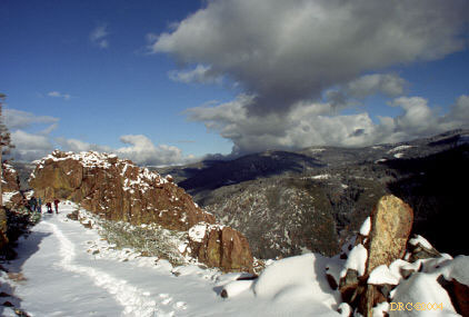
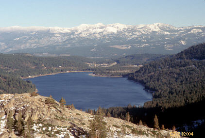
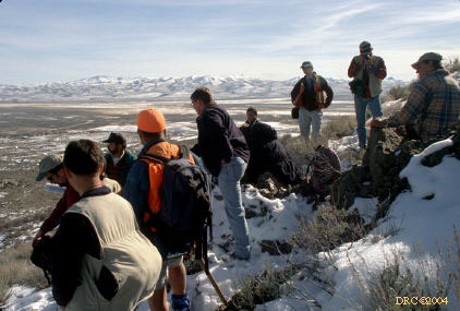
Stop 1-1, Overview at Emigrant Gap
-
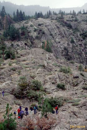
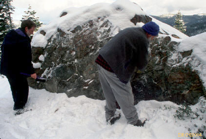
Stop 1-2A, Shoo Fly Complex
-
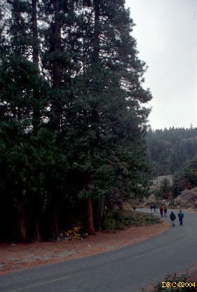
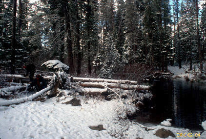
hike to stops
-
hike to stops
-
Stop 1-2B, Emerald Pool, Black Oak Springs quartzite
and marble at ductile shear zone
-
same stop, Black Oak Springs rocks near ductile
shear zone
-
same stop, note rotated rock
-
same stop, note wollastinite (white) in ductile
shear zone
-
Stop 1-4, Sailor Canyon Formation
-
Stop 1-5, epidotized (green) rock
-
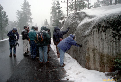
Stop 3-2, Jackson Meadow Reservoir, English Mountain
in back, these Day-3 stops were done on Day 2, couldn't do Day-2 stops due
to too much snow
-
hike to Stop 3-4, to Sierra Buttes
-
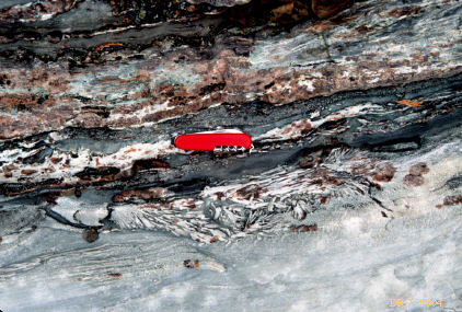
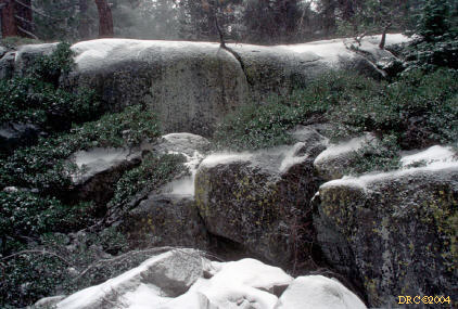
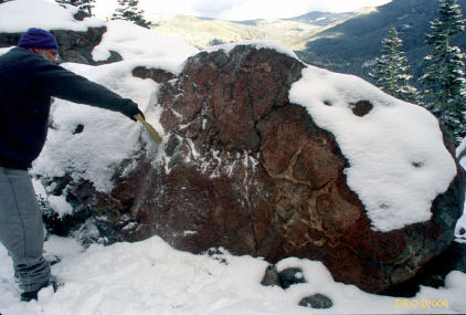
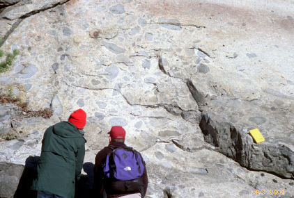
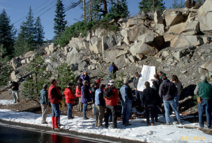
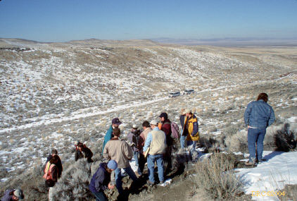
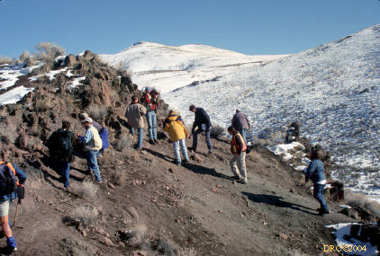
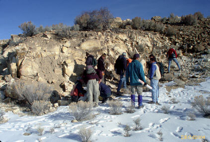
unscheduled stop, all the rest of the photos are
from unscheduled stops because there was too much snow for Day-2 stops; note
abundant enclaves in batholith, probably desorbed or remelted dike
-
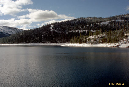
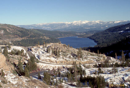
Donner Pass area
-
same area, drive back to Reno
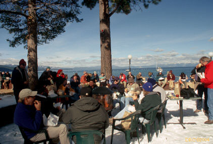
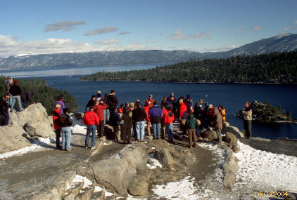
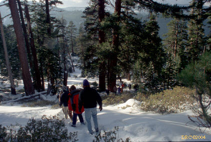
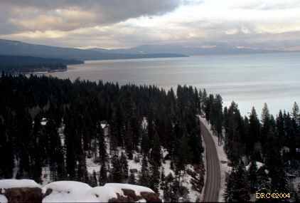
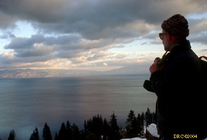
2000, Lake Tahoe, November 15, Geological Society
of America, Reno, Nevada meeting
Schweikert, R.A., Lahren, M.M., Karlin, R., Howle, J., and
Smith, K., 2000, Lake Tahoe active faults, landslides, and tsunamis,
in Lageson, D.R., Peters, S.G., and Lahren, M.M., eds., Great Basin
and Sierra Nevada: Boulder, Colorado, Geological Society of America Field
Guide 2, p. 1-22.
2000, Northeastern Nevada, November 18-20, Geological
Society of America, Reno, Nevada meeting
Henry, C.D., and Ressel, M.W., 2000, Interrelation of Eocene
Magmatism, extension, and Carlin-type gold deposits in northeastern Nevada,
in Lageson, D.R., Peters, S.G., and Lahren, M.M., eds., Great Basin
and Sierra Nevada: Boulder, Colorado, Geological Society of America Field
Guide 2, p. 165-187.
-
Stop 1-1, Mack Creek dacite dikes
-
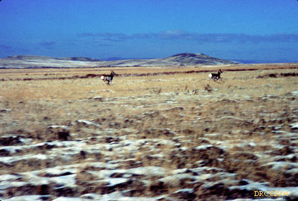
Pronghorn antelope on way to Stop 1-2
-
Stop 1-2, Bob Creek, Bob Creek rhyolite lava
-
Stop 1-3, view from stop
-
hiking on way to Stop 1-4, vehicles couldn't make
it up hill
-
Stop 1-4, Elko Formation
-
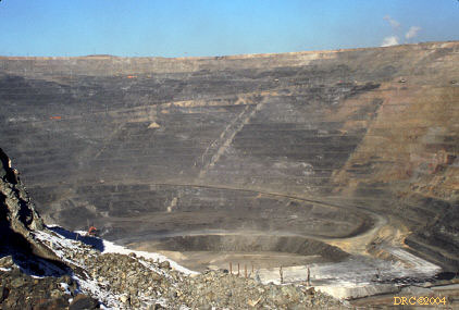
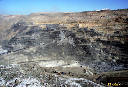
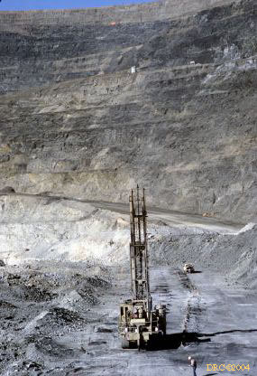
Stop 2-1, "The Beast" gold pit
-
Stop 2-2, Genesis Pit (gold)
-
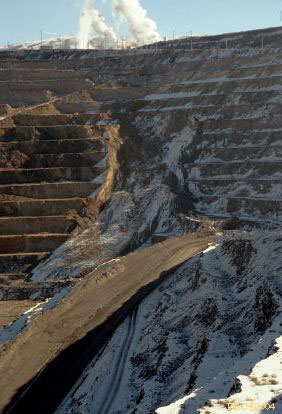
Stop 2-4, another pit, note slope failure
-
Stop 2-3, Eocene tuffaceous channel deposits
-
Stop 3-1, overview of Independence Valley
-
Stop 3-2, Tuscarora mining district, porphyritic
dacite
-
same stop, view from stop; mining pond, looking
south
-
Stop 3-3, Mount Blitzen volcanic center
-
lunch stop, "Hotel" now an art gallery in Tuscarora,
artist from Berea, Kentucky
-
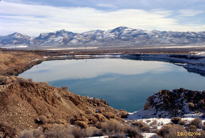
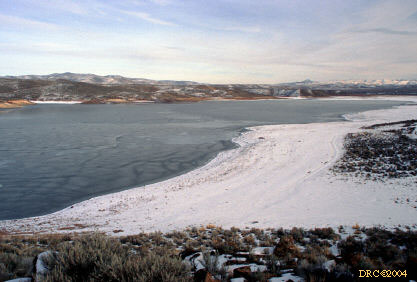
Stop 3-4, Willow Creek Reservoir
-
same stop, outflow ash-flow tuff of Big Cottonwood
Canyon caldera, rhyolitic
-
lava flow structures, return trip from Elko to
Reno